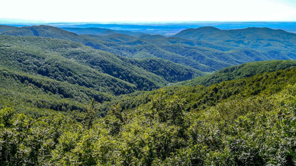
This is a 1,172.3 km long hiking trail, which runs through the northern, hilly part of Hungary.
The National Blue Trail [Országos Kéktúra] spans the length of Hungary, beginning at Írott-kő in the Kőszeg Mountains on the Hungarian–Austrian border and stretching across the northern part of the country to the village of Hollóháza in the Zemplén Mountains [Zempléni-hegység] near the Hungarian–Slovak border. The trail measures 1,172.3 km in total length and is marked with a horizontal blue stripe between two white stripes, which is why it is named Blue Trail. The trail is part of the National Blue Circle [Országos Kékkör], a 2,500 km-long route that spans across Hungary, along with the South Transdanubian Blue Trail [Dél-Dunántúli Kéktúra] and the Great Plain Blue Trail [Alföldi Kéktúra]. It is also part of the European Long Distance Walking Route E4.
Although the trail can be walked from either direction, the descriptions and numbering in the guide follow a west to east order. The route is divided into 27 sections of varying lengths and difficulty. Hikers are free to complete the whole route or individual sections at their own pace, without any time restrictions or specific order.
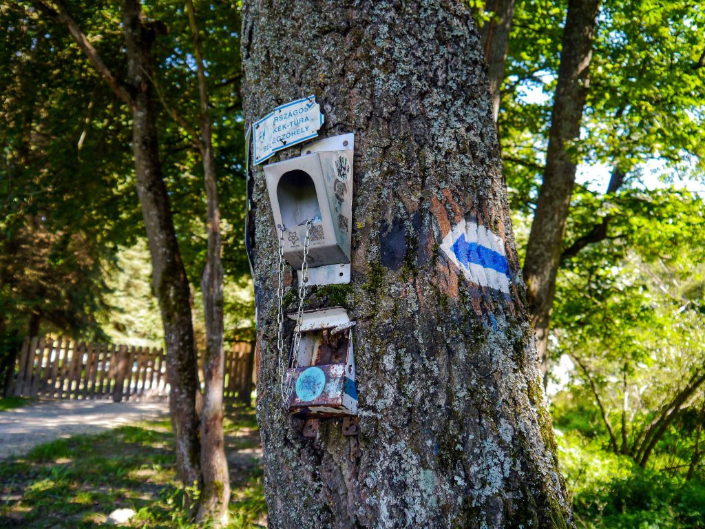
For hikers seeking official recognition of their achievement, there are 159 checkpoints (stamping locations) along the route. To confirm completion of the trail, participants must visit each checkpoint, stamp the corresponding box in their National Blue Trail Hiking Logbook [Országos Kéktúra igazolófüzet és útvonalvázlat], and record the date. This personal logbook can be obtained from the Hungarian Hikers’ Association [Magyar Természetjáró Szövetség]. Once the entire trail has been completed, the logbook must be submitted to the association for verification and validation. Upon successful review, hikers are awarded a certificate and a commemorative badge. A recently introduced Kéktúra app also allows for digital stamping.
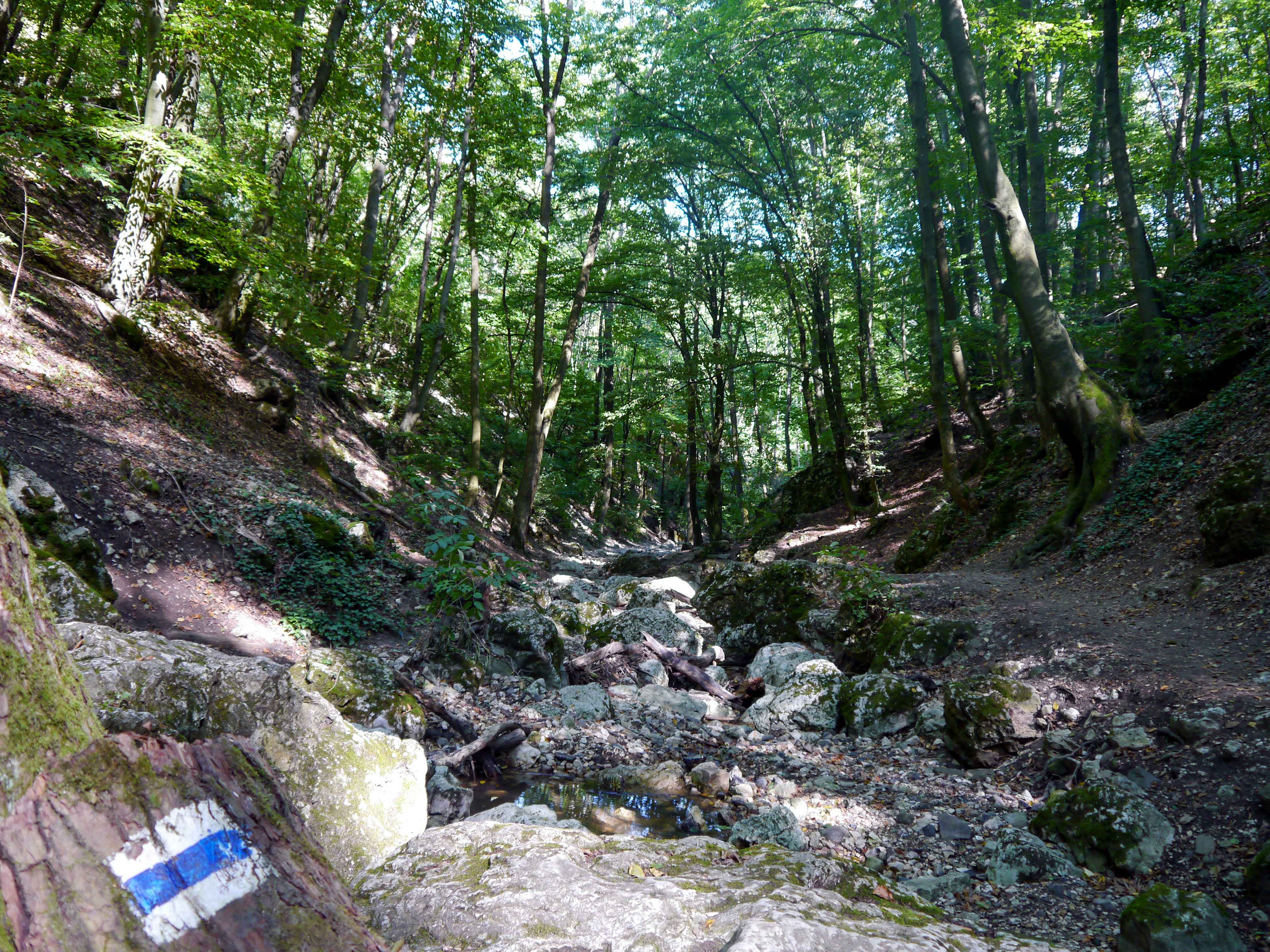
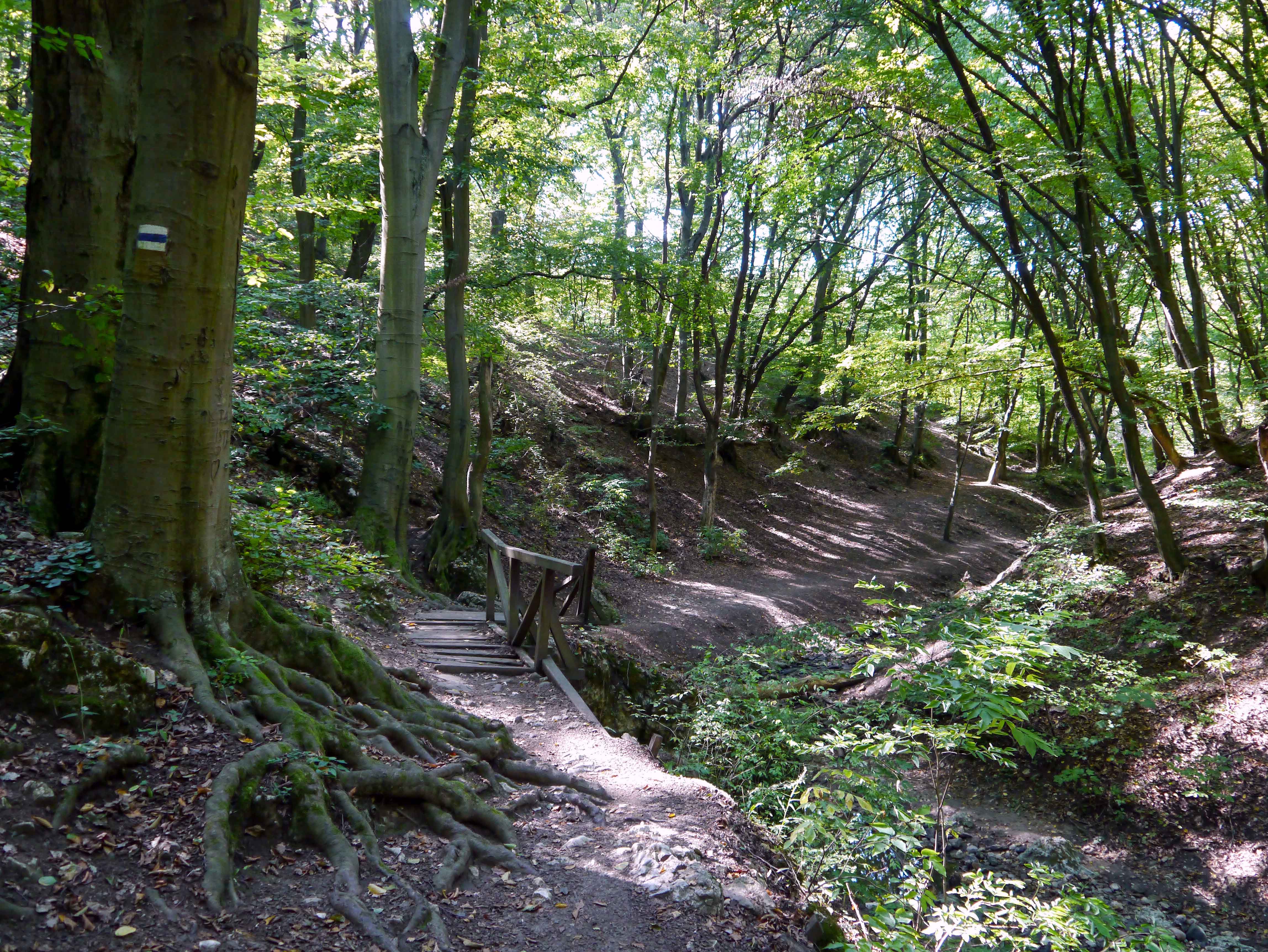
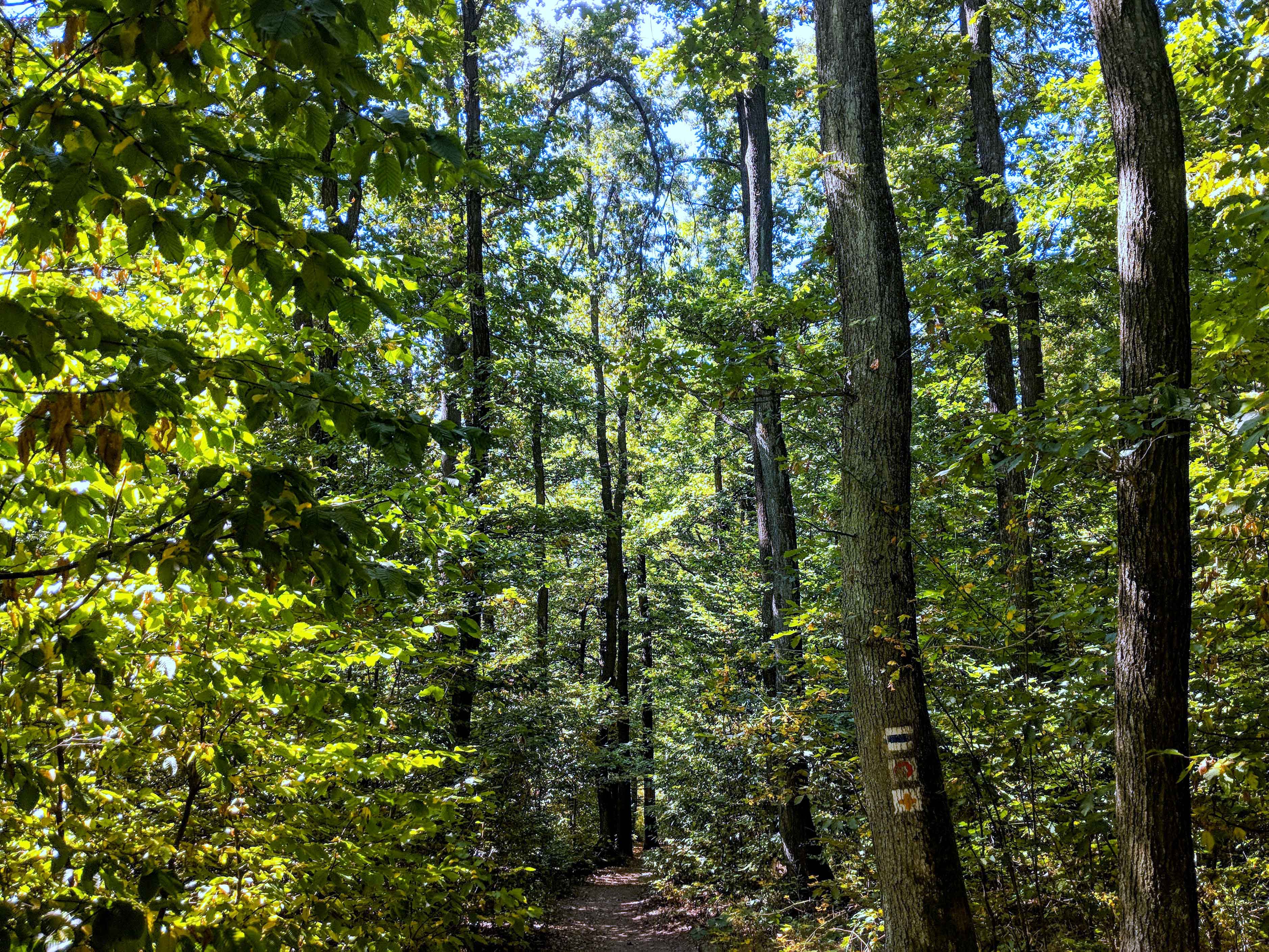
The Kéktúra (Hungarian only) and Természetjáró (available in Hungarian, English, and German) websites provide comprehensive information on each section of the trail, including the location of stamping points, distances, elevation profiles, accommodations, and points of interest. Along the route, hikers will find numerous trail markers painted on trees, posts, and rocks to aid navigation. In addition, the Kéktúra app (developed specifically for the National Blue Circle) and the more general Természetjáró tour planner app are available, both offering interactive maps that display hikers’ current location, along with comprehensive information. As the Hungarian Hikers’ Association continuously works to improve the trail, changes to the route and stamping points have occurred over the years. Therefore, the official websites and apps are the most reliable sources of up-to-date information.

OKT-01 Írott-kő – Sárvár
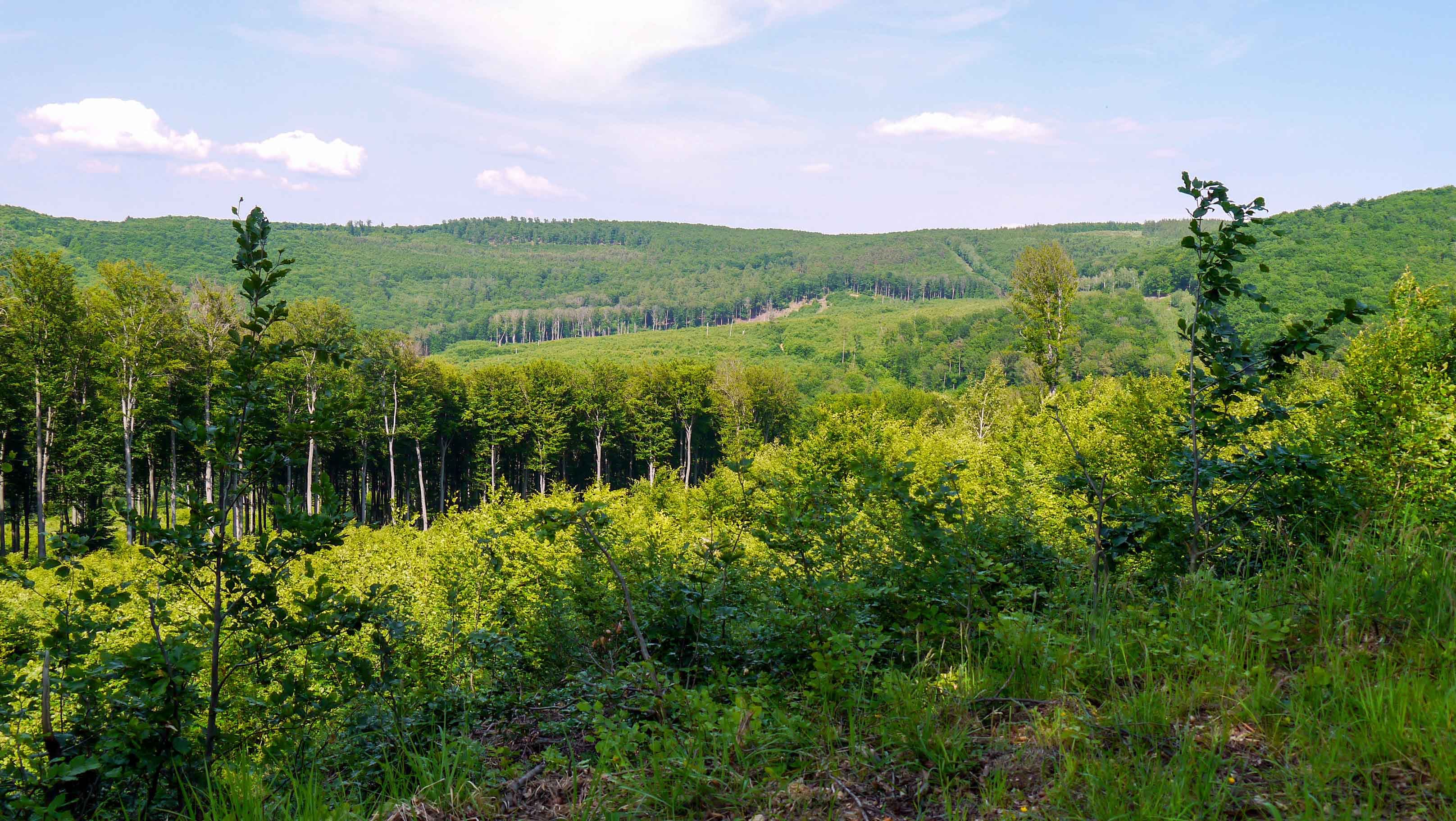
This section of the trail meanders through the valleys and peaks of the Kőszeg Mountains [Kőszegi-hegység], also giving hikers an opportunity to explore the well-preserved medieval inner town of Kőszeg. Leaving the mountainous terrain behind, the trail traverses the Small Plain [Kisalföld], the flattest stretch of the entire route, before finally arriving at the town of Sárvár, where hikers can relax in the renowned thermal spas.
| Start | End | Distance (km) | Ascent (m) | Descent (m) | Duration |
|---|---|---|---|---|---|
| Bozsok | Írott-kő | 7.9 | 665 | 115 | 2:10 |
| ÍROTT-KŐ | SÁRVÁR | 72.5 | 570 | 1290 | 18:50 |
| Írott-kő | Hét-forrás | 9.0 | 145 | 590 | 2:30 |
| Hét-forrás | Kőszeg | 4.8 | 95 | 255 | 1:20 |
| Kőszeg | Tömörd | 15.8 | 130 | 180 | 4:10 |
| Tömörd | Ablánci malom | 9.8 | 70 | 110 | 2:30 |
| Ablánci malom | Szeleste | 10.8 | 85 | 100 | 2:50 |
| Szeleste | Bögöt | 9.4 | 35 | 35 | 2:20 |
| Bögöt | Csényeújmajor | 7.4 | 5 | 10 | 1:50 |
| Csényeújmajor | Sárvár | 5.5 | 5 | 10 | 1:20 |
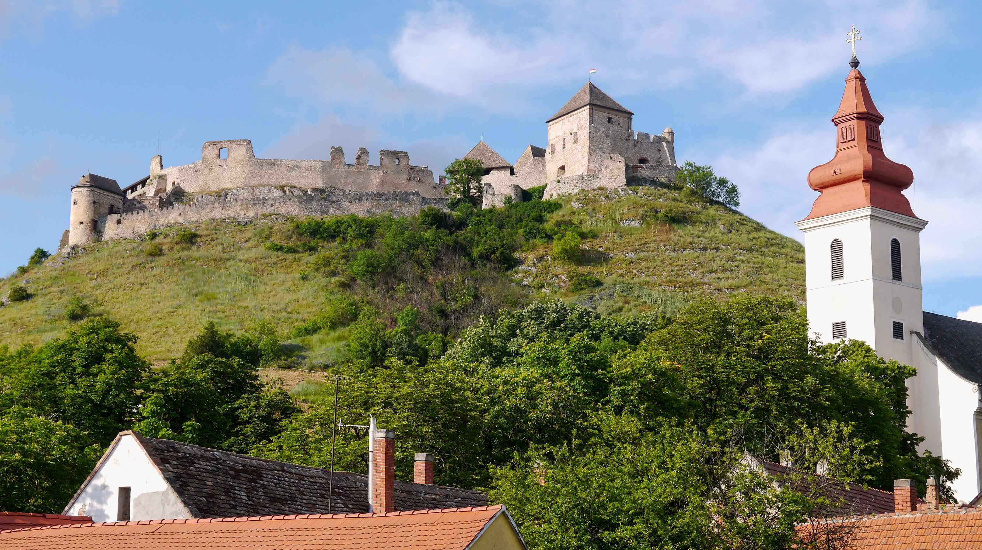
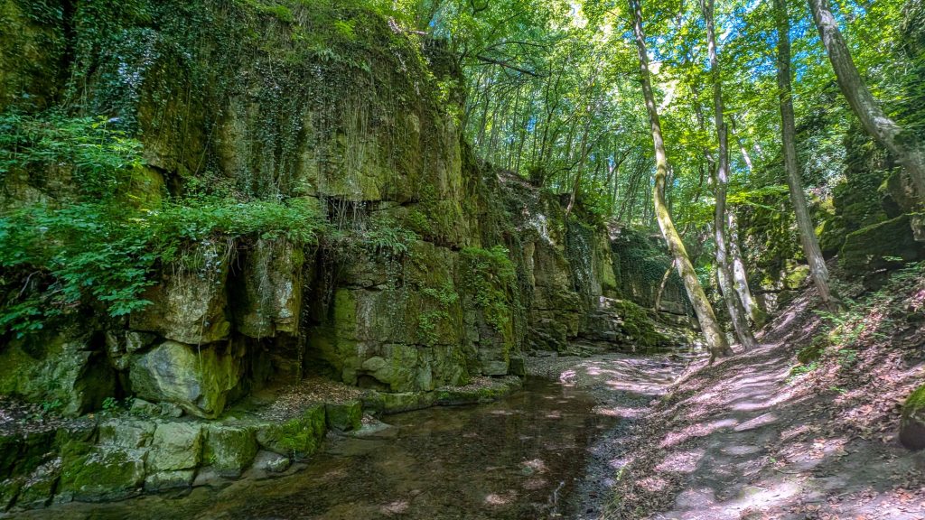
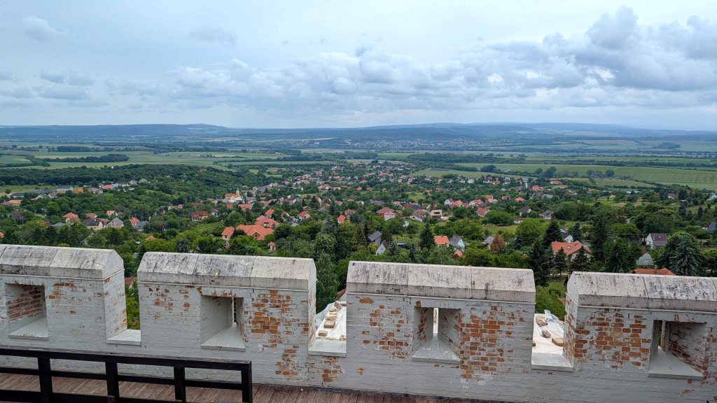
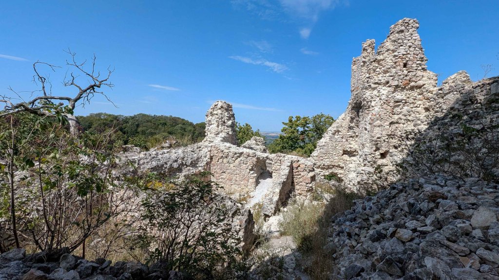
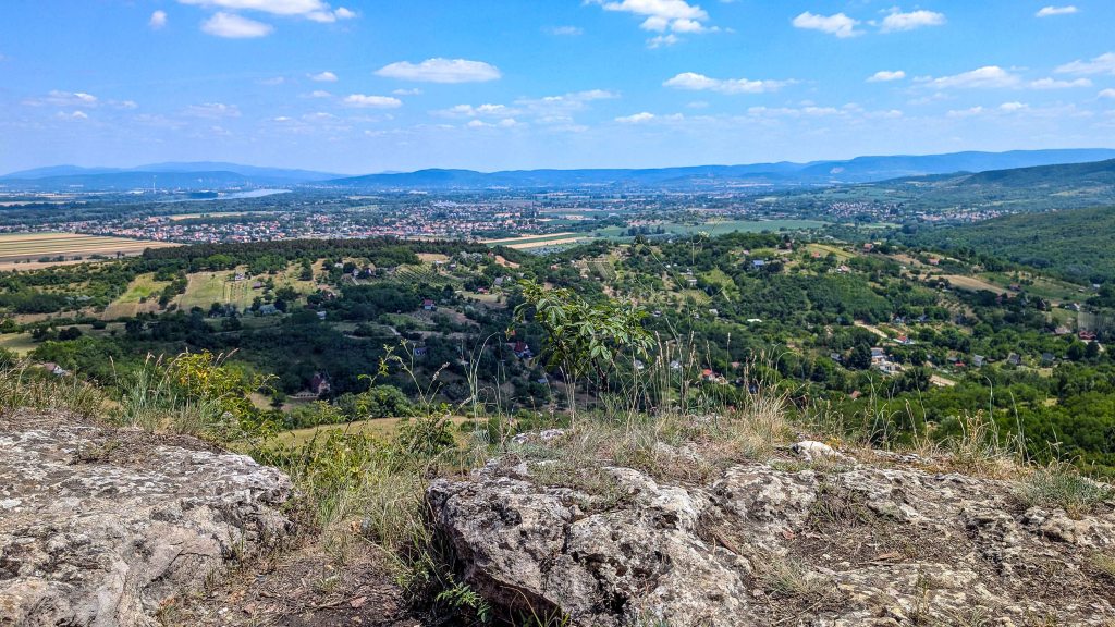
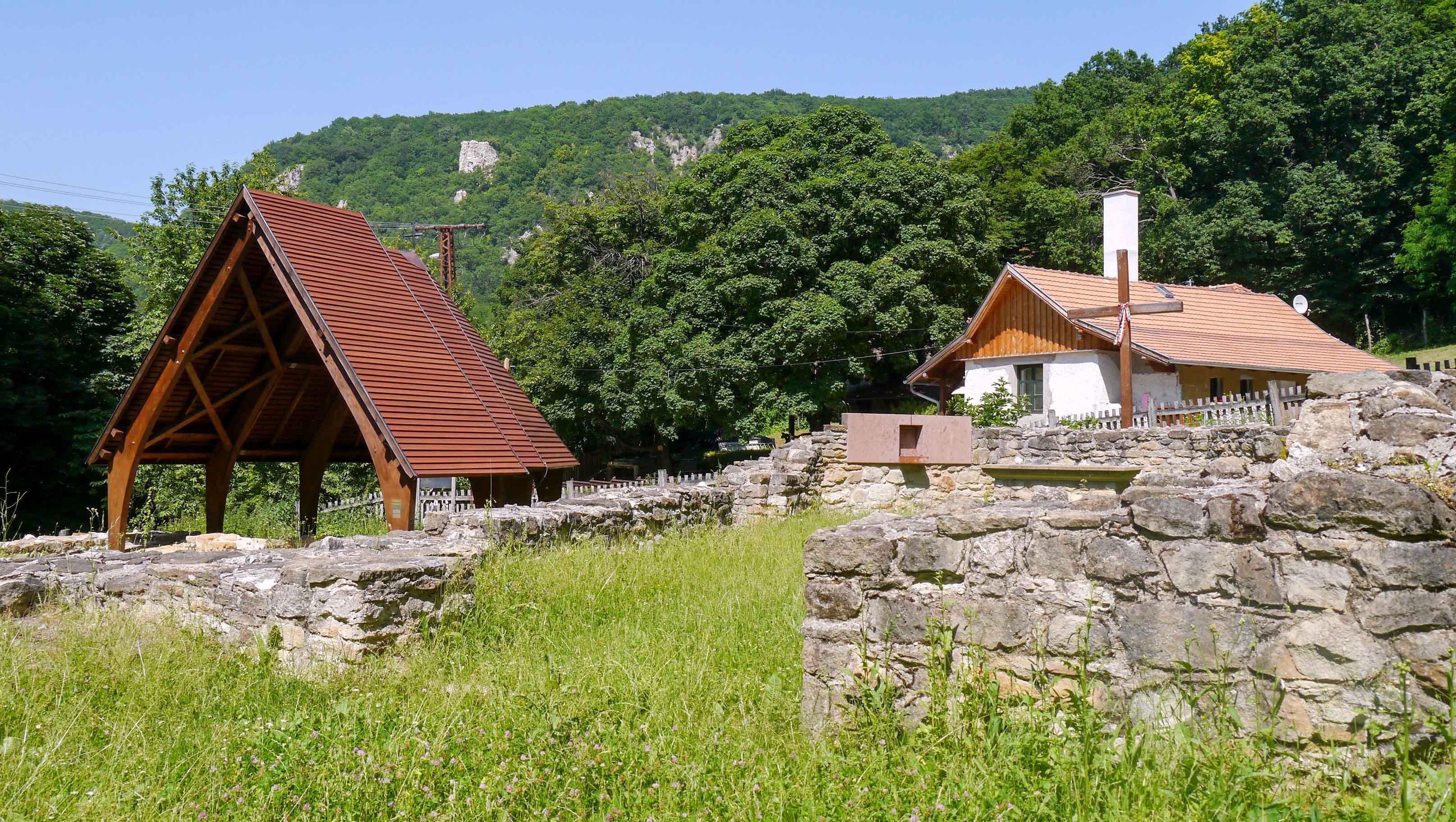
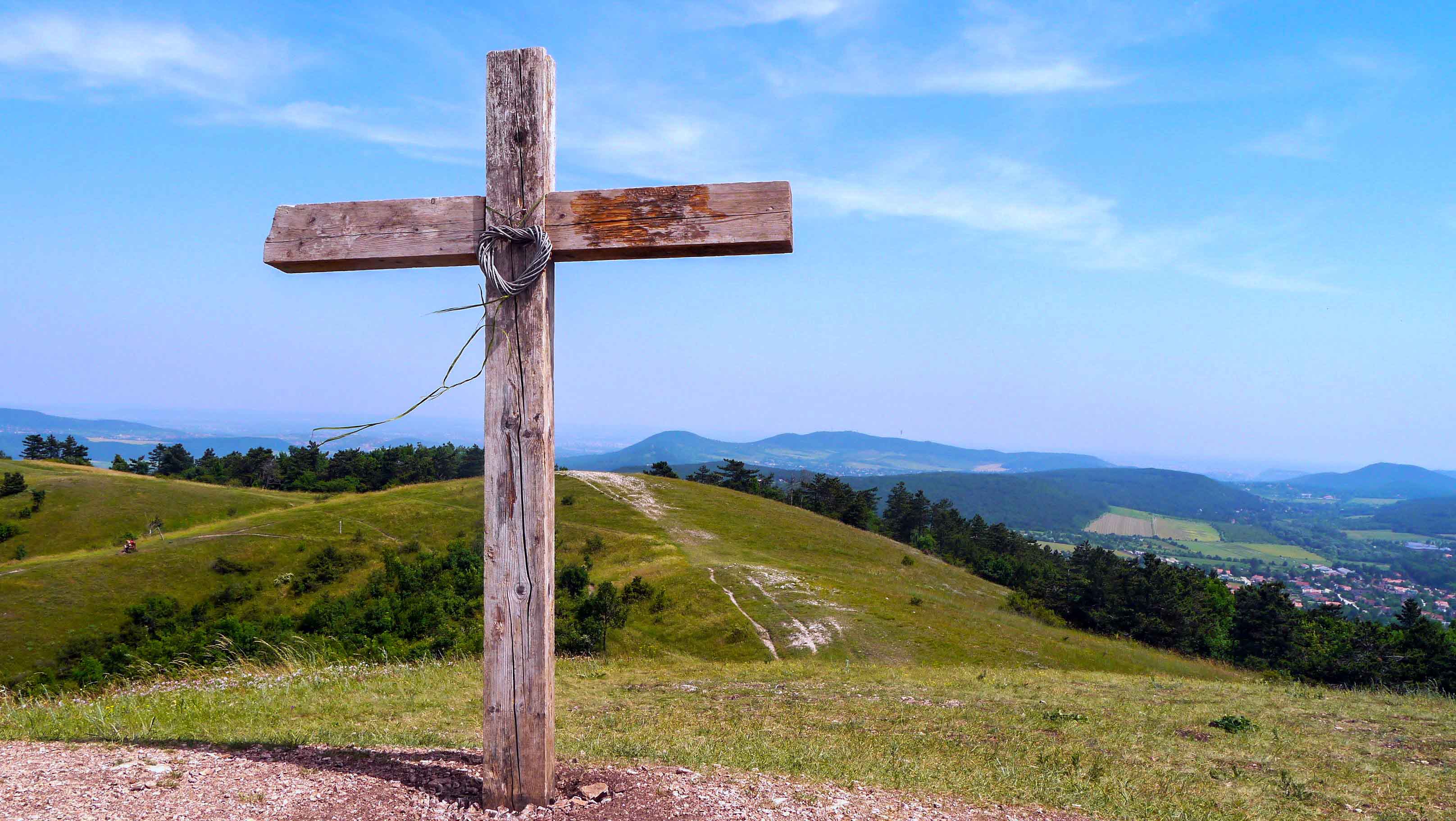
Írott-kő stands as the highest peak of Transdanubia, offering a commanding panoramic view over the Alps from its lookout tower situated on the Hungarian-Austrian border. Nestled within the heart of the forest, one way to reach Írott-kő is from Bozsok via the South Transdanubian Blue Trail [Dél-Dunántúli Kéktúra].
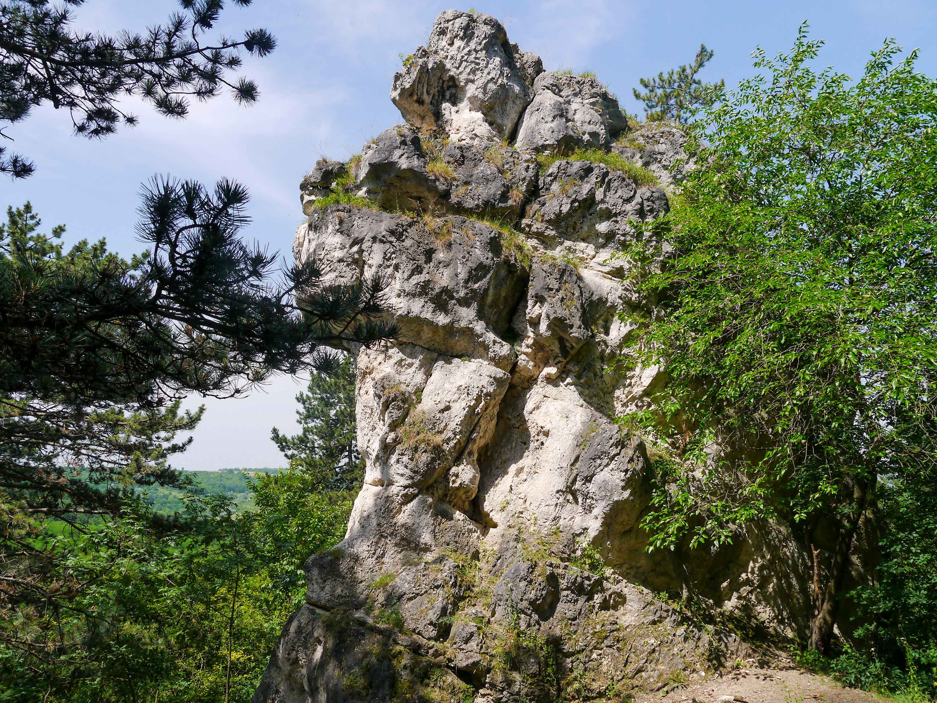
Once the lookout tower is left behind, the trail begins to descend along the ridge of Írott-kő. For decades, this part of the mountain range was inaccessible due to the technical border barrier of the Iron Curtain, which divided Europe and stretched through this area. Passing through a dark canopy of red pines, the trail reaches a forest road that passes by the Hörmann spring [Hörmann-forrás], Styrian House Forestry Museum [Stájer-házi Erdészeti Múzeum], Red Cross [Vörös kereszt], and Óház Lookout Tower [Óház-kilátó]. The tower provides beautiful views over the Kőszeg Mountains and Small Plain. Continuing its descent from the lookout tower, the trail leads to the valley of Seven Springs [Hét-forrás]. The seven spouts delivering water to the pool symbolize the seven chieftains of the Hungarian Conquerors in the Carpathian Basin in 895 AD. After passing the spring, the trail ascends to Pintér Peak [Pintér tető]. About halfway to the summit, visitors can opt for a short detour along a green trail to visit the St Germain Cross [Szent Germain kereszt].
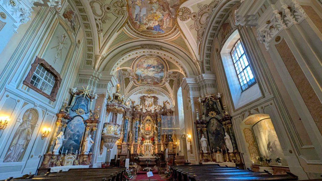
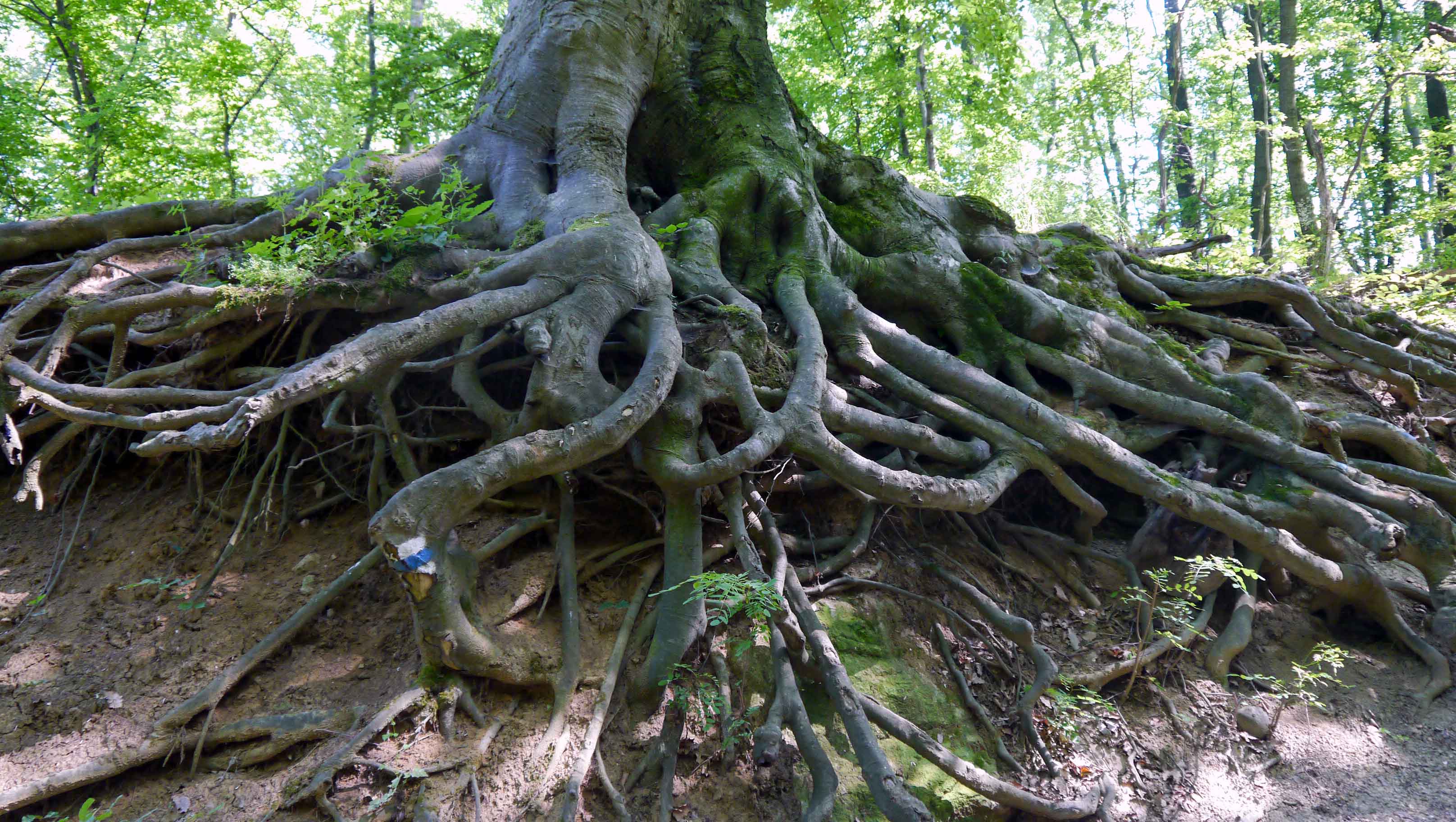
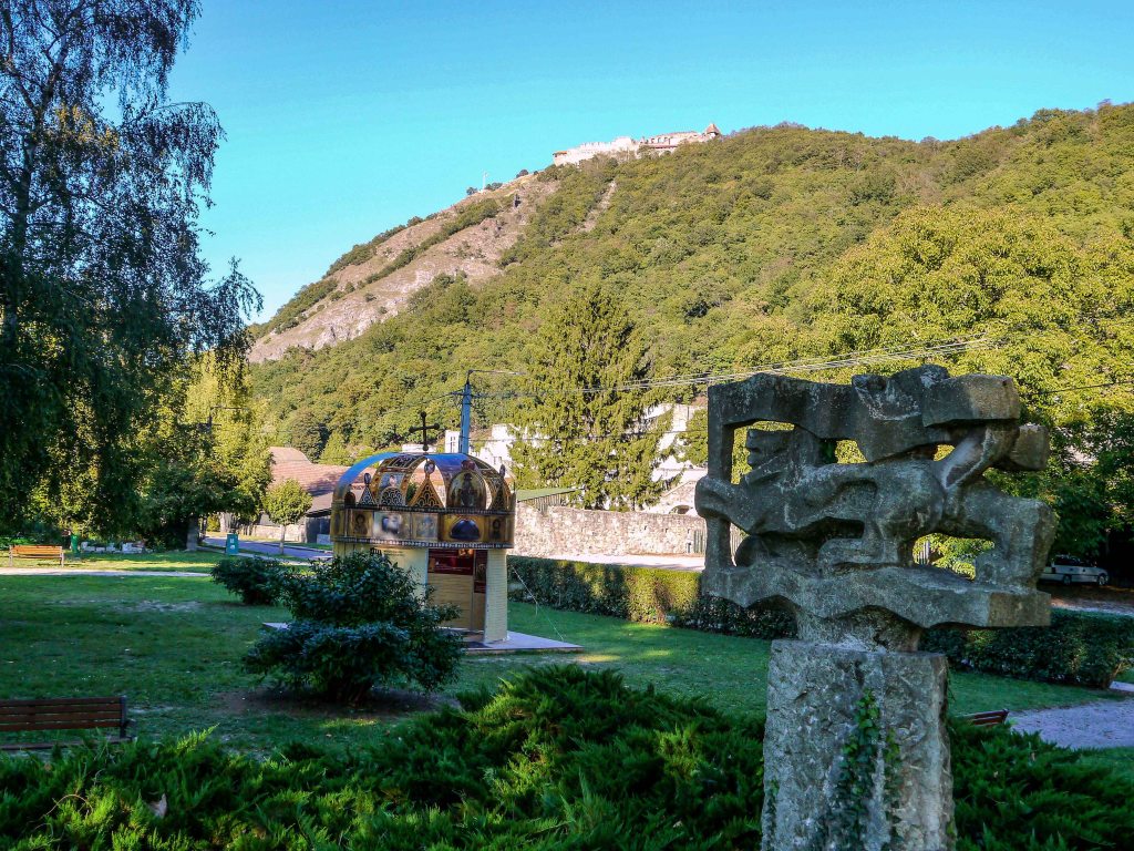
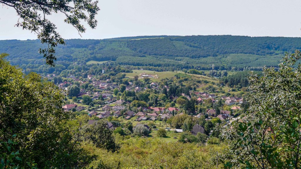
Leaving the peak behind, the trail meanders through a mixed forest, ultimately reaching the hilltop where Calvary Church [Kálvária-templom] stands. This vantage point offers a picturesque panorama of Kőszeg that stretches beyond the vineyards on the town’s outskirts. From here, descending steeply, the trail leads to the town along the Stations of the Cross. At the base of the hill, there is a bunker where the Holy Crown [Szent Korona] of Hungary was hidden for a few days in March 1945. As the trail continues towards the town center, the historic charm of Kőszeg gradually reveals itself. Kőszeg is among those rare towns where the medieval walls remain remarkably well-preserved, and the layout of the medieval inner town remains unaltered. It is worth spending some time wandering through the cobblestone streets and visiting attractions such as Jurasics Castle [Jurasics vár], the Town Museum [Városi múzeum], and the Golden Unicorn Apothecary Museum [Arany egyszarvú patikamúzeum]. As the trail winds through the streets, it also passes by the Reformed Church [Református templom], a unique yurt-like building designed in the style of Organic Architecture.
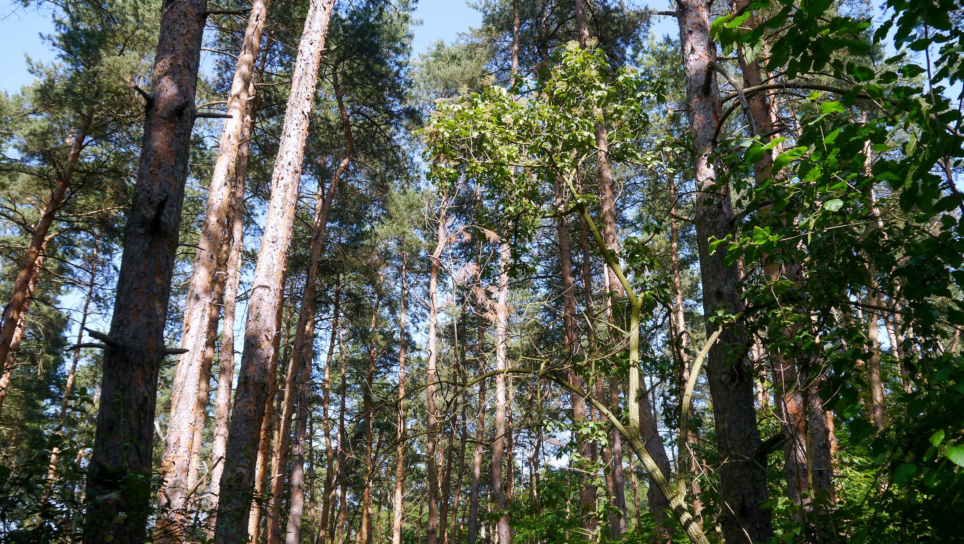
After leaving the urban area, the trail quickly reaches the former line of the Iron Curtain. It traverses a dense pine grove and then crosses an open field before eventually arriving at the village of Tömörd. The terrain remains nearly entirely flat from this point onwards until Sümeg, which will be visited later along the way. The trail continues through fields and patches of forest, crosses the Ablánc Creek [Ablánc-patak], and finally reaches the remnants of the Ablanc Mill [Ablánci malom]. Further along, the trail passes under railway tracks through an underpass and proceeds across fields and groves, leading to the village of Szeleste. In the village, hikers can unwind in the Arboretum or spend the night at the Festetich Castle [Festetich Kastély], which currently operates as an upscale hotel.
Exiting Szeleste might evoke a sense of unease, as the trail follows a slip road along the highway. Continuing a pattern similar to previous sections, the trail meanders through fields and patches of forest before reaching the village of Bögöt. Once the village is left behind, the trail crosses the railway tracks twice and soon enters the woods. After traversing through clearings in Tilos Woods [Tilos-erdő], the trail predominantly follows paved roads leading to the village of Csénye, and subsequently continues until it arrives at the village of Csényeújmajor. Departing from the paved roads, the trail runs alongside Gyöngyös Creek [Gyöngyös-patak] until it reaches the town of Sárvár.

OKT-02 Sárvár- Sümeg
This section of the trail winds its way through the Small Plain [Kisalföld], earning it the distinction of being the second-longest flatland stretch along the entire trail. On the route, hikers can take advantage of several opportunities to relax, such as the thermal spas of Sárvár or the tranquil Szajki Lakes [Szajki-tavak]. Additionally, history enthusiasts will appreciate a visit to the impressive Sümeg Castle [Sümegi vár].
| Start | End | Distance (km) | Ascent (m) | Descent (m) | Duration |
|---|---|---|---|---|---|
| SÁRVÁR | SÜMEG | 72.6 | 450 | 450 | 18:50 |
| Sárvár | Gérce | 10.1 | 90 | 70 | 2:40 |
| Gérce | Rózsáskerti erdészház | 2.5 | 25 | 20 | 0:40 |
| Rózsáskerti erdészház | Hidegkúti vadászház | 4.7 | 20 | 35 | 1:10 |
| Hidegkúti vadászház | Káld | 6.6 | 75 | 80 | 1:50 |
| Káld | Hosszúpereszteg | 10.9 | 90 | 105 | 2:50 |
| Hosszúpereszteg | Szajki erdészház | 5.8 | 35 | 30 | 1:30 |
| Szajki erdészház | Ötvös | 15.3 | 55 | 55 | 4:00 |
| Ötvös | Kisvásárhely | 8.0 | 25 | 50 | 2:00 |
| Kisvásárhely | Sümeg | 8.7 | 35 | 5 | 2:10 |
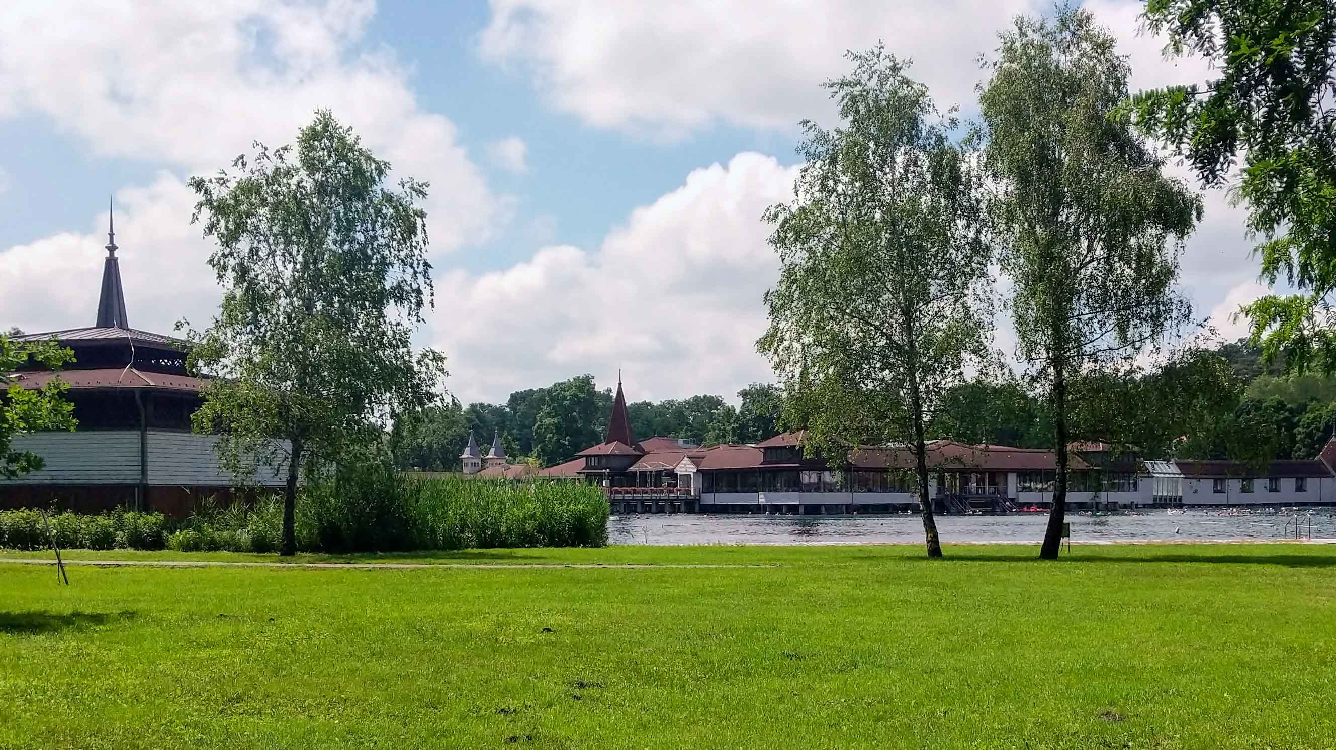
Sárvár is a renowned thermal spa town, known for its two types of healing water: a 43°C medicinal water drawn from a depth of 12,000 meters and an 83°C medicinal water sourced from a depth of 2,000 meters. The 43°C thermal water contains alkaline bicarbonates, primarily sodium chloride, bicarbonate, and trace elements. It is particularly suitable for treating locomotor disorders and neurological complaints. While, the 83°C thermal water has a high salt content, comprising sodium chloride, hydrogen carbonate, iodine, bromine, fluorine, and numerous trace elements. The famous Sárvár Thermal Crystal [Sárvári termálkristály] is derived from this saline water through distillation. The salt bath can be utilized in the treatment of locomotor disorders, as well as gynecological and dermatological conditions. Apart from Sárvár’s thermal spas, hikers also have the opportunity to explore the Nádasdy Castle [Nádasdy-vár], take a leisurely stroll through the Arboretum, or unwind in Vadkert Park.
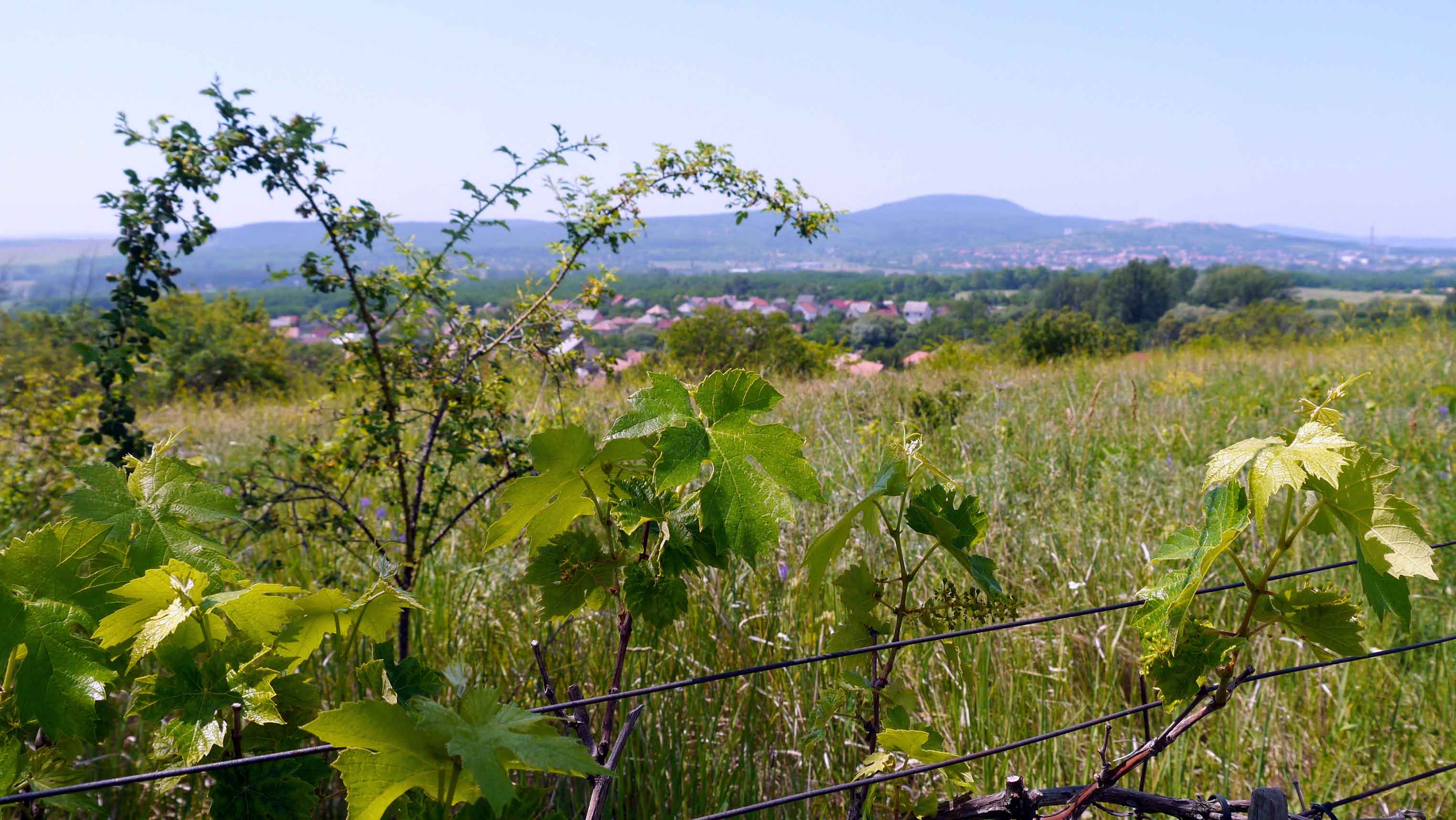
Having passed Sárvár’s historic downtown and lakes, the trail crosses the bridge spanning the Rába River, then continues its path along paved roads. Advancing further, the trail meanders through meadows, fields, and groves, ultimately arriving at the village of Sitke. After passing the Calvary chapel and the Alginate mine, the trail runs along vineyards and poppy fields before reaching the village of Gérce.
Leaving the village behind, the trail crosses the Farkas Forest [Farkas-erdő] and passes the Rózsáskert Forester’s Lodge [Rózsáskerti erdészház] and the Hidegkút Hunters’ Lodge [Hidegkúti vadászház]. Once the hunter’s lodge is left behind, the hikers can opt for a short detour to visit the Scherg Lőrinc Lookout Tower [Scherg Lőrinc kilátó]. Continuing through the forest, the trail eventually leads to the village of Káld.
After departing from the village, the trail traces along a forest’s edge and then crosses fields before reaching the village of Hosszúpereszteg. Exiting the village on a paved road, the trail swiftly arrives at the Szajki Forest [Szajki erdő], ultimately leading to the Szajki Lakes [Szajki-tavak]. The designated stamping point is located at the Szajki Forester’s Lodge [Szajki erdészház]. In summer, the lakes offer an opportunity to refresh for exhausted hikers.
Continuing its course, the trail traverses through fields, groves, and pastures, alternating between dirt tracks, clearings, and forest roads. Upon reaching the forest’s edge, the trail merges with a main road, crosses the railway overpass, and soon enters the Dergecsi Forest [Dergecsi-erdő], eventually arriving at the Ötvös stamping point. Progressing through fields and following paved roads, the trail leads to the village of Kisvásárhely, and subsequently continues until it arrives at the town of Sümeg.
Before entering the town, hikers can catch sight of the Sümeg Castle [Sümegi vár] perched atop a distant horst. This medieval castle dominates the town’s skyline and merits spending time for exploration. Beside the castle, Sümeg is renowned for its religious heritage. The Franciscan Church of Our Lady of the Sickle [Sarlós Boldogasszony-kegytemplom] stands as a pilgrimage site where over 60 miraculous healings have occurred. Additionally, the Baroque Church of the Ascension of Our Lord [Urunk Mennybemenetele templom] is decorated with exquisite frescoes by Franz Anton Maulbertsch. Visitors can also venture into the Sándor Kisfaludy Museum [Kisfaludy Sándor múzeum], dedicated to the distinguished Hungarian poet who was both born and laid to rest in the town.

OKT-03 Sümeg – Keszthely
This section of the trail gradually leaves the flat terrain of the Small Plain [Kisalföld] behind and ventures into the Keszthely Mountains [Keszthelyi-hegység], featuring charming mountain villages, picturesque vineyards, and ruined hilltop castles. The trail culminates in the thermal spa town of Hévíz, continues through the vibrant city of Keszthely, and finally reaches the shores of Lake Balaton.
| Start | End | Distance (km) | Ascent (m) | Descent (m) | Duration |
|---|---|---|---|---|---|
| SÜMEG | KESZTHELY | 45.3 | 825 | 895 | 12:40 |
| Sümeg | Sarvaly erdészház | 6.4 | 80 | 45 | 1:40 |
| Sarvaly erdészház | Zalaszántó | 14.4 | 345 | 355 | 4:10 |
| Zalaszántó | Rezi | 7.1 | 235 | 175 | 2:10 |
| Rezi | Gyönygyösi csárda | 2.6 | 15 | 155 | 0:40 |
| Gyönygyösi csárda | Hévíz | 7.9 | 95 | 110 | 2:10 |
| Hévíz | Keszthely | 6.9 | 55 | 55 | 1:50 |
Once the urban area of Sümeg is left behind, the trail follows a gravel road leading to the Caveman’s Mine [Ősember-bánya] geological site. Continuing its course, the trail traverses meadows, crosses the railway tracks, passes through forests, and finally arrives at Sarvaly Forester’s Lodge [Sarvaly erdészház].
Winding through the forest, the trail ascends steeply and eventually passes near the ruins of Tátika Castle [Tátika-vár]. Although the castle is not situated on the blue trail, hikers can take a short detour along the Blue L path to reach it and enjoy the splendid views of the surrounding area. Leaving the castle behind, the trail meanders through the forest, eventually arriving at the outskirts of the village of Zalaszántó. The village is known for its Stupa of Peace [Béke Stupa], the largest Buddhist monument in Europe, and the Kotsy Watermill [Kotsy-vízimalom]. A series of Iron Age barrows can be found in the meadow on the outskirts of the village.
Past the village, the trail leads to a meadow, crosses the Gyöngyös Creek [Gyöngyös-patak], and begins a long and steep ascend towards the ruins of Rezi Castle [Rezi-vár]. Although the castle is not situated on the blue trail, hikers can take a short detour to reach it and enjoy the splendid views of Zalaszántó and the surrounding area. Continuing through the forest, the trail arrives at the village of Rezi. Beyond the village, the trail passes by vineyards and reaches the Gyöngyös Inn [Gyöngyösi csárda]. Next to the inn, under a willow tree, are the graves of legendary local outlaws, Vak Illés and Kőkes Pista.
The trail continues along a gravel track winding across the slopes of Vas Hill [Vas-hegy] towards the town of Hévíz. Before entering the town, hikers can enjoy the wine cellars of Egregy. Hévíz is located near Lake Hévíz [Hévízi-tó], the world’s second-largest thermal lake. The foundation of bath culture in the area was laid by the Romans in the 2nd century, who recognized the therapeutic benefits of the lake’s mineral-rich waters. It is well worth spending some time relaxing in the thermal waters, which are believed to aid in the treatment of various ailments, including arthritis and rheumatism.
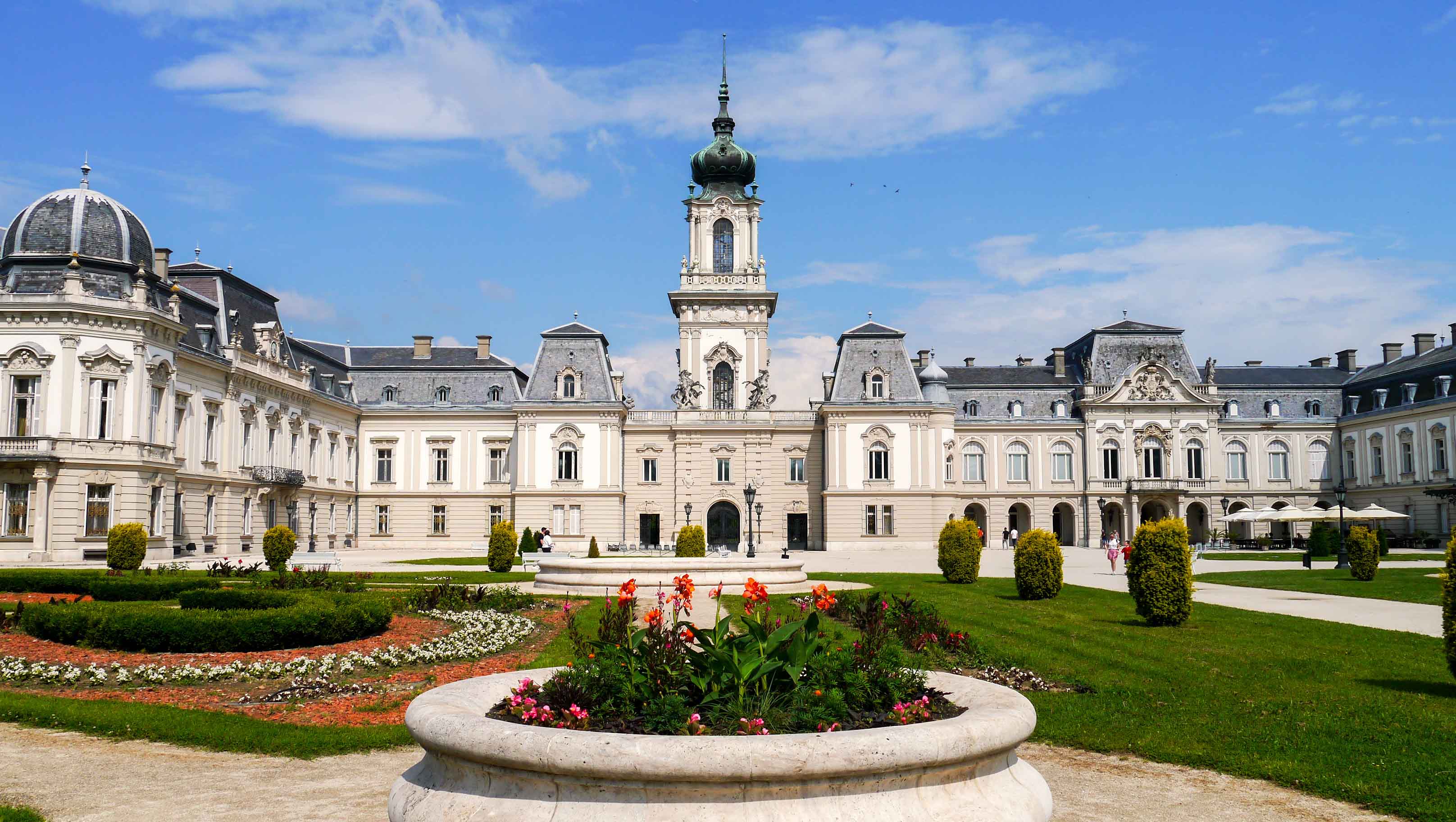
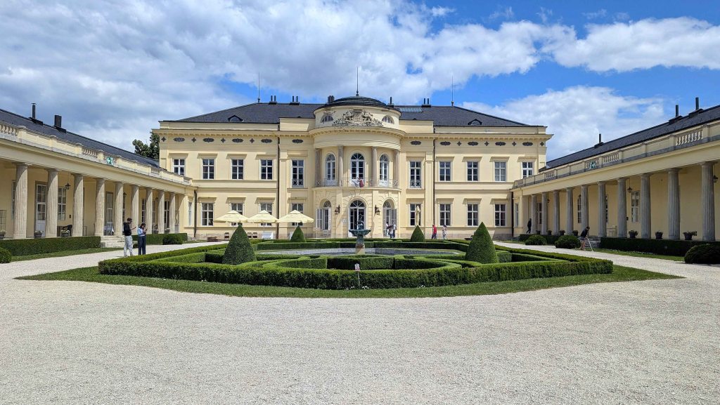
As the last leg of this section, the trail follows a biking route towards the city of Keszthely. The city owes much of its historical and cultural significance to the Festetics family, an old Hungarian noble family of Slavic origin. In 1745, Kristóf Festetics chose Keszthely as the center of the family estate, significantly shaping the city’s development and heritage. A highlight of Keszthely is the Festetics Palace [Festetics-kastély], an opulent Baroque palace built in the 18th century. It is one of the largest and most beautiful palaces in Hungary, surrounded by meticulously maintained gardens. The palace features a stunning interior with richly decorated rooms, antique furniture, and an extensive library. The Helikon Library, founded by Count György Festetics, houses a remarkable collection of over 86,000 volumes, making it one of Hungary’s most important historic libraries. The palace complex is also home to several exhibitions, such as the Palm House and Bird Park [Pálmaház és madárpark], the Carriage Museum [Hintó múzeum], the Hunting Museum [Vadászati múzeum], the Model Railway Museum [Modellvasút múzeum], and the Aristocratic Travels and Journey Adventures Exhibition [Főúri utazások, úti kalandok kiállítás]. Beyond the palace, the Georgikon Museum is a significant cultural and historical institution dedicated to preserving and showcasing the agricultural heritage of Hungary. In 1797, Count György Festetics founded the Georgikon here, the first higher education institution in Europe focused on the development of domestic farming. Keszthely is located on the western shore of Lake Balaton, providing opportunities for boating, swimming, and leisurely walks along the lakefront promenade. The Balaton Museum [Balatoni múzeum] is dedicated to the natural history, archaeology, ethnography, and cultural heritage of the Lake Balaton region.
OKT-04 Keszthely – Tapolca
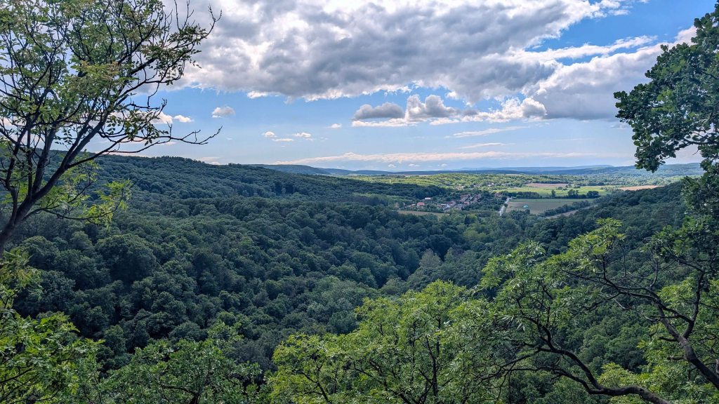
This section of the trail meanders through the dense forests and lush vineyards of the Keszthely Mountains [Keszthelyi-hegység], offering great views of the Tapolca Basin [Tapolca-medence] and its iconic buttes [tanúhegyek]. Upon descending into the town of Tapolca, hikers have the chance to unwind in the soothing thermal waters or embark on a unique adventure paddling through the mesmerizing underground lake.
| Start | End | Distance (km) | Ascent (m) | Descent (m) | Duration |
|---|---|---|---|---|---|
| KESZTHELY | TAPOLCA | 29.4 | 560 | 545 | 8:20 |
| Keszthely | Vállus | 13.5 | 345 | 225 | 4:00 |
| Vállus | Lesenceistvánd | 6.8 | 190 | 290 | 2:00 |
| Lesenceistvánd | Tapolca | 9.1 | 25 | 30 | 2:20 |
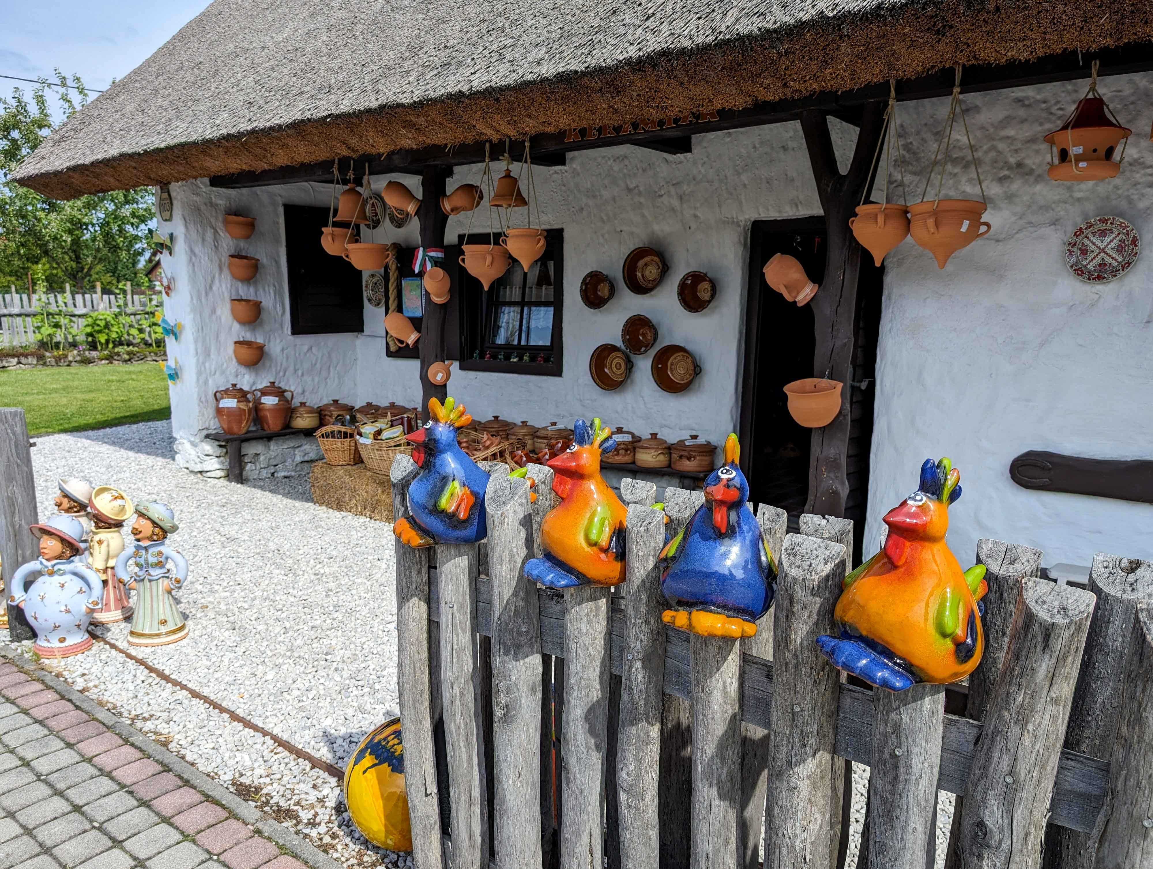
Leaving the stamping point at the railway station in Keszthely behind, the trail follows city streets and soon reaches the village of Gyenesdiás. Here, the trail passes by a charming pottery shop that offers both traditional and quirky artifacts. Once the urban area is left behind, the trail enters the woods and soon arrives at the Festetics Lookout Tower [Festetics kilátó], providing splendid views of Keszthely and Lake Balaton. Past the abandoned mine pits, Nagy-mező offers a great picnic spot. There is a sports shooting range nearby, so hikers should not be alarmed by any noise.
Further traversing through the forest, the trail eventually reaches the village of Vállus. In this village, the Láz-tető Lookout Tower [Láz-tetői kilátó] can be reached by a short detour, providing panoramic views over the Keszthely Mountains and the Tapolca Basin. Beyond the village, the trail crosses patches of forests, cultivated fields, and rolling vineyards of the Balaton Upland, offering stunning views of the buttes of the Tapolca Basin, before finally arriving at the village of Lesenceistvánd.
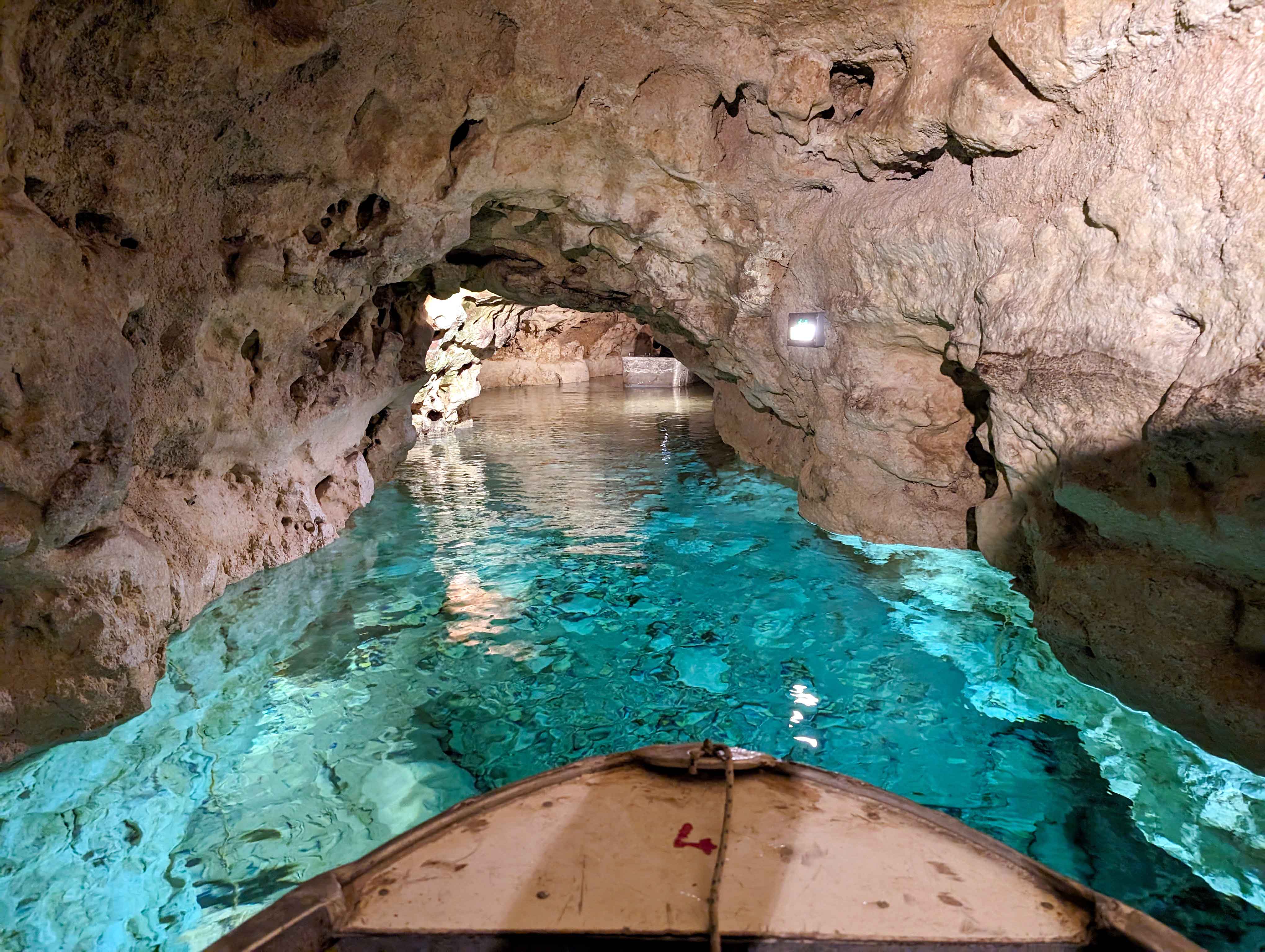
As the last part of this section, the trail follows paved roads towards the town of Tapolca. It is a custom among hikers on the Blue Trail to enjoy a pig’s brain toast at the stamping point, the Locomotive Pub. Tapolca is renowned for the extensive cave system located beneath the heart of the town, contributing to its therapeutic microclimate. The thermal waters found here are renowned for their healing properties, attracting visitors seeking wellness and relaxation. A significant part of the cave system is filled with water, forming the Tapolca Lake Cave [Tapolcai-tavasbarlang]. This underground cave system, featuring crystal-clear lakes, offers a unique opportunity for visitors to explore its hidden wonders by boat, making it a rare and memorable experience. Above ground, the town center is built around a picturesque mill pond fed by natural springs, surrounded by quaint historic buildings that add to the town’s charm.


OKT-05 Tapolca – Badacsonytördemic
This section of the trail traverses some of the buttes of the Tapolca Basin [Tapolcai-medence], featuring fascinating geological formations, vineyards flourishing in volcanic soil, and the medieval castle of Szigliget. The peaks offer spectacular views of the surrounding countryside and Lake Balaton. As the trail descends from the buttes, it eventually leads back to the shores of Lake Balaton.
| Start | End | Distance (km) | Ascent (m) | Descent (m) | Duration |
|---|---|---|---|---|---|
| TAPOLCA | BADACSONYTÖRDEMIC | 17.2 | 380 | 385 | 5:00 |
| Tapolca | Szent György-hegy | 6.0 | 160 | 10 | 1:50 |
| Szent György-hegy | Szigliget | 7.8 | 205 | 300 | 2:20 |
| Szigliget | Badacsonytördemic | 3.4 | 15 | 75 | 0:50 |
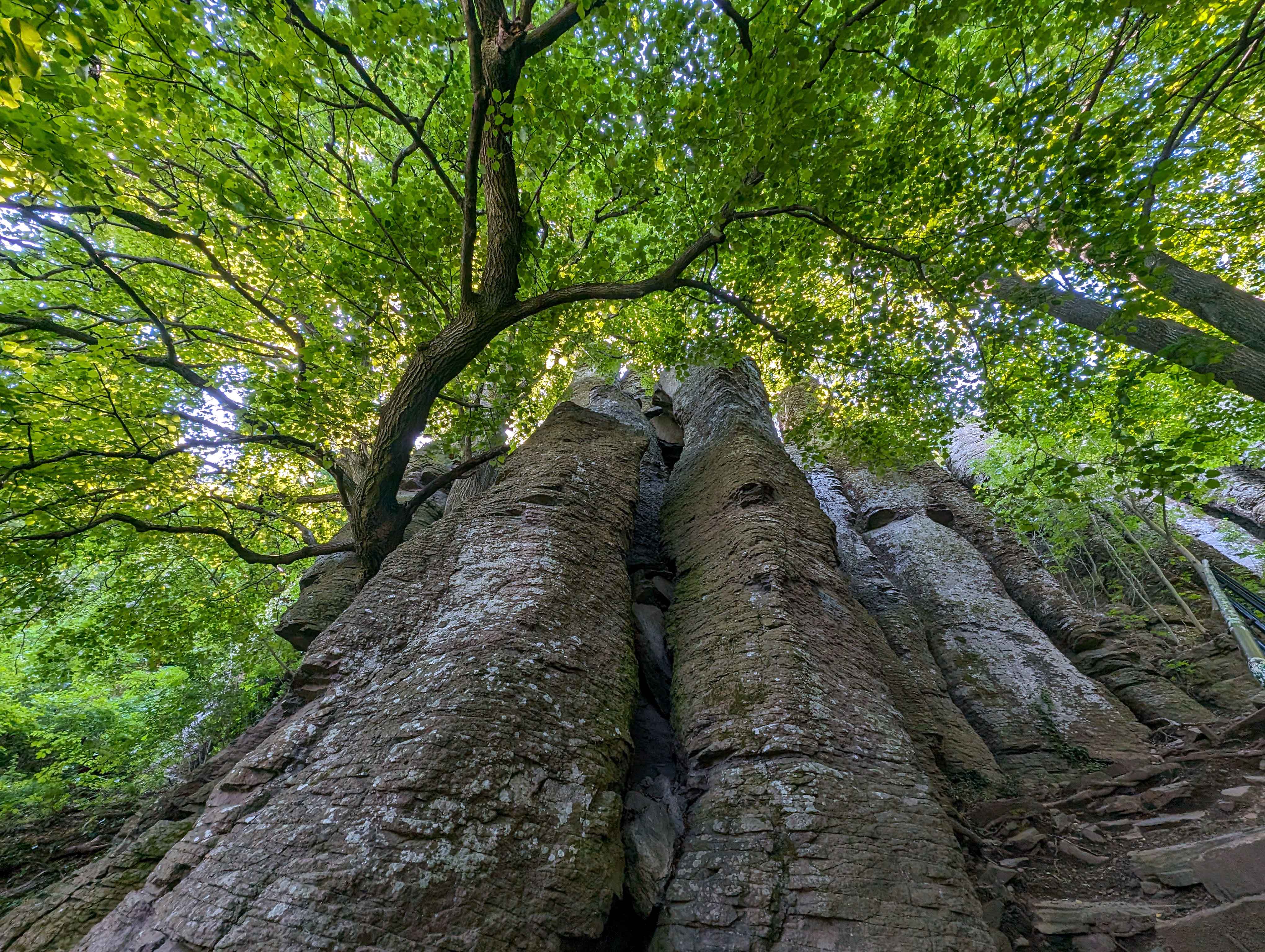
The town of Tapolca is situated inthe Tapolca Basin [Tapolcai-medence], renowned for its striking buttes, remnants of ancient volcanic activity that created a dramatic and unique landscape. Leaving the town behind, the trail leads into this remarkable landscape, initially following paved roadways before ascending through verdant vineyards and then traversing lush forests. This scenic route eventually reaches the Szent György Hill [Szent György-hegy] stamping point at the Károly Kaán Hikers’ Lodge [Kaán Károly kulcsosház]. Continuing the ascent, the trail leads to the geological curiosity known as the Basalt Organ Pipes [Bazaltorgonák]. These impressive formations consist of huge polygonal basalt columns that rise towards the sky, resembling the pipes of a giant organ. These natural wonders are a testament to the region’s volcanic past. The view from the top of these columns is nothing short of spectacular, providing a sweeping panorama of Tapolca and the Tapolca Basin. As the trail winds its way further, the south side of Szent György Hill reveals even more breathtaking vistas. From this vantage point, hikers are treated to stunning views over Lake Balaton.
From the peak, the trail descends through lush vineyards towards the village of Hegymagas and continues along a biking route to the next village, Szigliget. This section provides magnificent views of the Szigliget Castle [Szigligeti vár] and its surroundings. Perched atop a volcanic hill, this medieval castle offers a glimpse into the area’s historical significance and provides panoramic views of the Tapolca Basin and Lake Balaton. The recently restored remains of the castle, accessible by an uphill climb, allow visitors to explore its ancient walls and imagine the lives of those who once inhabited it. Beyond the castle, the trail winds through the charming streets of Szigliget, rich with history and picturesque scenery. Soon, via a short detour, hikers encounter the ruins of the Avas Church [Avasi-templom], a site that dates back to the Árpád Dynasty. This dynasty ruled the Principality of Hungary between the 9th and 10th centuries and the Kingdom of Hungary from 1000 to 1301. Named after the Hungarian Grand Prince Árpád, who led the Hungarian tribal federation during the conquest of the Carpathian Basin in 895, this dynasty played a crucial role in shaping Hungarian history. Following paved roads, the trial eventually leads to the village of Badacsonytördemic.


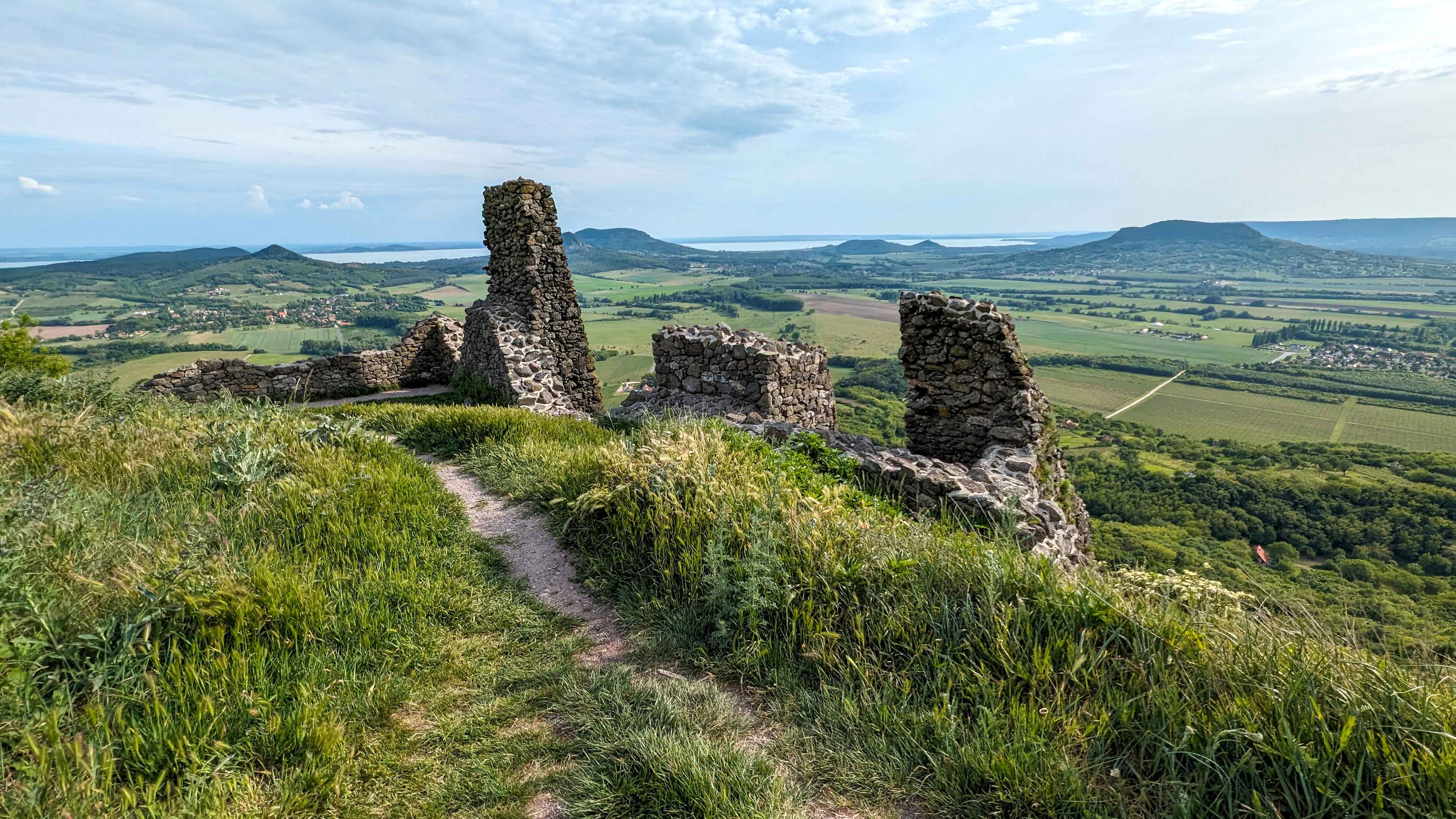
OKT-06 Badacsonytördemic – Nagyvázsony
This section of the trail continues to traverse the buttes of the Tapolca Basin [Tapolcai-medence], featuring lush vineyards and the ruins of Csobánc Castle [Csobánc vára]. The peaks offer spectacular views of the surrounding countryside and Lake Balaton. As the trail leaves the buttes, it winds its way into the Kál Basin [Káli-medence], a region known for its charming villages and the striking geological formation called Sea of Stones [Kőtenger]. Additionally, the trail features the medieval Kinizsi Castle [Kinizsi vár] and the remains of several monasteries established by the Paulin Order [pálosok].
| Start | End | Distance (km) | Ascent (m) | Descent (m) | Duration |
|---|---|---|---|---|---|
| BADACSONYTÖRDEMIC | NAGYVÁZSONY | 49.7 | 1575 | 1430 | 15:00 |
| Badacsonytördemic | Badacsony | 4.3 | 405 | 80 | 1:40 |
| Badacsony | Káptalantóti | 9.1 | 165 | 475 | 2:30 |
| Káptalantóti | Csobánc | 4.0 | 255 | 30 | 1:20 |
| Csobánc | Szentbékkálla | 9.5 | 240 | 420 | 2:50 |
| Szentbékkálla | Balatonhenye | 8.7 | 260 | 210 | 2:40 |
| Balatonhenye | Csicsói erdészház | 6.2 | 170 | 75 | 1:50 |
| Csicsói erdészház | Nagyvázsony | 7.9 | 80 | 140 | 2:10 |
Leaving Badacsonytördemic behind, the trail begins at the base of Badacsony Mountain and ascends the 464 steps of the Stairway of the Fugitives [Bujdosók lépcsője] to reach the plateau. From there, the trail meanders along the plateau’s edge, providing several scenic lookout opportunities such as the Ranolder Cross [Ranolder kereszt], Egry József Lookout Tower [Egry József-kilátó], and Páholykő Lookout Point [Páholykő-kilátóhely], each offering stunning views over Lake Balaton. Farther along the trail, hikers can enjoy vistas of the Tapolca Basin [Tapolcai-medence] from the Kisfaludy Lookout Tower [Kisfaludy-kilátó] of Badacsony. The trail then descends the northern slope, passing through lush vineyards before continuing into the woods of the next butte, Gulács Hill. After traversing the dense forest, the trail finally reaches the charming village of Káptalantóti.
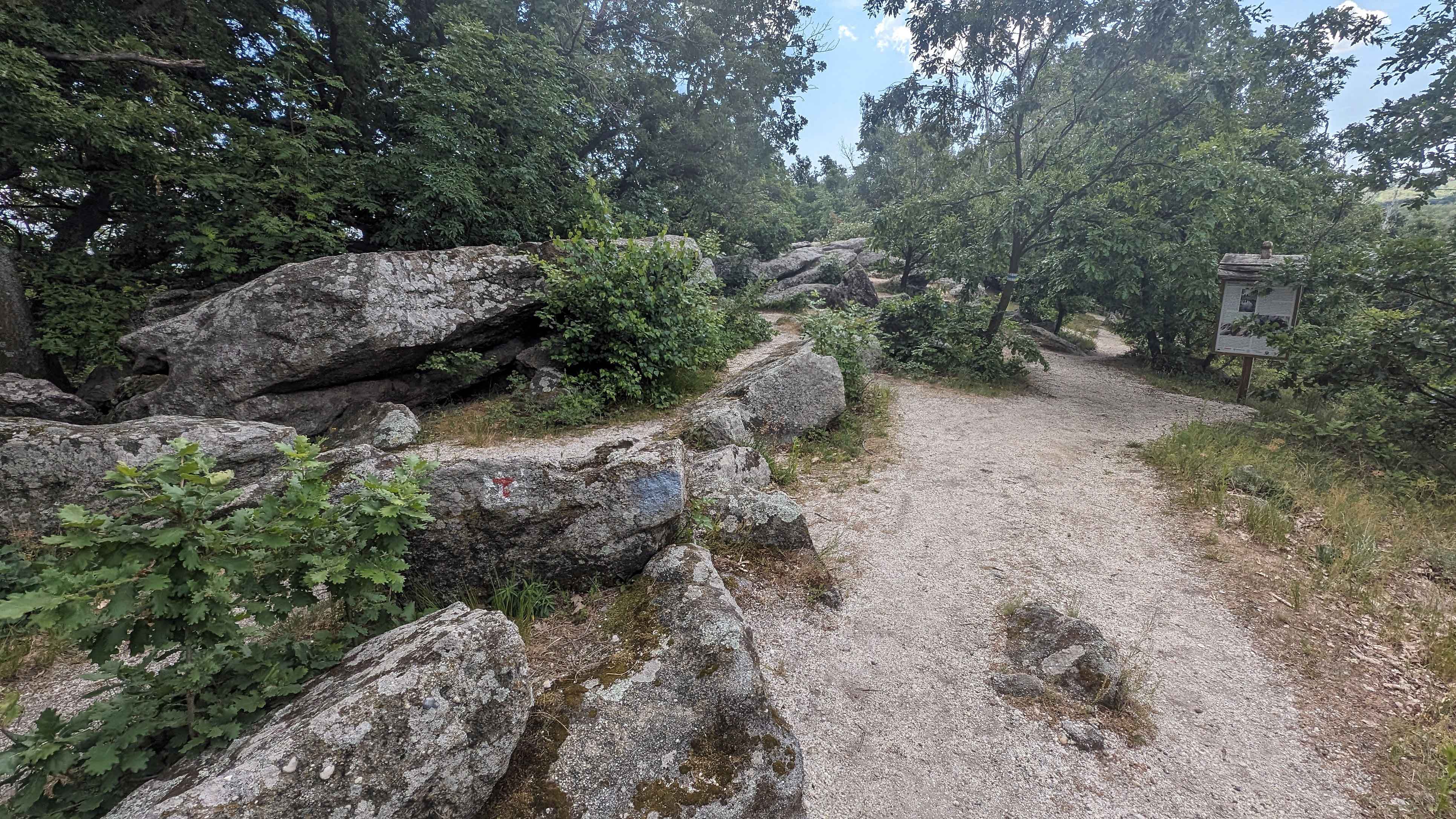
Heading towards the next butte, the trail traverses vineyards to the foot of Csobánc Hill, where it steeply ascends to the ruins of Csobánc Castle [Csobánc vára] at the summit. The plateau not only hosts these historic ruins but also offers breathtaking views over the Tapolcai-medence, with its familiar buttes, the Kál Basin [Káli-medence], and Lake Balaton. Beyond the castle, the trail winds through a diverse landscape, crossing patches of lush forests, vast pastures, cultivated fields, and rolling vineyards before reaching one of the most captivating stops: Sea of Stones [Kőtenger], the most famous geological formation in the Kál Basin. This remarkable expanse of weathered quartz sandstone rocks leads hikers to the charming village of Szentbékkálla, where they can explore local heritage and relax in tranquil surroundings.
The trail departs from the paved roads of the village and meanders through the vineyards of Öreg Hill [Öreg-hegy], then ascends through the woods of Fekete Hill [Fekete-hegy] to the Eötvös Károly Lookout Tower [Eötvös Károly kilátó]. From this vantage point, hikers can enjoy the last panoramic view over Lake Balaton before leaving the Balaton Uplands [Balaton-felvidék]. Continuing along the ridgeline, the trail soon winds past tiny ponds and peat moss bogs before descending through the valley of the Burnót Creek [Burnót-patak völgye] into the village of Balatonhenye.
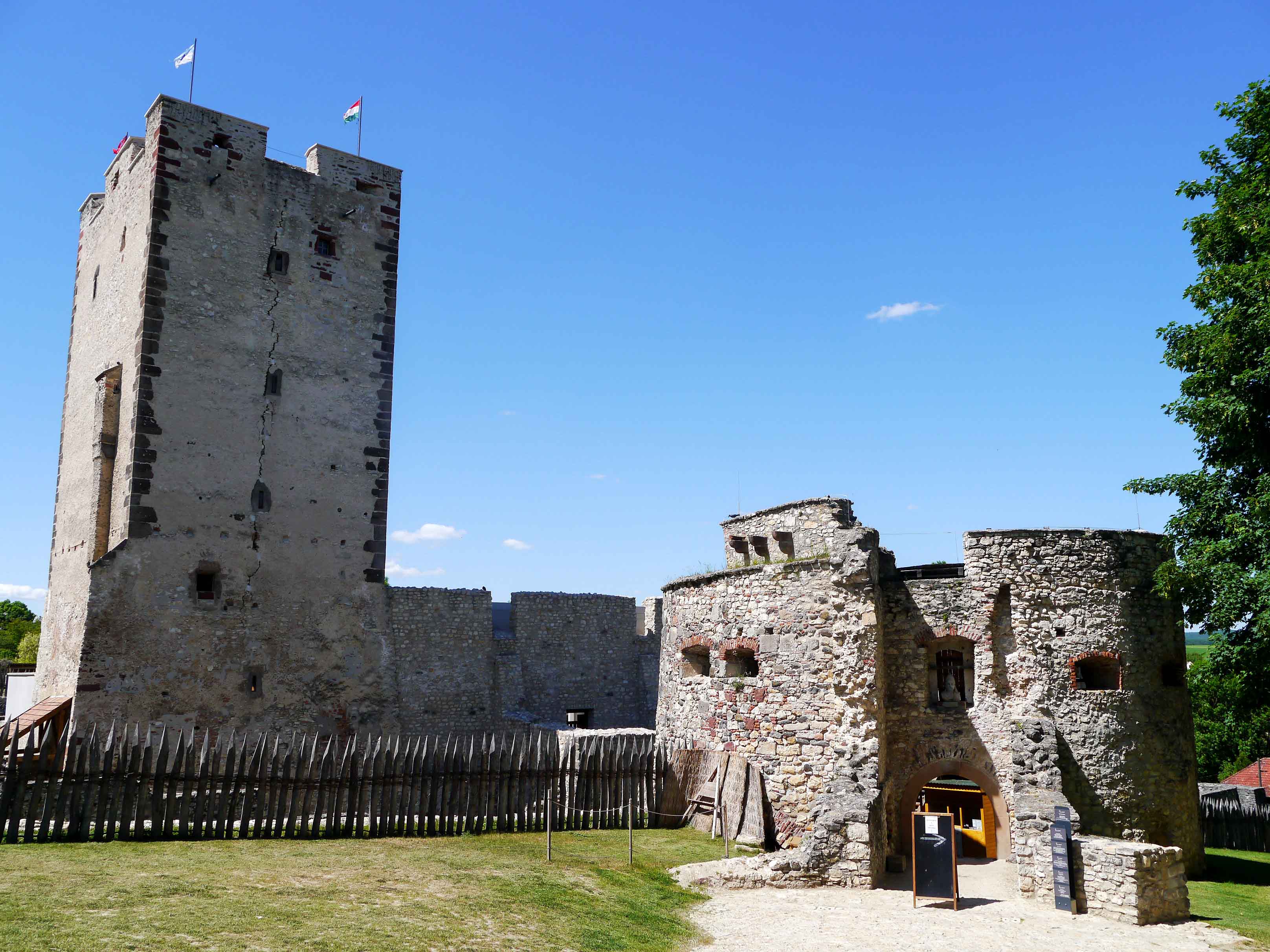
Past the village, the Mediterranean character of the Balaton Uplands gradually transitions into a densely forested landscape as the trail leads to Csicsó Forester’s Lodge [Csicsói erdészház]. Leaving the woods behind, the trail runs past the remnants of several monasteries, most notably the Szent Mihály Monastery [Szent Mihály-kolostor], established by the Paulin Order [pálosok], a monastic order of the Roman Catholic Church founded in Hungary during the 13th century. The final leg of this section leads to the village of Nagyvázsony, where hikers are greeted by the distinctive view of Kinizsi Castle [Kinizsi vár], originally built in the 15th century and extended over time. The most notable resident of the castle, and the person it was named after, is Pál Kinizsi (1432-1494), a renowned general of King Mátyás Hunyadi’s (reign: 1458-1490) famed Black Army [Fekete sereg]. Kinizsi is celebrated for his military prowess, particularly his victories over the Ottomans, and reputedly never lost a battle.
OKT-07 Nagyvázsony – Városlőd
This section of the trail meanders through the dense woods of the Bakony Mountains. After a moderate ascent to the highest peak of the range, Kab Hill [Kab-hegy[, the trail descends into a fascinating geological feature: the gorge of Úrkút Paleokarst [Úrkúti őskarszt].
| Start | End | Distance (km) | Ascent (m) | Descent (m) | Duration |
|---|---|---|---|---|---|
| NAGYVÁZSONY | VÁROSLŐD | 24.7 | 515 | 475 | 7:10 |
| Nagyvázsony | Kab-hegy | 9.6 | 375 | 95 | 3:00 |
| Kab-hegy | Úrkút | 5.6 | 20 | 150 | 1:30 |
| Úrkút | Városlőd | 9.5 | 120 | 230 | 2:40 |
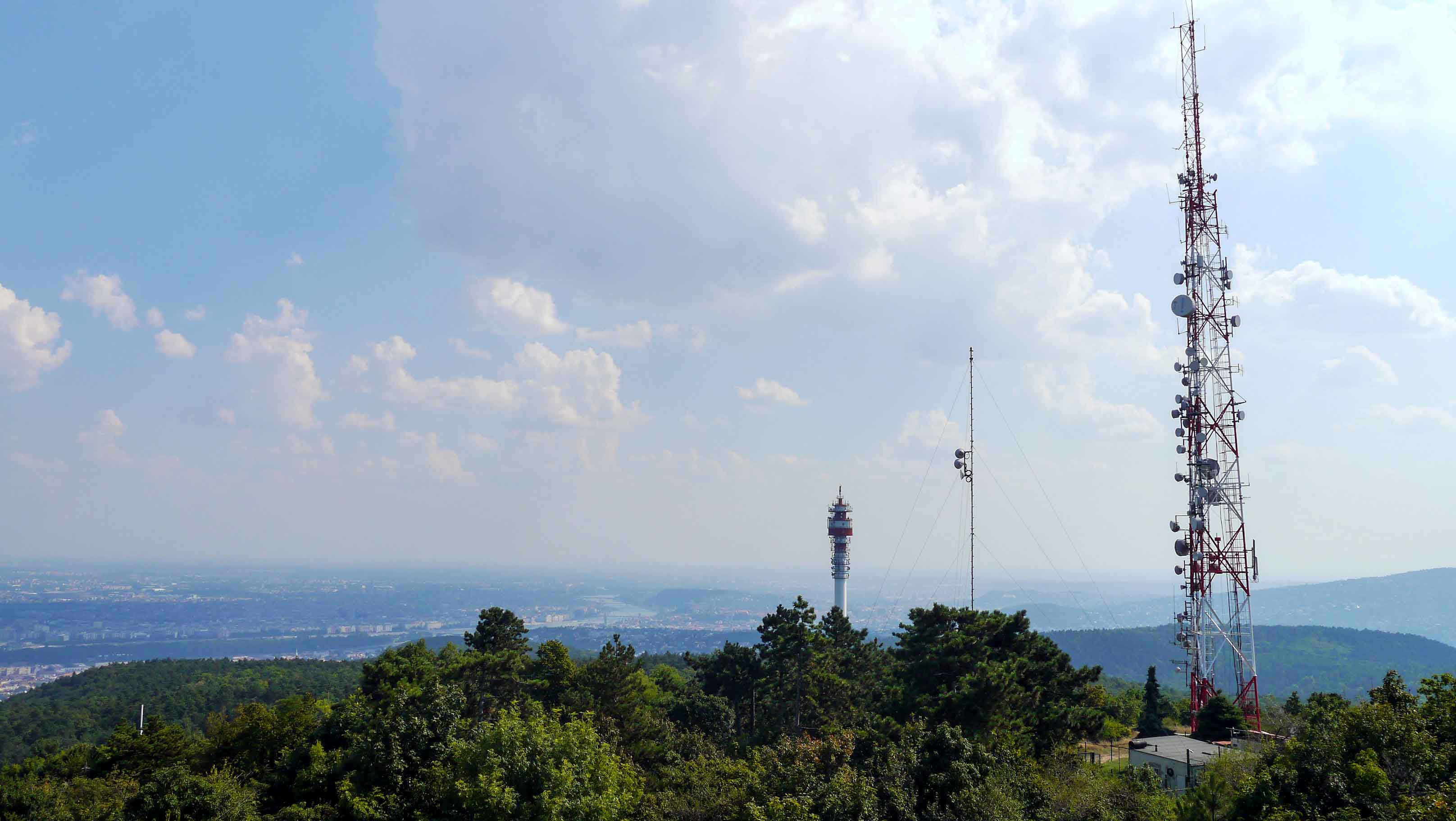
Starting from Nagyvázsony, the trail meanders through expansive cultivated fields, where the sights and sounds of rural life create a picturesque setting. The path gradually ascends through lush woodlands, leading to a brief but challenging climb up Kab Hill [Kab-hegy], the highest peak in the Bakony Mountains. Although the Bakony Mountains are the most extensive range in Hungary, they are characterized by gently rolling hills and mild slopes. At the peak, the lookout tower offers panoramic views of the surrounding landscape, providing hikers with a rewarding vista of the serene and expansive terrain.
After leaving the TV tower at Kab Hill, the trail begins its descent through tranquil forested areas. Emerging from the woods, the path traverses open fields before arriving at the village of Úrkút. On the outskirts of the village, the trail descends into the captivating Úrkút Paleokarst [Úrkúti őskarszt], a remarkable and ancient limestone gorge. This geological marvel, shaped over millennia, offers a glimpse into the region’s rich geological history. Continuing its descent, the trail winds through additional forested areas before eventually reaching the village of Városlőd.


OKT-08 Városlőd – Zirc
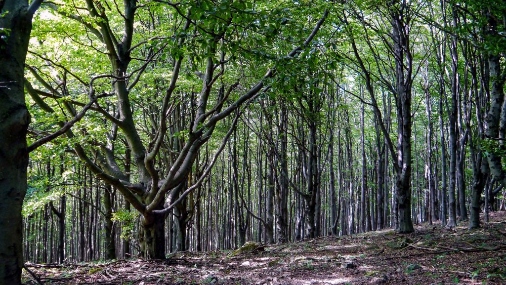
This section of the trail traverses the most mountainous part of the Bakony Mountains, featuring vast beech groves and sleepy villages. It also includes two historically significant monasteries: the Benedictine monastery in Bakonybél and Cistercian Abbey in Zirc.
| Start | End | Distance (km) | Ascent (m) | Descent (m) | Duration |
|---|---|---|---|---|---|
| VÁROSLŐD | ZIRC | 38.8 | 1045 | 965 | 11:30 |
| Városlőd | Németbánya | 10.2 | 180 | 150 | 2:50 |
| Németbánya | Bakonybél | 8.6 | 175 | 245 | 2:30 |
| Bakonybél | Kőris-hegy | 7.3 | 465 | 15 | 2:40 |
| Kőris-hegy | Borzavár | 7.5 | 85 | 390 | 2:00 |
| Borzavár | Zirc | 5.2 | 140 | 165 | 1:30 |
The trail starts at Városlőd, which still bears traces of its former inhabitants of Bavarian origin. leaving the village behind, the trail ascends along the Vámos Creek [Vámos patak], then descends along a creek to the village of Németbánya. Just touching the outskirts of the village, the trail continues to ascend through a lush beech grove on the slopes of Szállás tető, before descending towards the fields of Bakonybél.
In Bakonybél, hikers can visit the Szent Mauríciusz Monastery [Szent Mauríciusz monostor]. Belonging to the Benedictine order, the monastic community spends their days in the rhythm of prayer and work. Visitors can sample the fruits of their labor in the monastery’s shop, including medicinal herbs, teas, preserves, honey, chocolates, alcoholic drinks (beers, wines, liqueurs), natural cosmetics, bronze artifacts, and bookbinding workshop products. Astronomy enthusiasts will find the Pannon Observatory [Pannon csillagda] particularly interesting, with its powerful telescopes and engaging exhibits offering insights into the night sky.
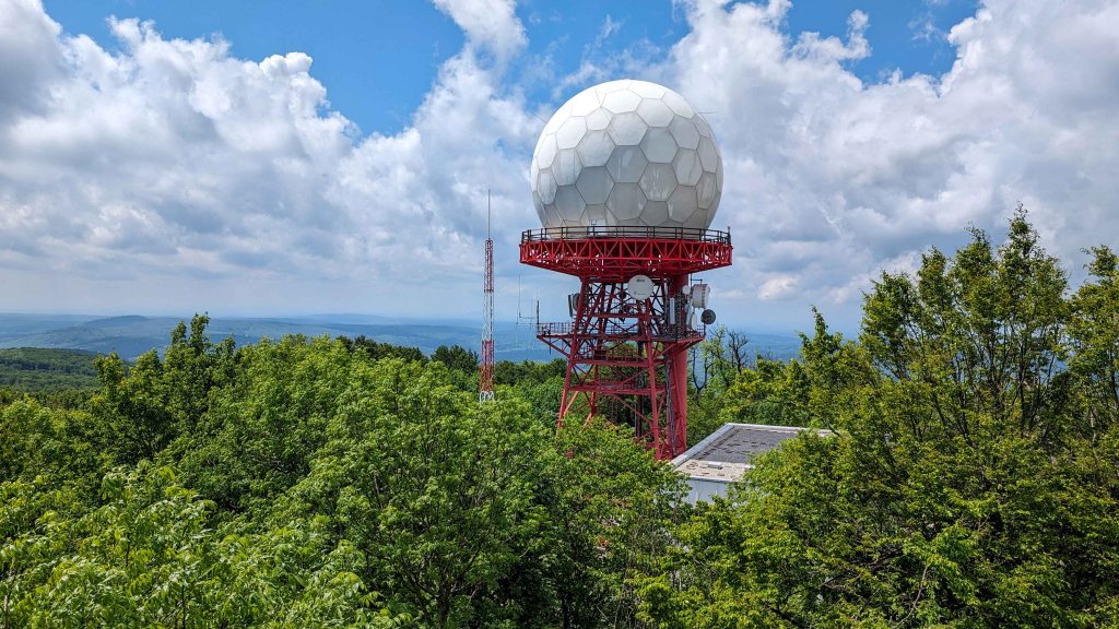
Continuing, the trail leaves the village along Száraz-Gerence Creek [Száraz-Gerence patak]. As its name suggests (‘száraz’ means dry in Hungarian), there is rarely any water in the creek. The trail soon departs from the paved road and continues along a steep path through verdant beech groves, following the historic Monks’ Path [Barátok útja] towards the peak of Kőris Hill [Kőris-hegy], the highest peak of Bakony. This path offers a serene and shaded hike beneath the canopy of towering beech trees. As hikers approach the summit of the hill, they are rewarded with a visit to the Vajda Péter Lookout Tower [Vajda Péter kilátó]. From this vantage point, the panoramic view of the surrounding rolling hills is partially obstructed by trees, yet still offers a captivating glimpse of the expansive landscape. An interesting feature of the plateau is the radar station, which adds a modern contrast to the natural beauty of the area.is the radar station, which adds a modern contrast to the natural beauty of the area.
Leaving the lookout tower behind, the trail continues to weave through the dense forest. At the bottom of the hill, the trail arrives at Szépalmapuszta, a picturesque area characterized by large pastures where graceful horses graze. The trail then meanders through a verdant meadow, eventually leading to the village of Borzavár. After leaving the village, the trail climbs the slope of Pintér Hill [Pintér-hegy], and the final stretch of the hike leads to Zirc, the highest town in Hungary. Known for its rich history and cultural significance, Zirc welcomes visitors with notable landmarks, including the Cistercian Abbey [Ciszterci Apátság] and the Arboretum, offering a blend of natural beauty and historical heritage.

OKT-09 Zirc – Bodajk
This section of the trail traverses the most diverse and karst-rich landscapes of the Bakony Mountains, featuring winding gorges carved deep into ancient limestone, expansive agricultural fields stretching to the horizon, dense forests teeming with wildlife, and charming villages steeped in rural tranquility. The journey culminates at the revered national pilgrimage site of Bodajk, offering a contemplative conclusion to this leg of the trail.
| Start | End | Distance (km) | Ascent (m) | Descent (m) | Duration |
|---|---|---|---|---|---|
| ZIRC | BODAJK | 58.6 | 1235 | 1465 | 16:50 |
| Zirc | Bakonynána | 10.2 | 130 | 205 | 2:50 |
| Bakonynána | Jásd | 6.2 | 100 | 175 | 1:40 |
| Jásd | Csőszpuszta | 4.1 | 240 | 35 | 1:20 |
| Csőszpuszta | Kisgyón | 6.7 | 65 | 285 | 1:50 |
| Kisgyón | Bakonykúti | 11.7 | 220 | 240 | 3:20 |
| Bakonykúti | Fehérvárcsurgó | 10.2 | 235 | 280 | 3:00 |
| Fehérvárcsurgó | Bodajk | 9.5 | 245 | 245 | 2:50 |
Beginning in Zirc, the trail follows paved roads to the village of Nagyesztergár. Beyond the village, it transitions into a more natural environment, continuing for approximately 15 kilometers along the valley of the Gaja Stream [Gaja-patak]. Depending on the terrain, the path either closely follows the stream’s meandering course or runs at a slight distance. The Gaja Stream, the most significant watercourse in the eastern Bakony, maintains a relatively high flow year-round. In medieval times, its waters fed the vast marshlands surrounding Székesfehérvár, which acted as a natural moat and helped protect the city during invasions. Along the way, the trail passes the haunting remains of Veimpuszta, an abandoned medieval settlement. Once a thriving village, it flourished for over five centuries before falling victim to forced demolition by the communist regime in the 1960s. Continuing deeper into the valley, the trail gradually ascends toward the outskirts of the village of Bakonynána.
Beyond the village, the Gaja Stream flows into a dramatic gorge carved through grooved limestone formations, known as the Roman Bath [Római-fürdő] – a name that reflects the site’s timeless, sculptural beauty. The stream slows here, pooling into still basins before cascading over rocky ledges. Descending further over moss-slicked stones, hikers are rewarded with a striking overhead view of the Gaja Stream’s thunderous, multi-tiered waterfall echoing through the gorge. A short detour leads to the site from the opposite end via the Vadalmás Spring [Vadalmás forrás], where a forest path allows further exploration of this natural marvel. Both vantage points offer unique perspectives, each equally breathtaking. As the dramatic cliffs recede, the valley softens. The trail winds through open clearings and gentle woodlands, offering a final farewell to the stream as it crosses a broad meadow. Further down the trail, nestled beneath the canopy of trees, lies the chapel of Holy Well [Szentkút] – a serene, sacred site believed to possess healing powers. The quiet reverence of the place invites reflection and rest. From here, the trail makes its final approach to the village of Jásd.
Beyond the village, the trail gradually ascends to the Tés Plateau [Tési fennsík]. Along the way, a short detour from the main trail leads to the Széchenyi Zsigmond Lookout Tower [Széchenyi Zsigmond-kilátó], which offers panoramic views of the surrounding hills and forests. The trail then reaches the village of Tés, perched high above the surrounding landscape. Thanks to its elevation, the plateau is exposed to strong, steady winds, which were once harnessed to power windmills that supported the local grain-processing industry. Two of these historic windmills have been preserved on the outskirts of the village. Visitors can also explore a traditional blacksmith’s workshop, adding to the village’s rustic charm and historical character. Continuing along the road, the trail arrives at Csőszpuszta. At first glance, the peaceful farmland gives little indication of the geological marvel hidden below: an extensive karst system, riddled with sinkholes, shafts, and cave openings. This vast subterranean network is studied by the Alba Regia Cave Exploration Group [Alba Regia Barlangkutató Központ], which has established its research base here in Csőszpuszta.
Leaving the plateau behind, the trail descends gently into wooded slopes leading to the Ash House [Hamuház], a historic site once vital to pre-industrial glassmaking. Here, potash – a key ingredient in traditional glass production – was derived from wood ash gathered from surrounding beech forests. From the Ash House, the trail continues through the serene, shaded Tűzköves Valley [Tűzköves-völgy], where the region’s natural and cultural heritage converge. Hikers can admire the imprint of an ammonite fossil in the rock – a silent testament to the area’s ancient geological past. Further along, a quiet forest shrine provides a place for contemplation, while a nearby miners’ memorial honors those who once labored beneath the surface. The trail then gently opens onto the clearing of Kisgyón.
Continuing its course, the trail ascends across gently rolling terrain. As it emerges from the forest, it traverses a vast, open field, offering sweeping views of the surrounding hills, then follows the rim of the Burok Valley [Burok-völgy]. Steep valley walls, draped in pine and mixed woodland, plunge dramatically into the ravine below. The Blue Trail once passed through this secluded valley, and even today, a few faded waymarks hint at its former route. Due to the valley’s ecological significance, it is now protected, prompting a rerouting of the official trail. While no longer part of the main path, the valley floor remains accessible via the red trail for those wishing to experience its untouched wilderness. Its rugged terrain and dense vegetation lend the area a profound sense of remoteness. Eventually, the main trail exits the forest and enters the peaceful village of Bakonykúti.
After leaving the village, the trail climbs to a plateau that overlooks the surrounding countryside, then winds through shadowy forests and charming meadows. It continues along the slopes of Vontató Hill [Vontató-hegy] before reaching the shores of the Fehérvárcsurgó Reservoir [Fehérvárcsurgói-víztároló], a tranquil artificial lake created in the 1970s. From here, the trail follows a narrow, railing-lined path that clings to the slope between the rocky hillside and the water’s edge, offering stunning views of the shimmering lake and the wooded ridges rising in the distance. The trail then enters the village of Fehérvárcsurgó. Hikers may visit the wine cellars of the Öreghegy Slope [Öreghegy dűlő] or stay overnight at the 19th-century Károlyi Castle [Károlyi-kastély] – once the residence of a prominent aristocratic family, now operating as an upscale hotel.
Following a gentle ascent, the trail descends once again into the valley of the Gaja Stream [Gaja-patak]. This final stretch is rich in variety: in its broader lower section, hikers encounter early Iron Age burial mounds, a tranquil artificial lake, and several shaded picnic spots. As the trail moves upstream, the valley narrows significantly. Towering rock walls rise dramatically on either side, some hiding caves high above, while the stream tumbles over scattered boulders below. The trail crosses the Gaja Stream multiple times before making a steep ascent out of the gorge. Before continuing, a short detour to the Károlyi Lookout Tower [Károlyi-kilátó] is highly recommended. A steel terrace juts out from the hillside, offering a sweeping view back into the gorge – an excellent spot for photos or one last glimpse of the rugged landscape. From there, the trail winds through the forest before descending into the town of Bodajk, a historic pilgrimage site. At its spiritual heart lies the Sanctuary of Mary [Mária-kegyhely], a revered Marian shrine that has attracted worshippers for centuries. Among the town’s architectural highlights is the 19th-century Miske Hunting Castle [Miske-vadászkastély], a stately manor reflecting the area’s aristocratic heritage.
OKT-10 Bodajk – Szárliget
This section of the trail winds through the Vértes Mountains, offering wildlife-rich woodlands, steep-sided valleys, and breathtaking panoramic lookout points. The journey reveals not only the region’s lush natural beauty but also its rich history, reflected in medieval castles, historic settlements, mining heritage, and cultural monuments.
| Start | End | Distance (km) | Ascent (m) | Descent (m) | Duration |
|---|---|---|---|---|---|
| BODAJK | SZÁRLIGET | 56.2 | 1370 | 1290 | 16:20 |
| Bodajk | Csókakő | 8.5 | 180 | 40 | 2:30 |
| Csókakő | Gánt | 14.2 | 265 | 340 | 4:00 |
| Gánt | Mindszentpuszta | 5.7 | 185 | 70 | 1:40 |
| Mindszentpuszta | Kőhányás | 7.4 | 195 | 205 | 2:10 |
| Kőhányás | Várgesztes | 4.9 | 95 | 140 | 1:20 |
| Várgesztes | Szárliget | 15.5 | 450 | 495 | 4:40 |
Once the urban area of Bodajk is left behind, the trail passes through gently rolling farmland to reach the village of Söréd. From here, it continues beneath rows of vineyards, gradually ascending toward the hillside village of Csókakő. Before entering the village, hikers can catch site of Csókakő Castle [Csókakő vára], perched atop sheer dolomite cliffs. From this dramatic vantage point, the castle offers sweeping views of the surrounding Vértes mountain range. This medieval stronghold, strategically positioned above a historic trade route running through the valley, served as a key outpost in Hungary’s frontier defense system during the Ottoman era.
At the base of the hill lies Greater Hungary Square [Nagy-Magyarország tér], a commemorative space that places Csókakő within the broader narrative of Hungarian national identity. Here, visitors encounter statues of influential historical figures who helped shape the nation’s history, alongside symbolic monuments such as the Guardian of the Carpathians [Kárpátok őre] and the Trianon Memorial [Trianon-emlékmű] – a solemn tribute to one of the most traumatic episodes in Hungary’s modern era. The memorial commemorates the Treaty of Trianon, signed in 1920 at the end of World War I, which imposed unprecedentedly severe terms on Hungary. As a result, the country lost more than two-thirds of its territory, half of its population, most of its natural resources, and a significant number of its cultural and educational institutions. The treaty fragmented communities, severed historical regions, and left deep emotional and political scars that are still felt today. Monuments like this are not merely markers of historical loss; they serve as expressions of resilience and unity, reflecting the enduring spirit of a nation still coming to terms with the far-reaching consequences of the treaty.
The trail circles the castle and then continues through the Vár Valley [Vár-völgy] as it ascends toward the Vértes Plateau [Vértes-fennsík]. After a leisurely forest walk across the gently undulating terrain, the trail reaches the Géza Resting Area [Géza-pihenő], one of the region’s few scenic overlooks. From this vantage point, the landscape opens dramatically: the valley drops steeply below, and a forested ridge stretches out across the horizon, offering a striking contrast of elevation and terrain. From the overlook, the path descends into a valley and passes beside the Gánt Cave [Gánti-barlang], one of Hungary’s specially protected caves. The cave gained its status due to significant archaeological discoveries found within – evidence of early human activity that adds a layer of historical depth to the natural setting. Soon after, the trail enters the village of Gánt, a settlement historically shaped by its extensive bauxite mining industry. The reddish open-pit mines bear witness to a once-booming industrial era, when Gánt was home to one of Europe’s largest bauxite operations. Today, the mines stand silent, their raw and rugged formations lending the landscape a surreal beauty. Above the village, bare rock outcrops offer panoramic views of the Vértes Mountains and the surrounding countryside, while the abandoned mining sites scattered across the hillsides invite exploration. At the Jenő Balás Bauxite Mining Museum [Balás Jenő Bauxitbányászati Múzeum], visitors can delve into the geological and industrial history of the region through interactive exhibits, outdoor displays, and educational trails that reveal the processes and people behind Gánt’s rich mining legacy.
Leaving Gánt behind, the trail enters the gently sloping Pap Valley [Pap-völgy], where open meadows gradually give way to shaded woodland paths. Midway along the valley lies Mindszentpuszta, a quiet settlement that once bustled with agricultural life but now feels almost forgotten, blending seamlessly into the landscape. From here, the trail descends toward the tranquil Ciklámen Valley [Ciklámen-völgy], where in spring and early summer the forest floor is often carpeted with wildflowers. From here, the trail meanders through cool beech forests before reaching the rocky outcrop of Oroszlánkő and the weathered remains of Csák Castle [Csáki-vár]. Overgrown and barely discernible, the ruins evoke memories of centuries past, when noble families fortified these hills against rivals and invaders. Continuing through dense woodland, the trail eventually arrives at Kőhányás. Here, along the old road that once connected two estates of the influential Esterházy family, stands a modest yet elegant chapel dedicated to St. Theresa of Ávila. The trail then follows the picturesque, narrow Német Valley [Német-völgy], winding past moss-covered rocks and shaded glades before climbing steadily onto a small plateau. A short detour from the main path leads to the ruins of Gesztes Castle [Gesztesi vár], perched dramatically on a rocky outcrop. From the castle heights, the trail descends toward the village of Várgesztes, where the red rooftops and church tower appear against the backdrop of the surrounding hills.
At the edge of the village, the trail skirts a tranquil fishing pond before climbing steeply through dense woodland toward Zsigmond-kő Lookout Point [Zsigmond-kő kilátóhely]. This rugged outcrop, accessible by a short detour from the main path, rewards hikers with sweeping views over Várgesztes and the rolling landscape beyond. From here, the trail continues through shady beech woods, passing the picnic area at Mátyás Well [Mátyás-kút] and the cozy Szarvaskút Bivouac Hut [Szarvaskúti bivakkunyhó]. A little further along, one tree bears a carved portrait of Rockenbauer Pál, one of the pioneers of Hungarian nature filmmaking. His documentaries about the Blue Trail introduced generations of viewers to the beauty of the country’s landscapes, and the carving stands as a quiet tribute to his legacy. The path then narrows into a rocky stretch, gradually climbing toward the ruins of the 14th-century Vitány Castle [Vitány-vár]. A short detour leads to the fortress remains, perched dramatically on a crag. Though now reduced to weathered stone walls and scattered foundations, the site retains an air of medieval strength, its vantage point once guarding the routes through the Vértes. From the castle, the trail descends into a secluded valley, winding toward the forest cemetery of Körtvélyespuszta. Beyond this point, the trail continues along the dry ravine of Mária Gorge [Mária-szurdok], where sheer rock walls rise on either side, forming a striking natural corridor. Emerging from the gorge, the trail gradually eases onto open terrain, leading to the village of Csákányospuszta. The final stretch passes through gentle countryside before arriving at the town of Szárliget, marking the end of this section of the journey.

OKT-11 Szárliget – Dorog
This section of the trail showcases the remarkable diversity of the Gerecse Mountains, leading hikers through rugged forests, historic sites, dramatic limestone formations, rocky viewpoints, and places of deep cultural and spiritual significance.
| Start | End | Distance (km) | Ascent (m) | Descent (m) | Duration |
|---|---|---|---|---|---|
| SZÁRLIGET | DOROG | 69.2 | 2175 | 2285 | 20:50 |
| Szárliget | Somlyóvár | 13.1 | 385 | 225 | 3:50 |
| Somlyóvár | Koldusszállás | 7.9 | 130 | 320 | 2:10 |
| Koldusszállás | Bánya-hegyi erdészház | 11.5 | 360 | 130 | 3:30 |
| Bánya-hegyi erdészház | Gerecse üdülő | 4.3 | 130 | 80 | 1:20 |
| Gerecse üdülő | Pusztamarót | 2.5 | 10 | 155 | 0:40 |
| Pusztamarót | Péliföldszentkereszt | 8.2 | 225 | 405 | 2:20 |
| Péliföldszentkereszt | Mogyorósbánya | 5.4 | 205 | 210 | 1:40 |
| Mogyorósbánya | Tokodi pincék | 2.7 | 125 | 155 | 0:50 |
| Tokodi pincék | Tokod | 3.4 | 175 | 180 | 1:10 |
| Tokod | Nagy-Gete | 2.8 | 335 | 10 | 1:20 |
| Nagy-Gete | Dorog | 7.4 | 95 | 415 | 2:00 |
The journey through the Gerecse region begins in Szárliget, from where the trail leads through the village of Nagyegyháza and past its tranquil fishponds. Crossing vast open fields and sunlit woodlands, the trail gradually ascends to the Somlyóvár Hikers’ Lodge. A brief detour to Somlyó Summit [Somlyó-tető] rewards hikers with sweeping panoramic views stretching across the Vértes and Börzsöny Mountains. Leaving the summit behind, the trail descends toward the village of Tornyópuszta before continuing through peaceful forests to the hunting lodge at Koldusszállás.
From the hunting lodge, the trail circles Pes-kő and traverses some of the most rugged and unspoiled landscapes of the Gerecse. Winding through lush beech forests, the trail passes a Cold War-era Soviet bunker, a reminder of the region’s more recent history. It then skirts the moss-covered limestone talus slopes of Pörös Mountain [Pörös-hegy] before continuing through dense woodland toward the vast red marble quarry of Tardos. Despite its popular designation as marble, the rock is in fact limestone, as the geological processes of heat and pressure required to transform limestone into true marble were never fully completed. The trail eventually reaches the Bánya-hegyi Forester’s Lodge [Bánya-hegyierdészház], while a short detour provides access to the renowned Tardosbány rock-climbing area.
Continuing onward, the trail circles the base of Nagy-Gerecse Mountain through a diverse forest landscape punctuated by rocky outcrops and striking natural formations. It then arrives at the Gerecse Resort [Gerecse üdülő], formerly known as Serédi Castle [Serédi-kastély]. Beyond the resort, the trail continues through forested terrain to Pusztamarót, a quiet clearing whose historical significance far exceeds its peaceful appearance. Following the Battle of Mohács in 1526, retreating Hungarian forces sought refuge here, only to be overwhelmed and destroyed by advancing Ottoman troops.
From Pusztamarót, a long ascent leads to the village of Péliföldszentkereszt. The village is home to a tranquil monastery operated by the Salesian Order, which has long served as a spiritual and pilgrimage center in the Gerecse region. Nestled in a forested valley, the area offers a serene atmosphere ideal for reflection and retreat. Scattered throughout the woods are several sacred landmarks that attract both pilgrims and hikers, including a Calvary, a Via Lucis [Way of Light], a replica of the Lourdes Grotto, and a Holy Well [Szentkút] – all of which contribute to the site’s deeply contemplative ambiance.
From the monastery, the trail begins a steady ascent beneath the imposing limestone cliffs of Öreg-kő. This towering rock formation dominates the landscape, and a short detour from the nearby rest area to the summit is well worth the effort, as breathtaking panoramic views open up across the rolling peaks of the Gerecse Mountains. The cliffs also conceal several caves, the most notable of which is Jankovich Cave [Jankovich-barlang]. This large and geologically fascinating cave holds both natural and archaeological significance. Once inhabited by Neanderthals, it is now a protected habitat for a large and diverse bat colony. After exploring this dramatic landscape, the trail begins a gentle descent through mixed woodland and soon reaches a clearing that offers the first glimpse of the Danube [Duna]. Continuing along cultivated fields, the trail eventually leads to the peaceful village of Mogyorósbánya.
Leaving the village, the trail climbs steadily along the slope of Kő Hill [Kő-hegy]. At the top, Kőszikla – a series of flat-topped limestone ledges – offers spectacular views of the eastern ridges of the Gerecse Mountains, including Hegyes-kő and Nagy-Gete, both of which lie ahead along the route. Beyond them, the steep slopes of the Pilis Mountains rise in the distance, while to the north the massive Börzsöny Mountains [Börzsönyi-hegység] stretch across the horizon. As these larger and more imposing ranges gradually come into view, the unfolding landscape promises ever more dramatic scenery along the way. After soaking in the views, the trail descends and winds through the Tokod Wine Cellars [Tokodi pincék], a charming hillside area where rows of traditional wine cellars are nestled into the slopes. From here, the trail begins another ascent – this time to the rocky summit of Hegyes-kő. Although the climb is relatively short, it is steep and demanding. Upon reaching a grassy ridge, hikers are rewarded with striking views of the surrounding landscape. While the main trail skirts the base of the summit, a short detour is highly recommended: the bare limestone peak of Hegyes-kő reveals a 360-degree panorama – the rolling hills of the Gerecse Mountains on one side, and the distant silhouettes of the Börzsöny Mountains and the glinting ribbon of the Danube on the other. From the summit, the trail descends toward the village of Tokod.
Beyond the village, a steep, gravel-strewn path winds its way up Nagy-Gete, one of the defining peaks of the region. At the summit, a solitary wooden cross marks the highest point. From a nearby clearing, hikers can enjoy sweeping views of the surrounding ridges, which appear as modest, rocky hills compared to the commanding height of Nagy-Gete. A little further down the slope, the Kis-kereszt Lookout Point [Kis-kereszt kilátóhely] offers another scenic vantage point over the landscape. From here, the trail continues through a long stretch of gently undulating terrain, weaving between carefully managed woodlands and sunlit clearings before finally arriving in the town of Dorog. As the trail nears the town, it passes through the Calvary, a hilltop site of devotion often visited during local religious observances. At the summit of this symbolic ascent stands the Mining Tower [Aknatorony], a former mining service tower relocated here in 1981. Today, it serves as a monument to Dorog’s industrial heritage and to the generations of miners who once labored beneath the surrounding hills.

OKT-12 Dorog – Piliscsaba
This section of the trail meanders around the foot of the Pilis Mountains, offering hikers a charming combination of scenic forest walks and cultural exploration.
| Start | End | Distance (km) | Ascent (m) | Descent (m) | Duration |
|---|---|---|---|---|---|
| DOROG | PILISCSABA | 18.6 | 530 | 420 | 5:30 |
| Dorog | Klastrompuszta | 10.6 | 365 | 180 | 3:10 |
| Klastrompuszta | Piliscsaba | 8.0 | 165 | 240 | 2:20 |
Once the town of Dorog is left behind, hikers can enjoy a walk through a grove that leads to the village of Kesztölc. From there, the trail continues uphill through cultivated fields and patches of forest, eventually arriving at a large meadow at the foot of Kétágú Hill [Kétágú-hegy]. This location offers stunning views of the mountain peaks towering above as well as the villages laying below.
After passing through open spaces, the trail continues through forests until it reaches the small settlement of Klastrompuszta. This village serves as a good hub for exploring the nearby rock formations and caves. Additionally, Klastrompuszta features the ruins of the first monastery of the Paulin Order [pálosok], a monastic order of the Roman Catholic Church founded in Hungary during the 13th century.
After passing through the forest, the trail descends among weedy fields and leads to the village of Piliscsév. Beyond the village, the trail continues across forests and clear cuts until it arrives at the town of Piliscsaba.


OKT-13 Piliscsaba – Hűvösvölgy
This section of the trail, which departs from the border of the Pilis Mountains and winds through the Buda Hills [Budai-hegyek], is renowned for its diverse geological and botanical features. The trail ultimately leads to the outskirts of Budapest, offering a blend of urban and natural landscapes. Along the route, hikers pass by the revered pilgrimage site of Máriaremete, known for its historical and spiritual significance.
| Start | End | Distance (km) | Ascent (m) | Descent (m) | Duration |
|---|---|---|---|---|---|
| PILISCSABA | HŰVÖSVÖLGY | 22.3 | 580 | 585 | 6:30 |
| Piliscsaba | Zsíros-hegy | 12.5 | 435 | 270 | 3:50 |
| Zsíros-hegy | Hűvösvölgy | 9.8 | 145 | 315 | 2:40 |
In the town of Piliscsaba, hikers have the opportunity to visit the grave of József Horvát, the first person to complete the Blue Trail in 1952. Additionally, visitors can make a small detour and explore the Calvary of the settlement and some interesting rock-formations. After leaving Piliscsaba, the trail continues through the forest, descends through the Kőris Valley Kőris Valley [Kőris Valley], ascends through the Bükkös Trench [Bükkös-árok], and finally arrives at the plateau of the Nagy-szénás Hill [Nagy-szénás hegy]. This always-windy peak is particularly unique as it provides a 360-degree panorama of the surrounding mountains.
After departing from the rocky mountain peak, the trail continues through the forest and descend briefly before arriving at the outskirts of the town of Nagykovácsi. Along the way, the trail passes by the steel columns of an old miner cableway used for transporting sand, located on the mountainside of Zsíros Hill [Zsíros-hegy]. Continuing through the forest, the trail climbs up to Remete Hill [Remete-hegy] and then descends steeply into the twilight of Remete Ravine [Remete-szurdok].
After the ravine, the trail reaches the outskirts of Budapest. Winding through the streets, the trail passes by the Virgin Mary Church [Kisboldogasszony templom] of Máriaremete. The church is a popular pilgrimage site for the residents of the capital. The final stretch of this section continues through the urban area of the capital, then crosses the Nagy Meadow [Nagyrét], and finally reaches the terminus of the Children’s Railway [Gyermekvasút] in Hűvösvölgy.

OKT-14 Hűvösvölgy – Rozália téglagyár
This section of the trail offers a scenic hike through the Buda Hills [Budai-hegyek], providing stunning vistas of the surrounding mountains, the capital city of Budapest, and the Danube River.
| Start | End | Distance (km) | Ascent (m) | Descent (m) | Duration |
|---|---|---|---|---|---|
| HŰVÖSVÖLGY | ROZÁLIA TÉGLAGYÁR | 14.1 | 525 | 625 | 4:20 |
| Hűvösvölgy | Hármashatár-hegy | 8.0 | 420 | 165 | 2:40 |
| Hármashatár-hegy | Virágos-nyereg | 1.7 | 50 | 170 | 0:30 |
| Virágos-nyereg | Rozália téglagyár | 4.4 | 55 | 290 | 1:10 |
Once the urban area of Hűvösvölgy is left behind, the trail continues in the forest. This area was once King Mátyás’ medieval wildlife garden, stocked with red deer, roe deer, fallow deer, and wild boar to satisfy the king’s passion for hunting. The site also holds historical significance as the direction of the attempted breakout from the encircled capital during the siege of Budapest in February 1945, as commemorated by a war grave. Further into the forest, hikers can find a stone lion guarding the trail. Unfortunately, the lion’s head was blown off during the Second World War for military purposes.
Winding through the forest, the trail eventually leads to the Árpád Lookout Tower [Árpád kilátó]. Constructed in 1929, this terrace offers splendid views of both sides of Budapest, divided by the meandering Danube. After a brief stroll along the suburban gardens of Szépvölgy, a forest path climbs to Hármashatár Mountain [Hármashatár-hegy], whose summit is easily recognizable by its broadcasting and telecommunication towers. At the top stands the Guckler Károly Lookout Tower [Guckler Károly-kilátó], which rewards hikers with a sweeping panorama over the capital.
The trail winds gradually down from the summit, through the forest of Vihar Mountain [Vihar-hegy], the grassy meadow of Virágos Col [Virágos-nyereg], the forest of Csúcs Mountain [Csúcs-hegy], before finally reaching the gate of the Rozália Brick Factory [Rozália téglagyár].
OKT-15 Rozália téglagyár – Dobogókő
This section of the trail returns to the Pilis Mountains [Pilis hegység] and continues through the Visegrád Mountains [Visegrádi-hegység], offering hikers scenic forest walks with shadowy limestone gorges and striking rock formations. After a challenging climb, the trail culminates at Dobogókő, where stunning views of the Danube Bend [Dunakanyar] await.
| Start | End | Distance (km) | Ascent (m) | Descent (m) | Duration |
|---|---|---|---|---|---|
| ROZÁLIA TÉGLAGYÁR | DOBOGÓKŐ | 22.8 | 1060 | 490 | 7:30 |
| Rozália téglagyár | Kevély-nyereg | 6.7 | 405 | 105 | 2:20 |
| Kevély-nyereg | Pilisszentkereszt | 11.9 | 285 | 370 | 3:30 |
| Pilisszentkereszt | Dobogókő | 4.2 | 370 | 15 | 1:40 |
After leaving the Rozália Brick Factory [Rozália téglagyár], the trail climbs through the forest and arrives at the village of Pilisborosjenő. In the village, hikers can visit the Calvary of the settlement, climb the Camel Rock [Teve-szikla], or explore the replica of the Eger Castle [Egri-vár], built as a scenery for the film Egri Csillagok [Stars of Eger – Title of the English version: Eclipse of the Crescent Moon] in the 1960s.
The trail continues around the foot of the Nagy-Kevély Mountain [Nagy-Kevély-hegy], goes through the grassy meadow of Kevély Col [Kevély-nyereg], and passes near the village of Csobánka. Later, the trail enters the forest, leaving the fields of the col behind. After a steep descend, it arrives at the small chapel of Holy Well [Szentkút], which was built in 1930. The water from the spring is believed to have healing powers and the place has been honored as a place of worship since 1842, when a shepherd grazing a flock had a vision of the Virgin and Child here.
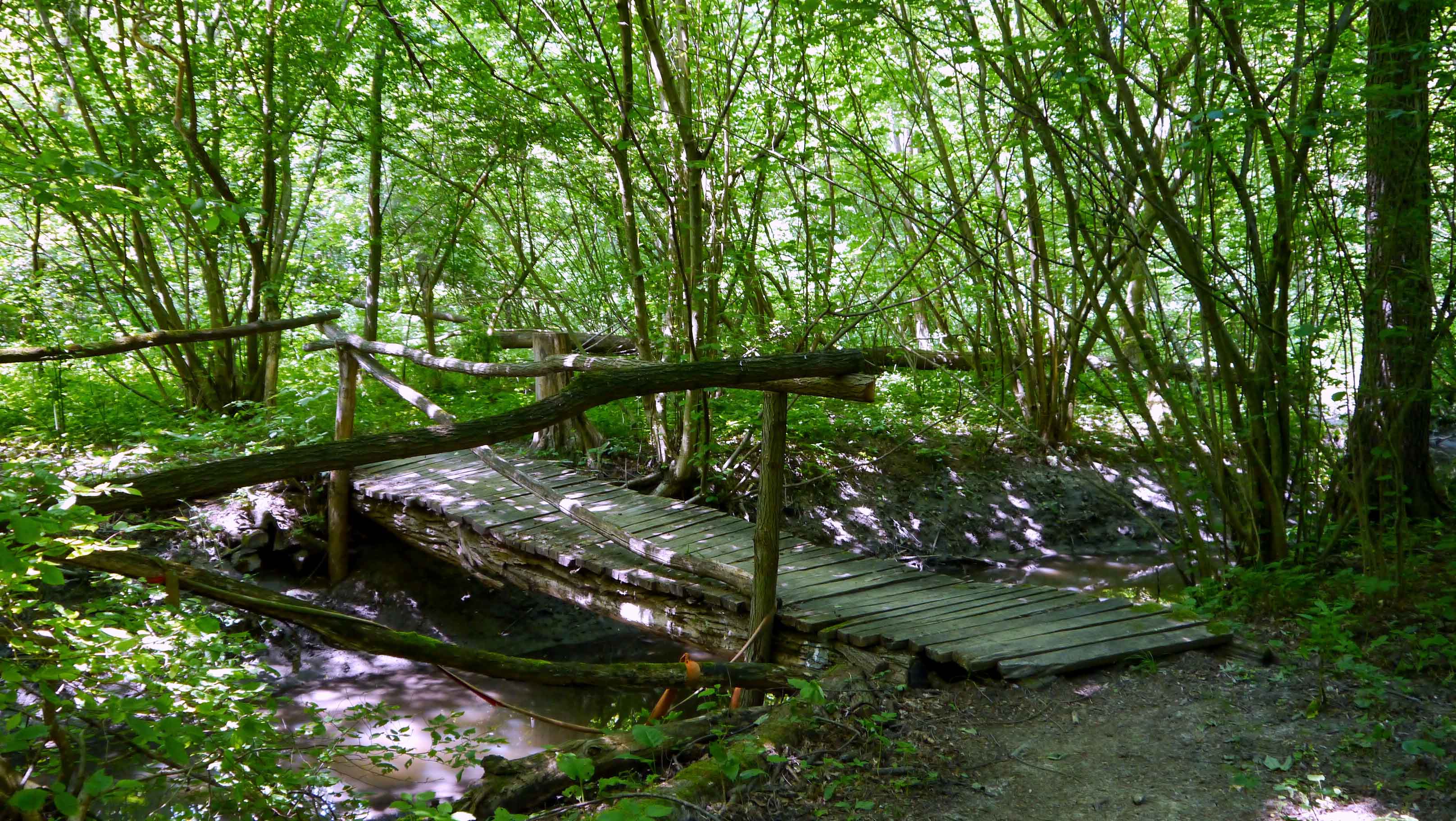
The trail continues through the forests of Hosszú Mountain [Hosszú-hegy] after leaving the chapel behind and leads to the lower end of the Dera Gorge [Dera-szurdok]. This narrow valley is cut into a limestone hill and is one of the most famous natural wonders of the Pilis Mountains [Pilis hegység]. The footpath meanders between the two sides of the gorge, showcasing moss-covered rocks, beech trees with artistically twisted exposed roots, and rustic wooden bridges spanning over the creek.
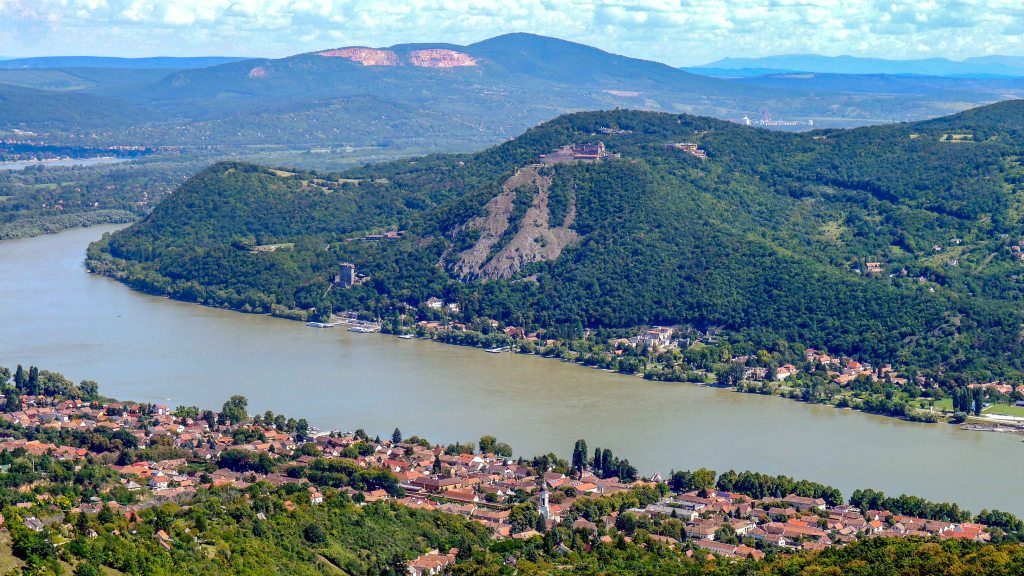
At the upper end of the gorge, the trail leads to the village of Pilisszentkereszt where it leaves the Pilis Mountains and enters the Visegrád Mountains [Visegrádi-hegység], a truly mountainous environment. The trail then continues through the forests of Kakas Mountain [Kakas-hegy], passes by the volcanic rocks of Bandit Rocks [Zsivány-sziklák], and finally, after a hard climb reaches the flat-topped volcanic Dobogókő, which offers stunning views over the Danube Bend [Dunakanyar].

OKT-16 Dobogókő – Visegrád
This section of the trail meanders through the verdant forests of the Visegrád Mountains [Visegrádi-hegység], gradually descending towards the historic town of Visegrád, nestled on the banks of the Danube River. The trail features shadowy gorges, charming meadows, and several excellent lookout points offering sweeping views of the surrounding landscape. Upon reaching Visegrád, hikers have the opportunity to explore the town’s rich historical heritage.
| Start | End | Distance (km) | Ascent (m) | Descent (m) | Duration |
|---|---|---|---|---|---|
| DOBOGÓKŐ | VISEGRÁD | 24.7 | 610 | 1205 | 7:10 |
| Dobogókő | Sikárosi erdészház | 6.4 | 35 | 405 | 1:40 |
| Sikárosi erdészház | Pilisszentlászló | 3.6 | 125 | 50 | 1:10 |
| Pilisszentlászló | Pap-réti erdészház | 3.6 | 190 | 115 | 1:10 |
| Pap-réti erdészház | Nagy-villám | 8.5 | 240 | 380 | 2:30 |
| Nagy-villám | Visegrád | 2.6 | 20 | 255 | 0:40 |
After leaving Dobogókő, the trail continues through the sparsely populated forest area of Öreg-vágás Mountain [Öreg-vágás-hegy] and descends into the steep-sided valley of the Bükkös Creek [Bükkös-patak]. This is the longest creek in these mountains, which eventually flows into the Danube at Szentendre. Following the usually wide creek, the trail leads to the Sikáros Meadow [Sikárosi-rét] where the Sikáros Forester’s Lodge [Sikárosi erdészház] is located on the eastern corner of this large meadow surrounded by mountains.
Once the meadow is left behind, the trail crosses the Bükkös Creek and continues along its narrowing valley. This part of the trail is a pleasant stroll through a cool and shady forest. However, just before reaching the most romantic sections of the valley with its scattered waterfalls, the trail turns left into the Öreg-nyílás Valley [Öreg-nyílás-völgy]. After a pleasant walk in the valley, the trail eventually arrives in the village of Pilisszentlászló.
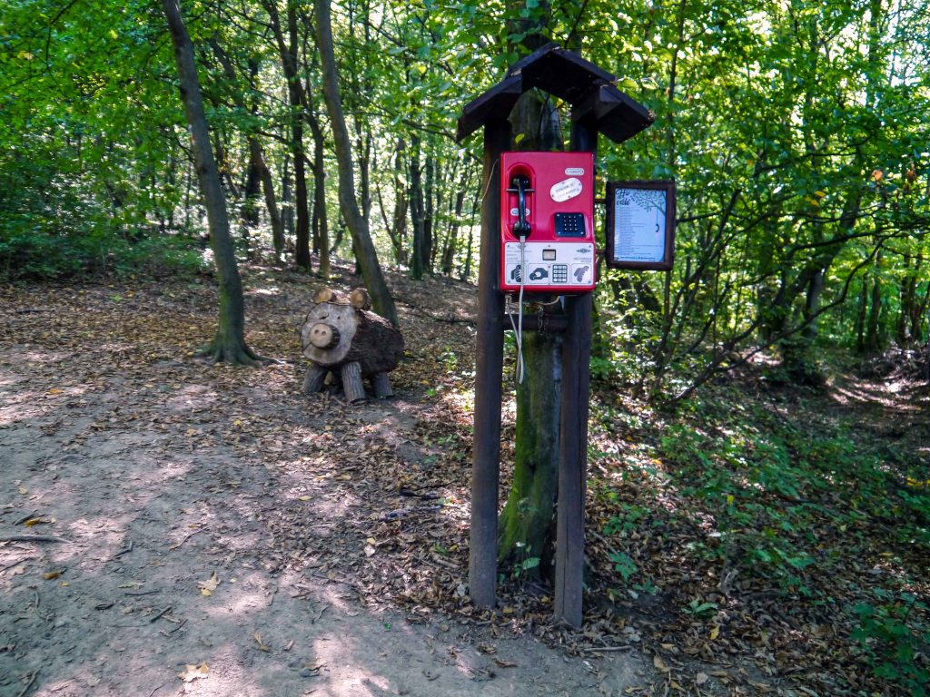
Past the village, the trail climbs a steep hill where a surprising sight awaits us – a phone booth in the middle of the forest. The device contains a selection of Hungarian forest-themed poems. Continuing on, the trail leads up to Pap Meadow [Pap-rét] and the Pap Meadow Forester’s Lodge [Pap-réti erdészház].
As the trail leaves the meadow, the most special section of the Visegrád Mountains part of the trail begins, with a sometimes Carpathian-style ambience. The trail follows a relatively level traverse on the side of Urak asztala Hill through a dense beech forest, creating a desolate atmosphere that makes the long walk very enjoyable. Eventually, the trail reaches the clearing of Vízverés Col [Vízverés-nyerge], then continues through the woods to arrive at the meadow of Barát Mound [Barát-halom]. At the edge of the meadow, the Moli Resting Area [Moli-pihenő] boasts a wonderful panorama over the Danube, and the dense forests of the Visegrád Mountains. After a short steep descent, the rocky outcrop of Borjú-fő offers another stunning view of the Danube, Nagymaros, and the green slopes of Börzsöny Mountains [Börzsönyi-hegység]. Continuing on, the trail passes through the boggy clearing of the Sóstó Meadow [Sóstó-rét], then follows a logging trail along the hillside before arriving at Nagy-villám Hill. Here, hikers can relax at the Nagyvillám Adventure Park [Nagyvillám-Kalandpark]: take a ride on a bobsled or climb the Zsitvay Lookout Tower [Zsitvay-kilátó].
Continuing in a dense beech forest, after a short steep descend the trail reaches the Visegrád Citadel [Visegrádi fellegvár]. It is worth spending some time exploring the citadel. After leaving the citadel and continuing on the steep descent, the trail passes by a baroque Calvary. Upon arriving in Visegrád, the markers lead to the ferry port since the trail continues across the Danube.
Throughout history, this area has always been of great interest due to its strategic position. During the Middle Ages, Visegrád served as one of the most important residences of the Hungarian kings. The castle complex that remains today dates back to the 1250s and was constructed during the reign of King Béla IV (1206–1270). The complex includes the Citadel, located on a 328 m high hill, the Lower Castle [Alsóvár] on the hill below, and the Water Bastion [Vízibástya] on the bank of the Danube. Additionally, the early Renaissance palace was built during the reign of King Mátyás (1443–1490) as a summer residence.
OKT-17 Nagymaros – Nógrád
This section of the trail winds through the expansive forests of the Börzsöny Mountains [Börzsönyi-hegység] ascending to its highest peak, Csóványos, where hikers are rewarded with breathtaking panoramic views of the surrounding landscape. Along the way, hikers can also explore the historic Nógrád Castle [Nógrádi vár], a medieval fortress perched on a hill, offering insight into the region’s historical significance.
| Start | End | Distance (km) | Ascent (m) | Descent (m) | Duration |
|---|---|---|---|---|---|
| NAGYMAROS | NÓGRÁD | 41 | 1745 | 1635 | 13:00 |
| Nagymaros | Julianus-kilátó | 4.4 | 400 | 25 | 1:40 |
| Julianus-kilátó | Törökmező turistaház | 6.5 | 105 | 345 | 1:50 |
| Törökmező turistaház | Kisinóci turistaház | 9.5 | 335 | 245 | 3:00 |
| Kisinóci turistaház | Nagy-hideg-hegy | 5.7 | 580 | 55 | 2:20 |
| Nagy-hideg-hegy | Csóványos | 3.0 | 225 | 140 | 1:10 |
| Csóványos | Nógrád | 10.9 | 95 | 815 | 3:10 |
Upon leaving the ferry port, the trail winds through the streets of Nagymaros before exiting through the Templom Valley [Templom-völgy]. This serene uphill hike takes place through a narrow gorge in a shaded beech forest. Eventually, the trail reaches the Brother Julianus Lookout Tower [Julianus barát-kilátó] on Hegyes Summit [Hegyes-tető]. This small bastion-like structure offers breathtaking views of the Danube, surrounded by lush green mountains. Descending from the top, the trail leads through a forest, crosses Köves Field [Köves-mező] and then Csapás Meadow [Csapás-rét], before finally arriving at Törökmező Hikers’ Lodge [Törökmező turistaház] via a forest path.
Continuing through a young forest, the trail crosses the Békás Meadow [Békás-rét], passes through the forest of Sűrűség, and after a while arrives at the village of Kóspallag and the Kisinóci Hikers’ Lodge [Kisinóci turistaház]. After leaving the lodge, the real test of endurance begins: the conquest of Magas-Börzsöny Mountains. The strenuous mountain hike begins along the lengthy Inóc Clearing [Inóci-vágás], proceeds on a rocky hillside path, followed by a stretch of pine forest, and finally arrives at the hikers’ lodge on Nagy-Hideg Mountain [Nagy-Hideg-hegy].
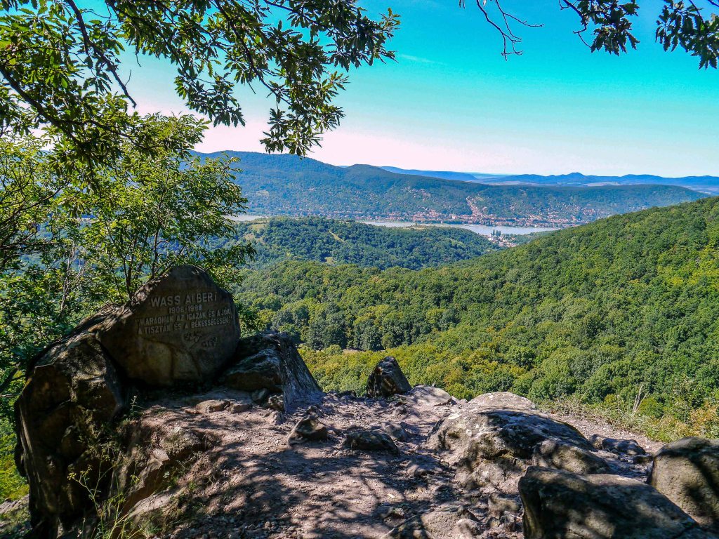
After leaving the 865-metre-high peak behind, the trail continues to climb toward the highest peak of the Börzsöny, the 938-meter-high Csóványos. It meanders through Égés-tető, Hangyás-bérc, and Szabó-kövek, passing through a pristine forest dotted with peculiar rock formations. After a strenuous ascent, the trail reaches the Csóványos Lookout Tower [Csóványosi-kilátó], with an additional 22 meters to climb. However, the stunning view from the top of the tower makes up for the effort. The sight of the undulating mountain ranges reveals the true grandeur of Börzsöny. Descending from the peak, the trail traverses through a beech forest toward the Három-hárs Ridge [Három-hárs gerinc] and the Foltan Cross [Foltan-kereszt]. The cross commemorates János Foltan, a local ranger who was killed by poachers in 1890. The trail then continues along Saj-kút Hill [Saj-kút-bérc], through the Cseresznyés Valley [Cseresznyés-völgy], before beginning its final ascent across the Börzsöny ridge. Eventually, the trail reaches open pastures, where a panoramic view unfolds over the town of Nógrád, with its volcanic hill crowned by the ruins of Nógrád Castle [Nógrádi vár]. It is well worth spending some time to explore the castle.
OKT-18 Nógrád – Becske
This section of the trail explores the rolling hills and quaint villages of the Cserhát Mountains [Cserháti hegység], meandering through a landscape characterized by gently sloping ridges and serene valleys. The trail offers a pleasant journey through the heart of this rural area, with only one significant climb: the ascent to Naszály, the highest peak in the Cserhát. This notable horst provides hikers with panoramic views of the surrounding countryside, showcasing the natural beauty and geological features of the region.
| Start | End | Distance (km) | Ascent (m) | Descent (m) | Duration |
|---|---|---|---|---|---|
| NÓGRÁD | BECSKE | 59.9 | 1875 | 1870 | 18:10 |
| Nógrád | Lokó-pihenő | 4.4 | 245 | 85 | 1:30 |
| Lokó-pihenő | Magyarkút | 3.9 | 10 | 240 | 1:00 |
| Magyarkút | Katalinpuszta | 5.5 | 160 | 90 | 1:40 |
| Katalinpuszta | Naszály | 7.9 | 580 | 145 | 3:00 |
| Naszály | Ősagárd | 7.1 | 110 | 485 | 2:00 |
| Ősagárd | Felsőpetény | 6.7 | 130 | 225 | 1:50 |
| Felsőpetény | Alsópetény | 4.4 | 80 | 50 | 1:10 |
| Alsópetény | Romhány | 6.9 | 225 | 280 | 2:10 |
| Romhány | Kétbodony | 2.8 | 55 | 35 | 0:50 |
| Kétbodony | Becske | 10.3 | 285 | 240 | 3:00 |
Upon leaving Nógrád, the trail winds through a forested area, crosses the meadow along Morgó Stream [Morgó-patak], and climbs toward Nagy-Kő Hill [Nagy-Kő-hegy] before reaching the Lokó Resting Area [Lokó-pihenő]. The rocky peak offers spectacular views of the Börzsöny Mountains, the Visegrád Mountains, and a glimpse of the Danube. Continuing on Magas Mountain [Magas-hegy], the trail descends directly toward the village of Magyarkút. (The stamp is located slightly off the trail at Irma Spring [Irma-forrás].)
After following the valley of the Keskeny-bükk Stream [Keskeny-bükki-patak], the trail reaches the village of Szendehely. The transition from a peaceful forest walk to the high traffic of the main street in the village can be quite jarring. (Another stamping point can be found at the Children’s Camp of Katalinpuszta [Katalinpusztai Diáktábor].) Leaving the urban areas behind, the trail begins with a gentle climb along the northern slope of the Naszály Hill. After crossing a suspension bridge, the trail climbs steeply to the geodetic observation tower at the summit, resulting in a long and strenuous hike. From the top, the trail descends to the village situated at the bottom of the hill, Ősagárd.
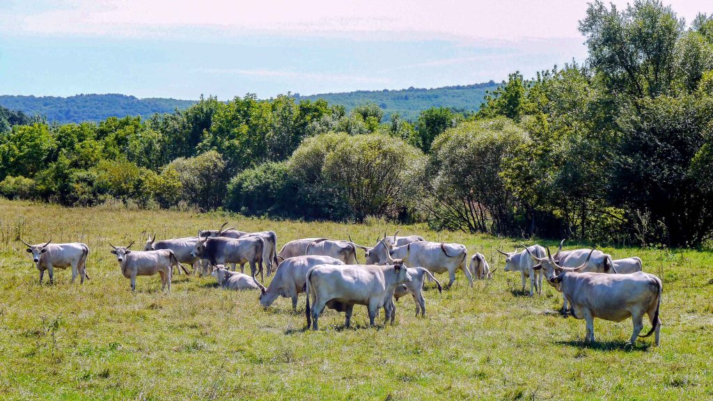
Following the challenging hike, this part of the trail offers a leisurely stroll through woods, fields, and pastures, leading to the village of Felsőpetény. Continuing along the slope of the pine-covered Homok Hill [Homok-hegy], the trail reaches the village of Alsópetény. In this area, hikers might encounter herds of ancient Hungarian breeds, including the Grey Cattle [Szürkemarha] and the Racka sheep.
Leaving the village behind, the trail ascends towards Korpa Hill [Korpa-hegy], offering a beautiful view of Alsópetény from its edge. After a while, the trail passes by the Kékesi Hunters’ Lodge [Kékesi vadászház] and continues uphill towards Romhány Hill [Romhány-hegy] and the Prónay Lookout Tower [Prónay kilátó]. Although the tower is not situated on the blue trail, hikers can take a short detour to reach it. The trail then leads through a hornbeam forest and eventually arrives in the village of Romhány. In 1710, Romhány was the site of an important battle in the Rákóczi’s War of Independence (1703-1711), led by nobleman Rákóczi Ferenc II (1676-1735), which marked the first significant attempt to end Habsburg rule in Hungary. There are many evidences in and around the village commemorating this event. During the Communist era, Romhány was an important center of the ceramics industry, which, has since mostly disappeared.
After this point, the trail becomes less enjoyable as it follows a busy road all the way to the village of Kétbodony. After leaving the urban areas, the trail ascends along the Cserhát Mountains [Cserháti hegység], passing through pine, acacia, and oak groves. The trail then runs along the valley of the Galga Stream [Galga-patak] before eventually arriving in the village of Becske.


OKT-19 Becske – Mátraverebély
This section of the trail traverses the rolling hills of the Cserhát Mountains [Cserháti hegység], taking hikers through shadowy forests, colorful agricultural fields, and charming villages. Along the way, hikers encounter Hollókő, an ethnographic Palóc village renowned for its traditional architecture and vibrant cultural heritage. The trail also leads to Holy Well [Szentkút], a revered national pilgrimage site, where visitors can experience the spiritual significance and tranquility of this sacred place.
| Start | End | Distance (km) | Ascent (m) | Descent (m) | Duration |
|---|---|---|---|---|---|
| BECSKE | MÁTRAVEREBÉLY | 74.4 | 2400 | 2455 | 22:40 |
| Becske | Szandaváralja | 6.0 | 265 | 245 | 2:00 |
| Szandaváralja | Cserhátsurány | 10.1 | 250 | 310 | 3:00 |
| Cserhátsurány | Nógrádsipek | 10.5 | 320 | 290 | 3:10 |
| Nógrádsipek | Hollókő | 11.7 | 450 | 345 | 3:40 |
| Hollókő | Bableves csárda | 10.1 | 290 | 285 | 3:00 |
| Bableves csárda | Tepke | 3.5 | 240 | 0 | 1:20 |
| Tepke | Nagybárkány | 10.1 | 240 | 585 | 3:00 |
| Nagybárkány | Mátraverebély | 12.4 | 345 | 390 | 3:40 |
Departing from Becske, the trail leads across open fields and wooded areas until it reaches the remains of the Szanda Castle [Szandavár], which is perched atop a hill. Although the castle is not directly on the blue trail, it can be accessed via a short detour. After descending from the summit, the trail swiftly emerges from the forest and continues through expansive pastures, eventually arriving in the village of Szandaváralja.
The trail continues on Hucskó Hill [Hucskó-hegy], passing thorough cultivated fields and patches of forest, and finally arrives in the village of Terény. The village is known for its 80 hipped-roof houses, which exemplify the traditional rural architecture of the region. Continuing along the rolling hills, the trail eventually reaches the village of Cserhátsurány. Leaving the village behind, the trail ascends towards Hegyes Hill [Hegyes-hegy], reaches the hill’s plateau, and eventually arrives in the village of Nógrádsipek, surrounded by vast sunflower fields. As a reminder of the past, a red star adorning one of the crumbling buildings on the outskirts of the village serves as a symbol of the agricultural collectivization efforts during the Communist era.
Beyond the village, the trail ascends towards Dobogó Col [Dobogó-nyereg] and Dobogó-tető Lookout Tower [Dobogó-tetői kilátó], which provides a 360-degree panorama of the surrounding mountains. Although the tower is not directly on the Blue Trail, it can be accessed via a short detour. After descending through oak forests and ascending again to Sós-puszta Lookout Point [Sós-pusztai kilátóhely], the trail eventually leads to the village of Hollókő. The old part of the village was constructed in 1909 after a devastating fire and has been recognized as a UNESCO World Heritage Site. It is well worth spending some time exploring the village, strolling along the cobbled streets, peeking into the houses, browsing through traditional crafts, and climbing up to the castle.
The trail continues along Szár Hill [Szár-hegy] and quickly reaches the God’s Hand Lookout [Isten keze kilátó], an unusual structure shaped like a hand. After departing from the lookout, the trail ascends towards Felsőtold and then traverses the meadows near the village to reach Alsótold. Finally, by following the Zsunyi-patak Valley [Zsunyi-patak völgye], the trail arrives at the Bableves Inn [Bableves csárda]. The next section of the trail is the most mountainous part of the Cserhát trail, as it geologically belongs to the Mátra mountain range. The trail climbs steeply towards the Tepke Lookout Tower [Tepke-kilátó]. The tower offers breathtaking views of the undulating hills of the Cserhát and the towering peaks of the Mátra. Continuing beyond the tower, the trail follows the ridgeline, traversing from peak to peak, as it gradually ascends towards the village of Nagybárkány.
Leaving the village, the trail continues across a grassy meadow and then along a paved road towards the village of Sámsonháza. At the entrance of the village, there is an abandoned stone quarry. The quarry has gained fame as a geosite due to its geological composition, which features twice-alternating volcanic fragmentary and lava beads, overlaid by shallow-sea limestone layers. It is a national shrine, a Catholic pilgrimage site led by Franciscan friars. Pilgrims have been visiting this site for over 800 years.
Legend has it that around 901, King Szent László, while escaping from his enemies, came across a chasm. Despite the seemingly hopeless situation, he miraculously leaped over the chasm with his horse, and in that very moment, a spring emerged at the site. This legend beautifully echoes the Hungarian literary tradition, which revered the king as the new Moses, able to draw water from a rock. In addition to visiting the pilgrimage site, it is worth climbing up to the Hermit Caves [Remete barlangok], which have been carved into the volcanic tuff of the hillside.
Finally, after a short hike through the woods, the trail reaches the village of Mátraverebély.
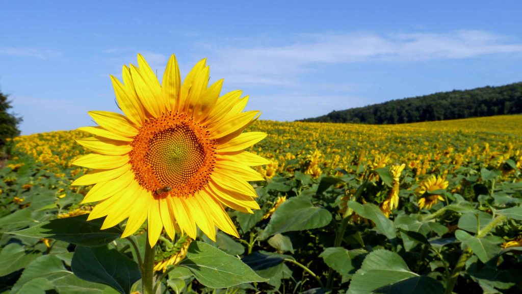

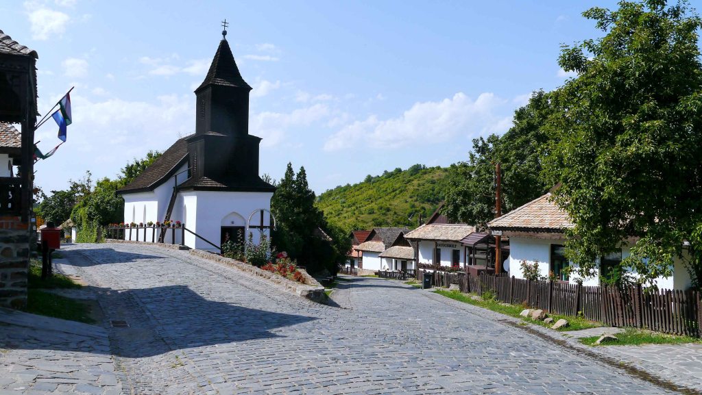
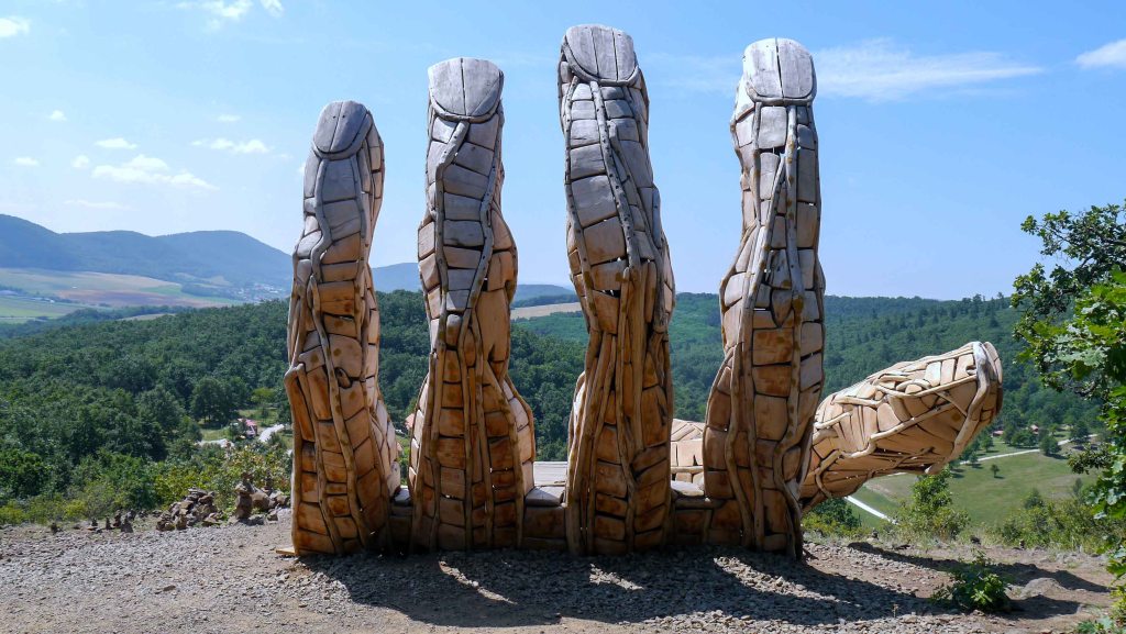
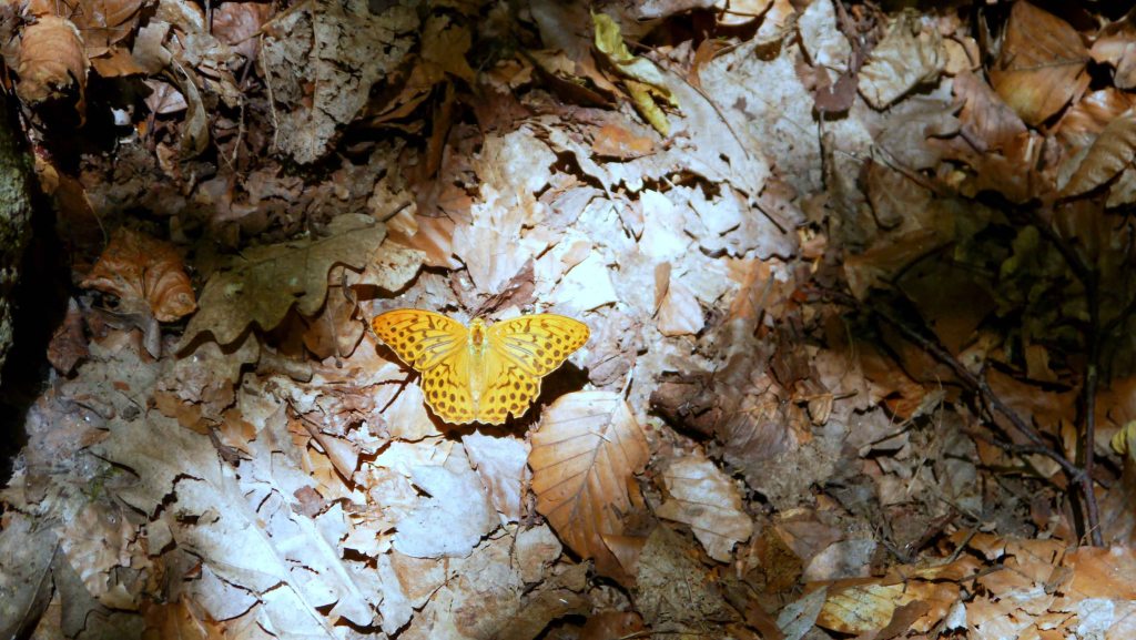
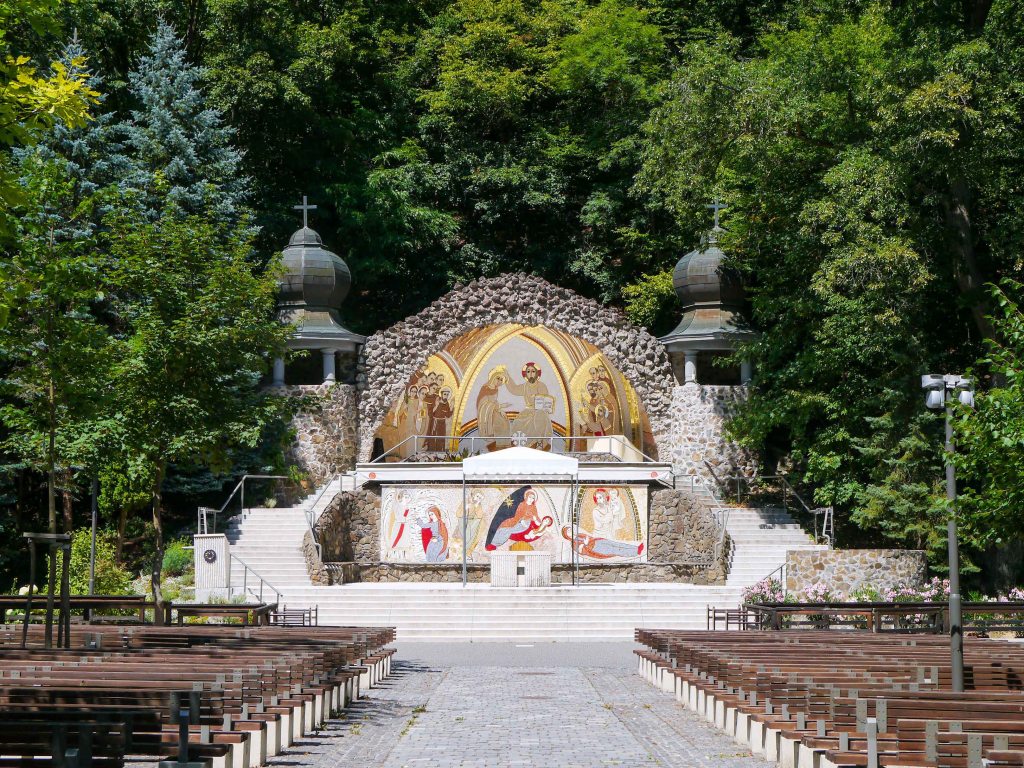
OKT-20 Mátraverebély – Mátraháza
This section of the trail explores the western and central parts of the Mátra Mountains, showcasing shadowy forests dotted with andesite rock formations. Along the way, the trail ascends to Galyatető, which reaches an impressive height of 964 meters, making it the third highest peak in Hungary.
| Start | End | Distance (km) | Ascent (m) | Descent (m) | Duration |
|---|---|---|---|---|---|
| MÁTRAVEREBÉLY | MÁTRAHÁZA | 26.2 | 1320 | 790 | 8:35 |
| Mátraverebély | Ágasvári turistaház | 8.3 | 550 | 90 | 3:00 |
| Ágasvári turistaház | Mátraszentistván | 4.2 | 195 | 105 | 1:20 |
| Mátraszentistván | Galyatető | 5 | 295 | 95 | 1:40 |
| Galyatető | Vércverés | 3.6 | 65 | 300 | 1:00 |
| Vércverés | Vörösmarty fogadó | 3.1 | 105 | 165 | 0:55 |
| Vörösmarty fogadó | Mátraháza | 2 | 110 | 35 | 0:40 |
Leaving Mátraverebély, the trail meanders along the edge of a vast meadow before venturing into the forest. Ascending through a mixed forest of pine and birch trees, with occasional glimpses of the Cserhát mountains, the trail eventually reaches the Ágasvár Hikers’ Lodge [Ágasvári turistaház]. For those seeking breathtaking views of the undulating hills of Cserhát, a steep and rocky detour on the K▲ trail leads to the summit of Ágasvár.
After passing the lodge, the narrow trail traverses on the main ridge of the mountain, offering glimpses of the Csörgő creek’s gorge [Csörgő-patak-szurdok] from a few clearings along the way. Gradually, the trail widens and transforms into a forest path, leading to the village of Mátraszentistván. This village is a popular ski resort during winter. Departing from the village, the trail runs alongside the road and soon enters the village of Mátraszentlászló. Once through the urban area, the trail continues through the forest, passing by the observatory of Piszkés-tető before finally reaching Galyatető. At the summit, the Galya Lookout Tower [Galya-kilátó] provides a magnificent view of the entire Mátra Mountains, the distant peaks of Bükk Mountains, and even the High Tatras.
The trail continues along the ridge and descends through a young forest toward Vércverés. Along the way, the clearings provide splendid views of Parádsasvár and the surrounding mountains. The descent is briefly interrupted by a short uphill hike to Csór Hill [Csór-hegy], which offers a view of Kékes, the highest mountain peak in Hungary. Then, the trail continues its descend towards the Vörösmarty Inn [Vörösmarty fogadó]. Finally, after a short walk through the valley of Hidas Stream [Hidas-folyás], the trail reaches the village of Mátraháza.
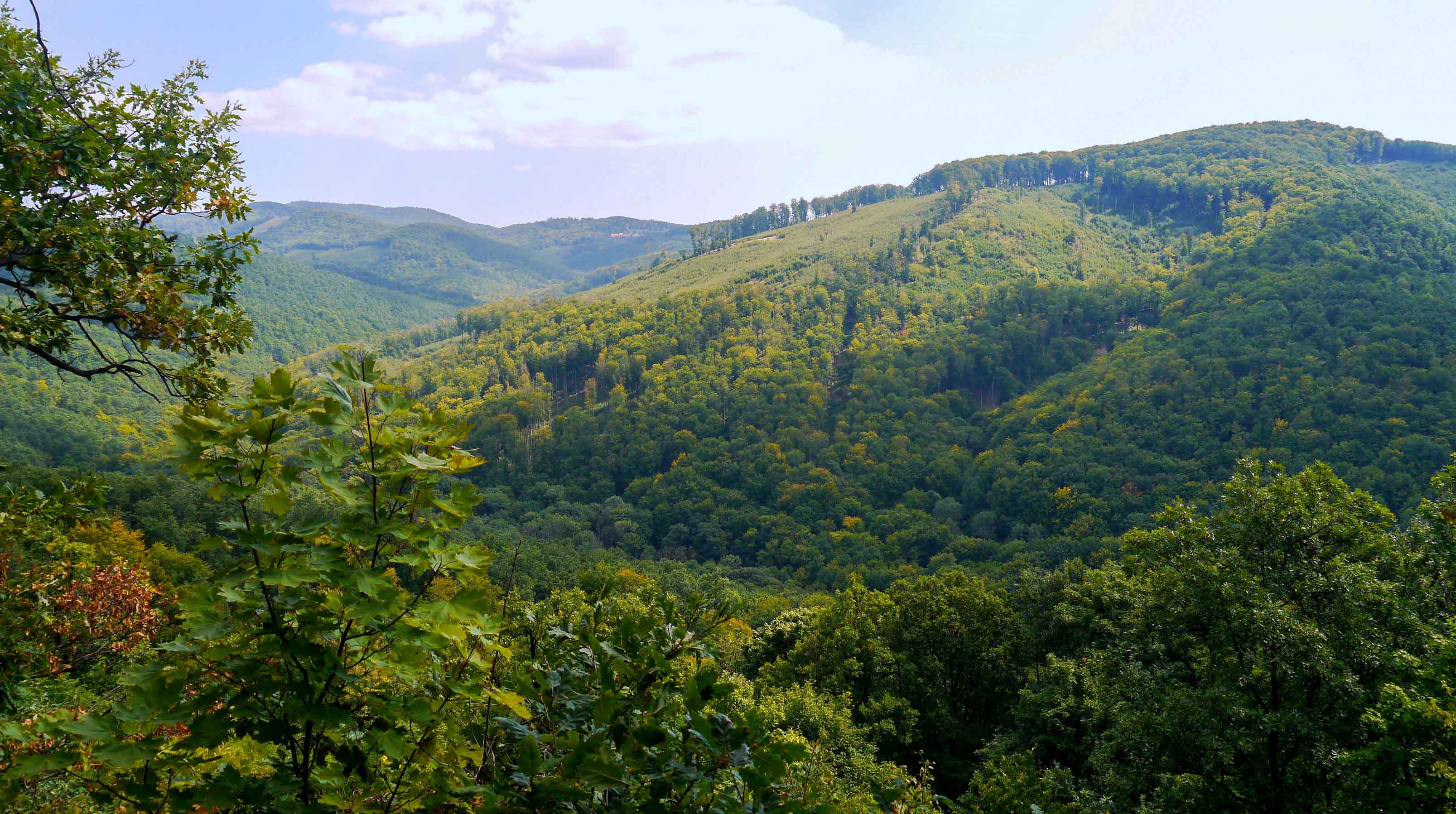
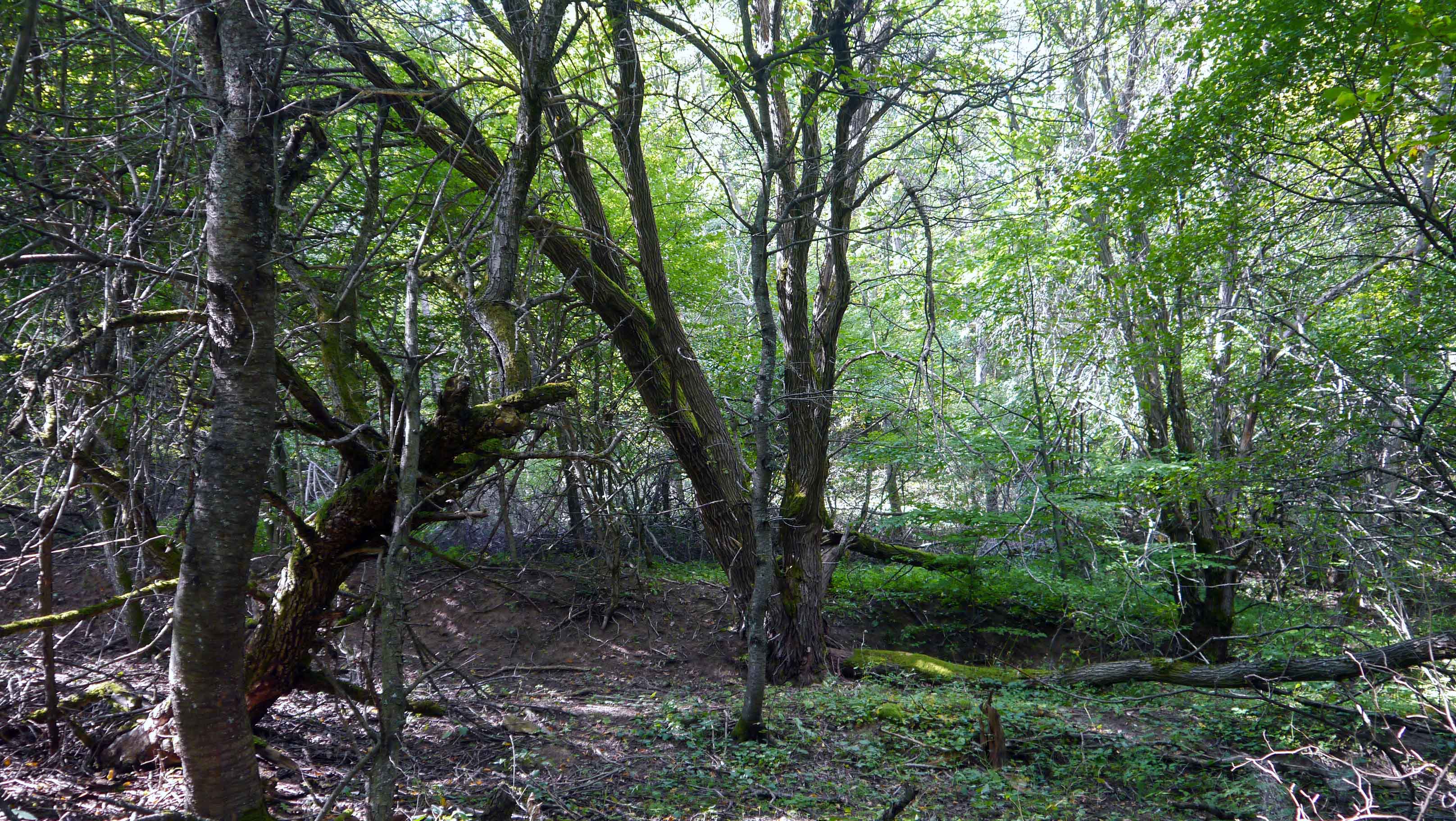
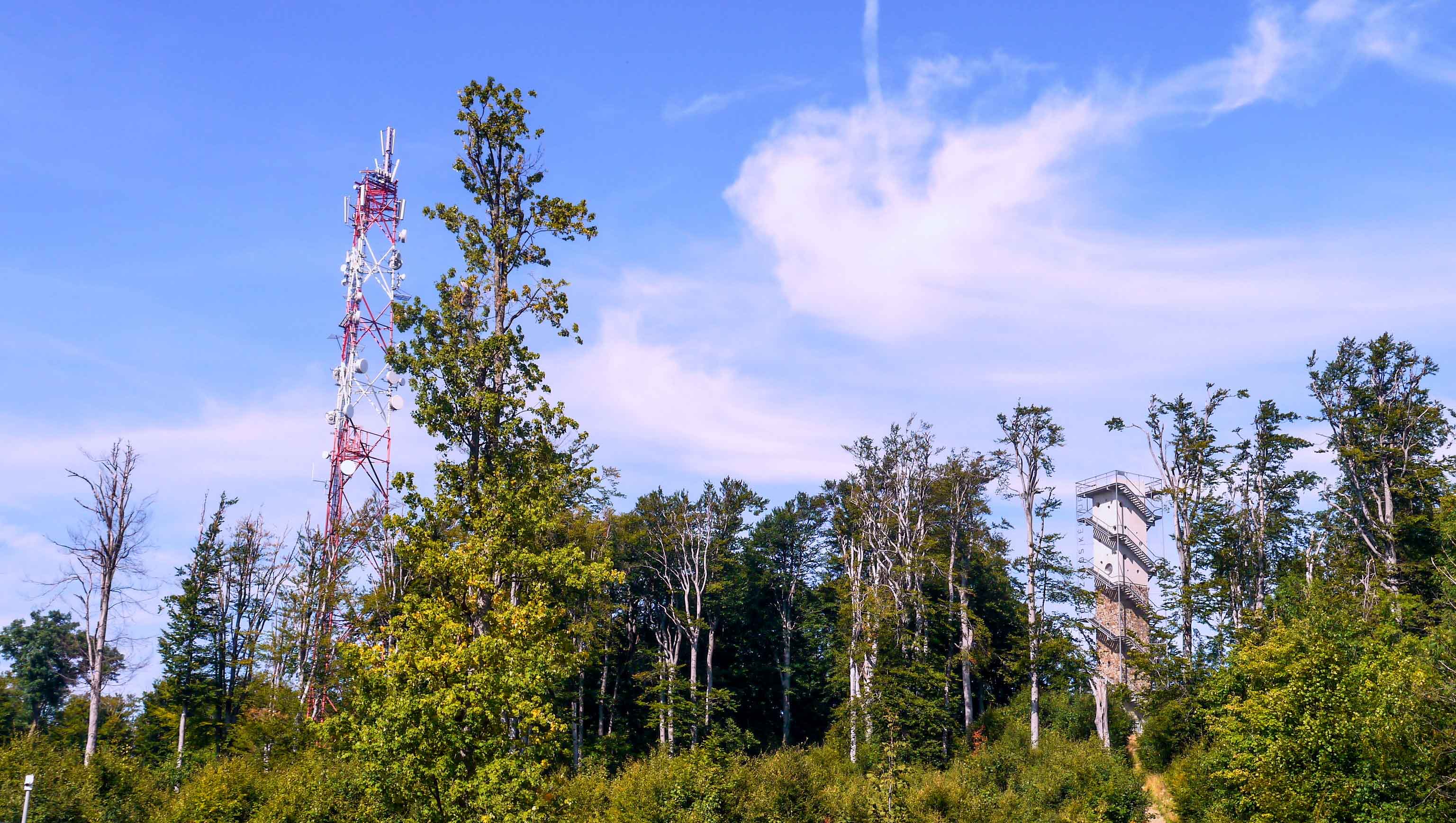
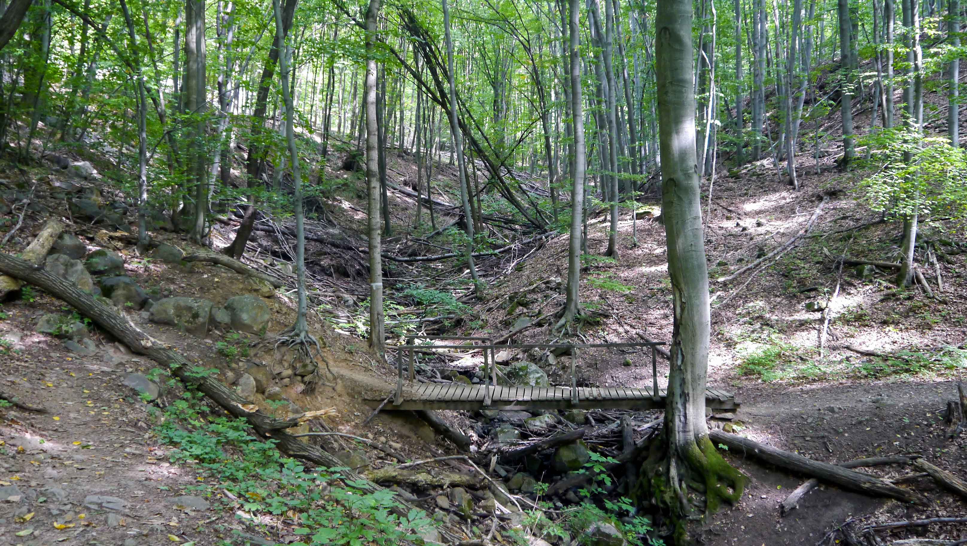
OKT-21 Mátraháza – Sirok
This section of the trail follows the main ridge of the Mátra mountain range and ascends to Kékestető, which stands at an elevation of 1014 meters, making it the highest peak in Hungary. Renowned for its challenging terrain, this segment offers breathtaking views and an unforgettable hiking experience.
| Start | End | Distance (km) | Ascent (m) | Descent (m) | Duration |
|---|---|---|---|---|---|
| MÁTRAHÁZA | SIROK | 26.1 | 1030 | 1580 | 8:10 |
| Mátraháza | Kékestető | 3.6 | 345 | 45 | 1:30 |
| Kékestető | Hármashatár erdészház | 5.7 | 90 | 470 | 1:30 |
| Hármashatár erdészház | Sirok | 16.8 | 595 | 1065 | 5:10 |
Leaving Mátraháza behind, the trail enters the narrow valley of the Somor Creek [Somor-patak] and ascends steeply through the forest until it reaches Kékestető. Once past the ski slopes, the summit is dominated by the huge TV tower. From the top platform of the tower, visitors can enjoy a 360-degree panorama of the surrounding mountains.
The trail departs from the summit and winds its way through enchanting beech forests adorned with striking rock formations. This characteristically descending trail rolls from peak to peak. Along the way, there are several clearings that offer stunning views. One such highlight is the rocky peak of Sas-kő, which provides magnificent vistas to the north and east, featuring the peak-free plateau of the Bükk Mountains. After the final descend, the trail leads to the Hármashatár Forester’s Lodge [Hármashatár erdészház].
Beyond the lodge, the trail continues its descent along the ridgeline, gently rolling from peak to peak. The final scenic vista of the Mátra can be enjoyed from the summit of Gazos-kő. Emerging from the forest, the trail then follows the road and ultimately reaches the village of Sirok.
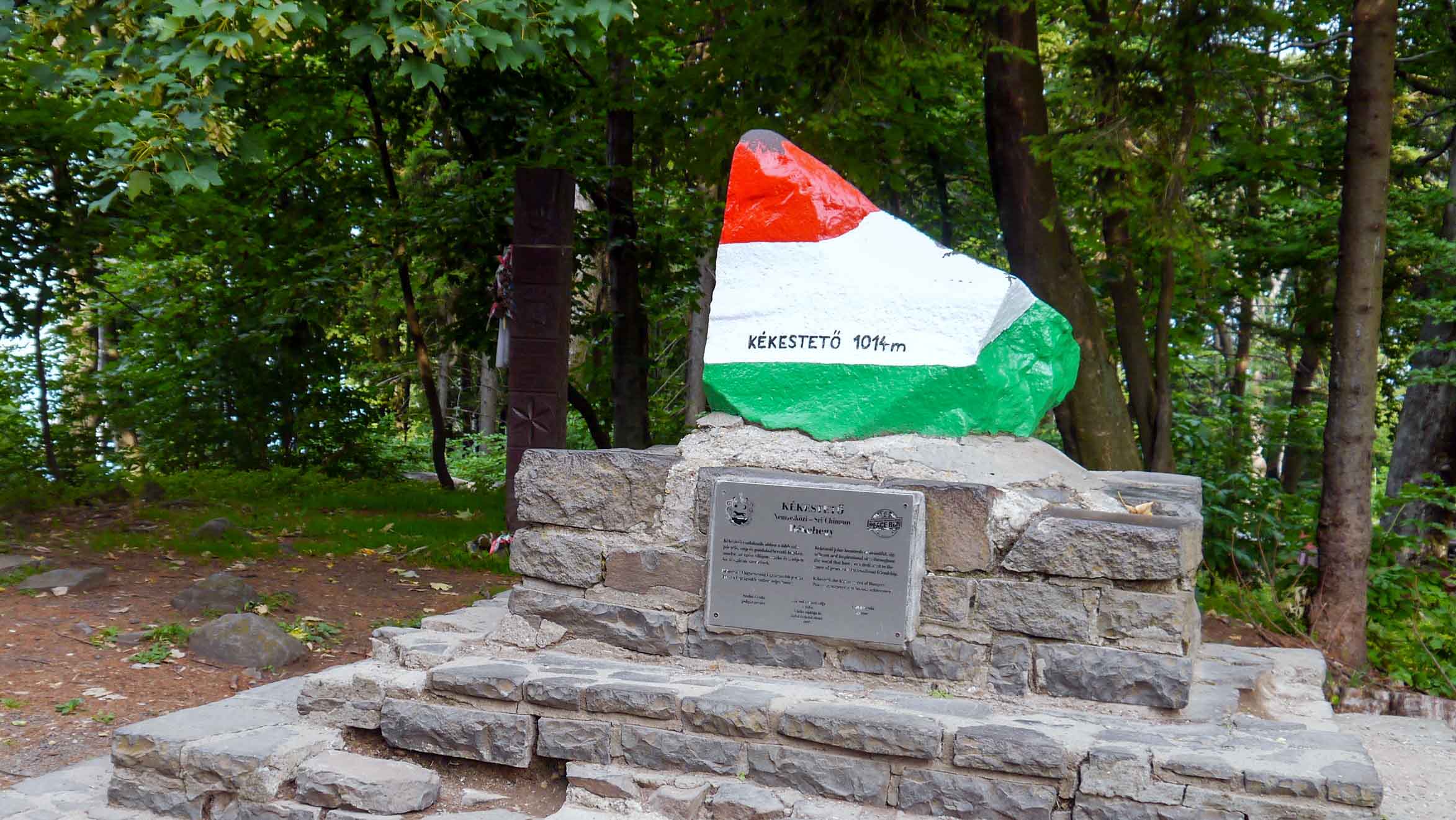
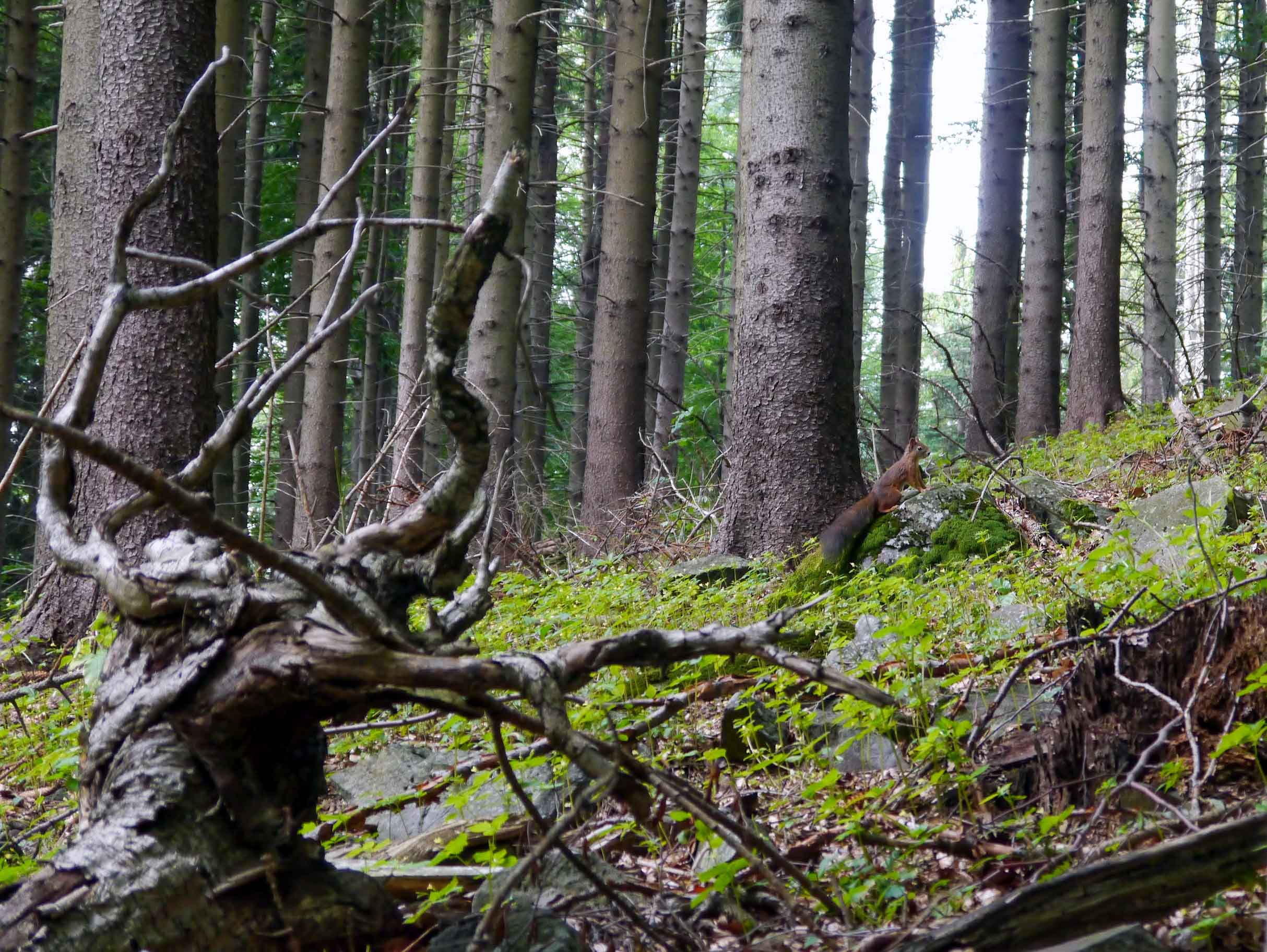
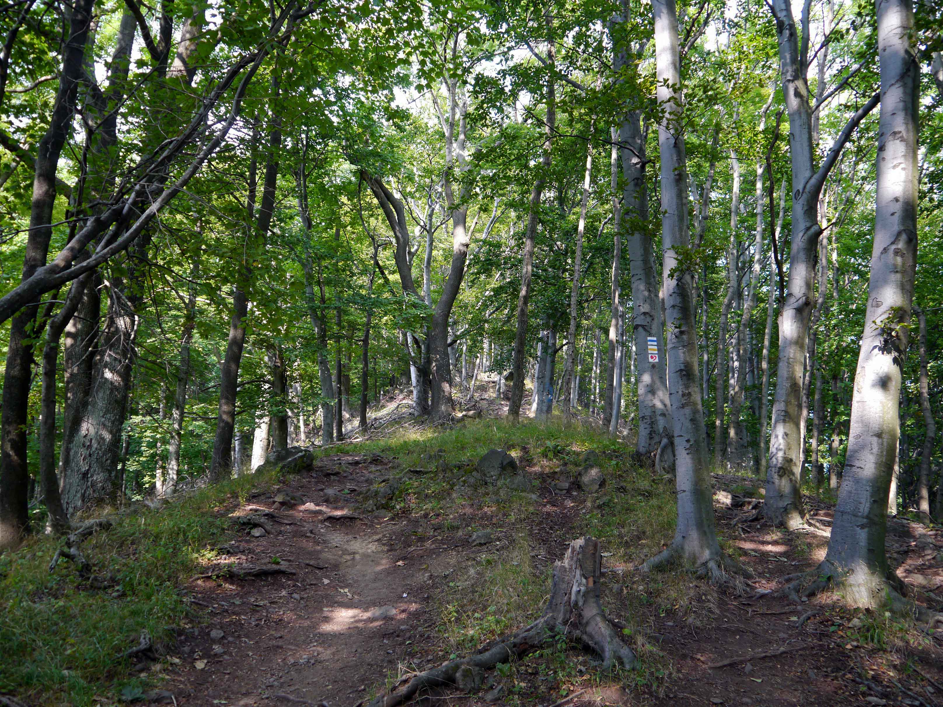

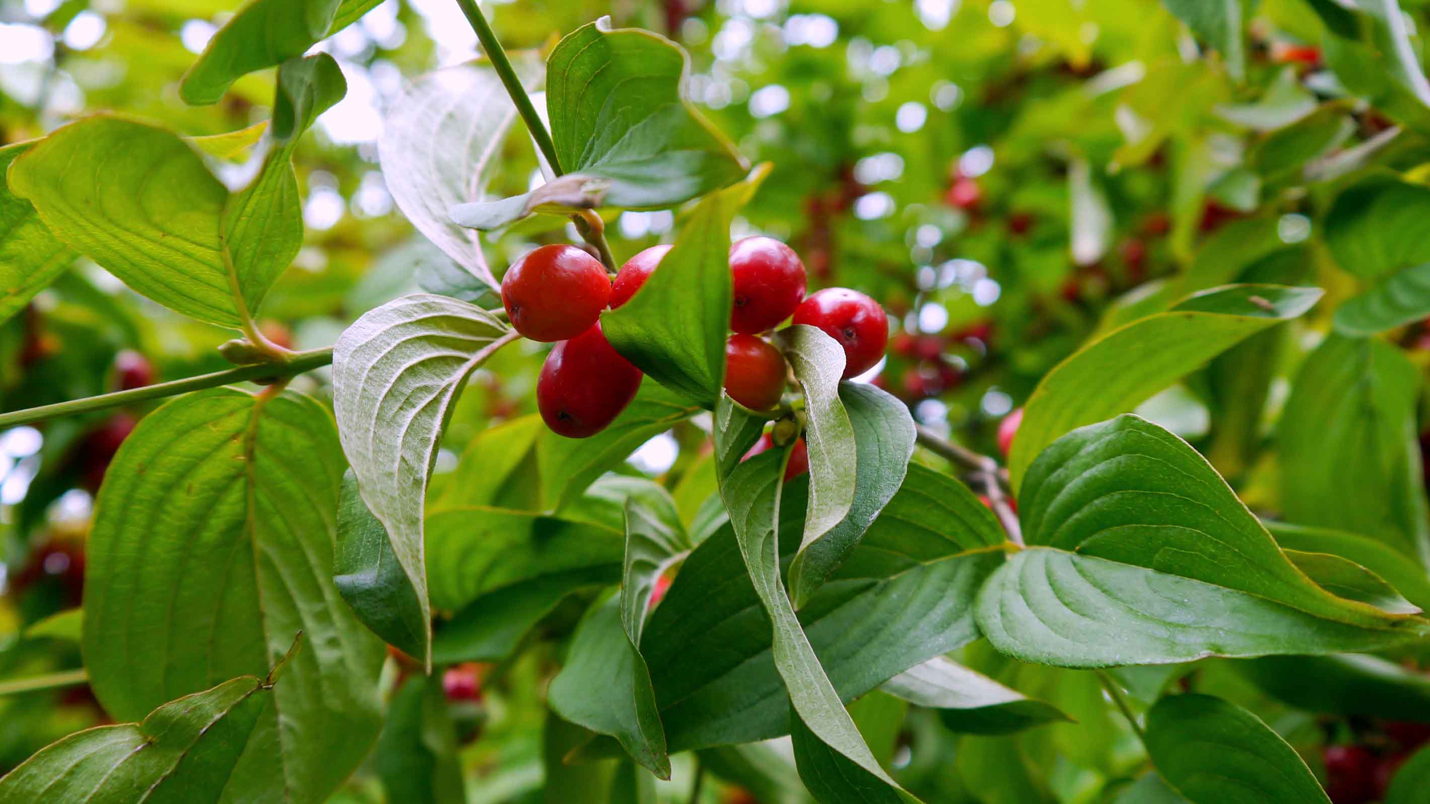
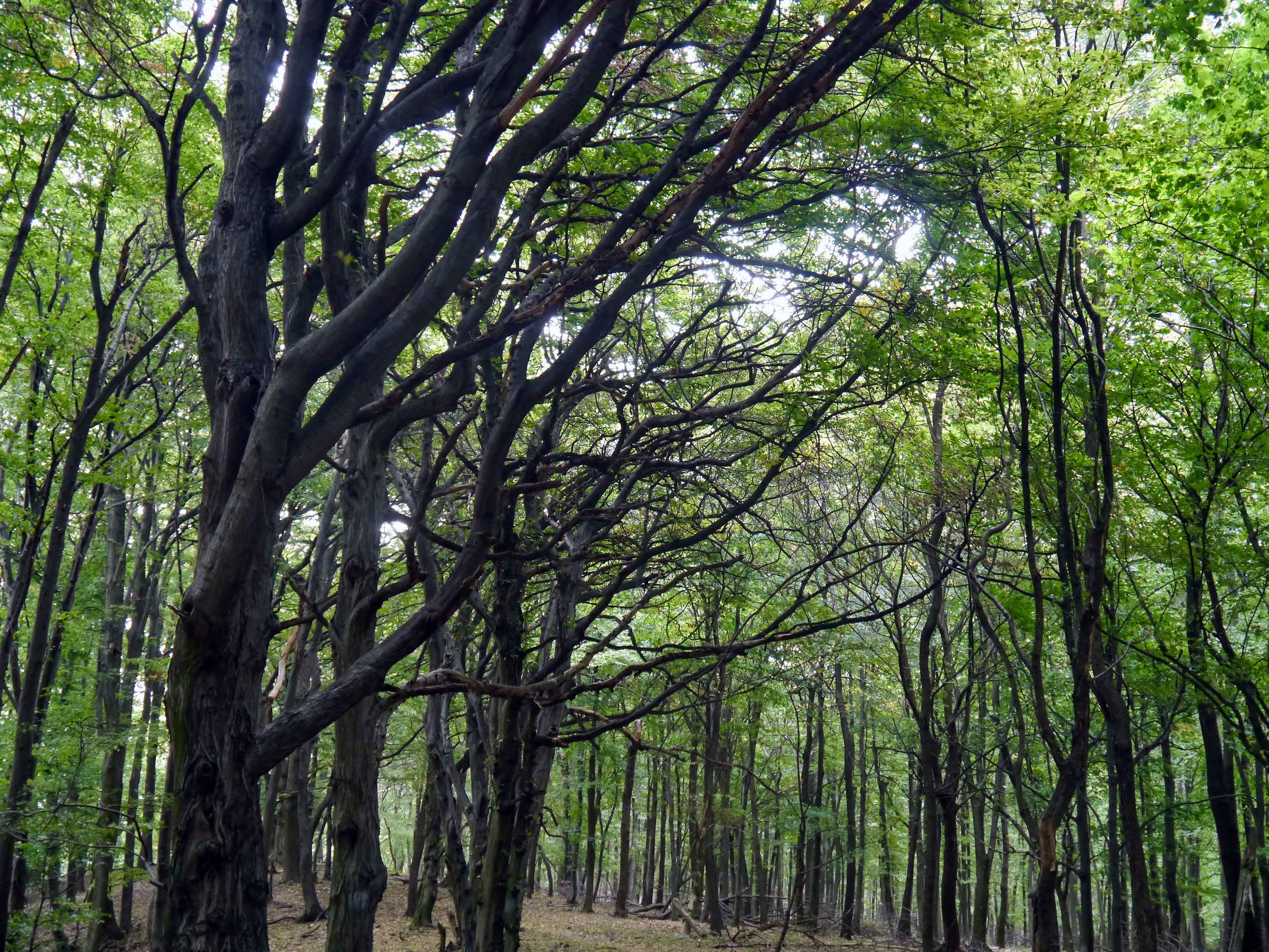
OKT-22 Sirok – Szarvaskő
This section of the trail traverses the hills connecting the Mátra and Bükk mountains, winding through shadowy forests and charming meadows. Hikers can explore the medieval Sirok Castle [Siroki vár], perched majestically on a hilltop, offering a glimpse into the region’s storied past. The trail also features fascinating volcanic tuff rock formations, such as the Monk and Nun Rocks [Barát és Apáca-sziklák].
| Start | End | Distance (km) | Ascent (m) | Descent (m) | Duration |
|---|---|---|---|---|---|
| SIROK | SZARVASKŐ | 18.0 | 585 | 520 | 5:30 |
| Sirok | Rozsnakpuszta | 6.4 | 265 | 200 | 2:00 |
| Rozsnakpuszta | Szarvaskő | 11.6 | 320 | 320 | 3:30 |
In the village of Sirok, a visit to the medieval castle is a must, as it proudly stands atop a towering volcanic tuff rock. The Bükkalja region, predominantly composed of volcanic tuff, originated from intense volcanic activity during the Miocene period. Volcanic tuff is composed of deposits of volcanic ash and other sediments that were ejected from the vent during the eruption and gradually transformed into solid rocks under pressure. The resulting rock is relatively soft and porous. Once the trail enters the woods, it passes by the Monk and Nun Rocks [Barát és Apáca-sziklák], which are also formed from volcanic tuff. According to local legend, these rocks were once lovers who transformed into stones. Continuing from the rocks, the trail meanders through the forest and eventually reaches Rozsnakpuszta.
The trail departs from the stamping point and continues through planted pine forests, gradually transitioning into oak woods. It then crosses a meadow, follows a valley, and eventually arrives at Gilitka, where dense forest covers the steep slopes. After a spacious clearing, the trail re-enters the forest and soon reaches the pastures surrounding the village of Szarvaskő. A short detour from here leads to the Major-tető Lookout Tower [Major-tetői kilátó], which provides panoramic views of the Bükk mountain range and the town of Eger. In the village, visitors can explore the remains of a medieval fortress situated atop a volcanic rock. This unique rock formation, known as pillow lava, is the result of the rapid cooling of basalt lava that once flowed from an underwater fissure.


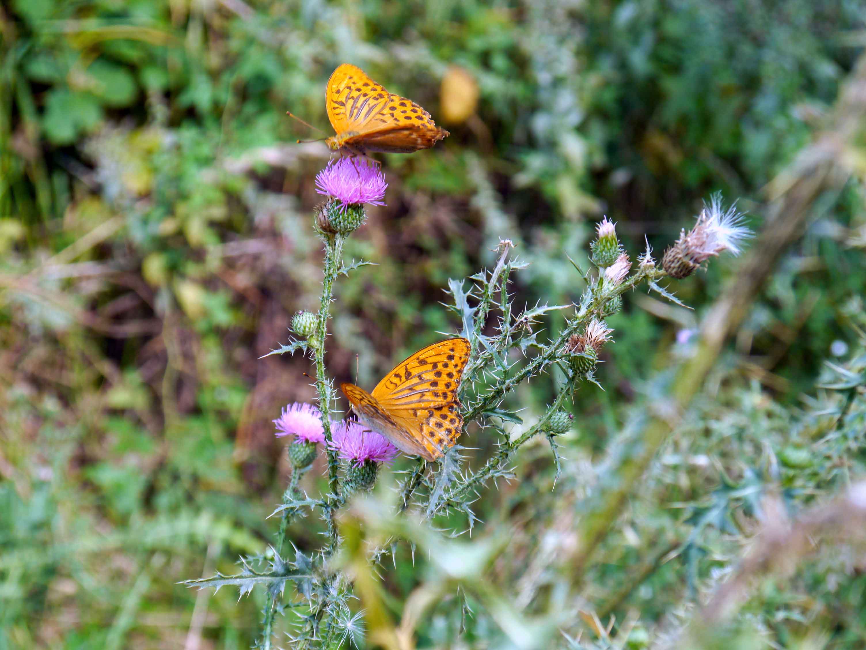
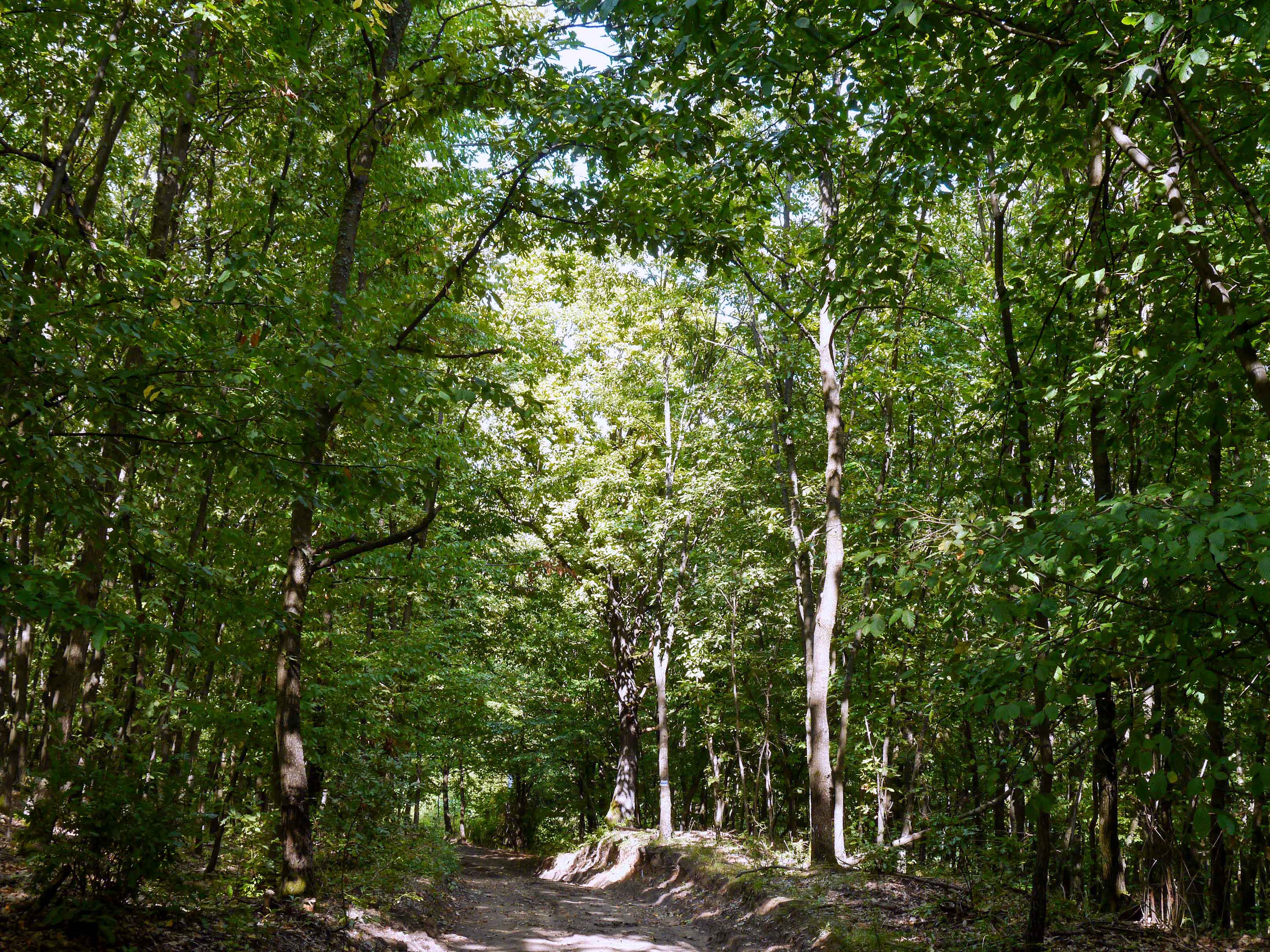
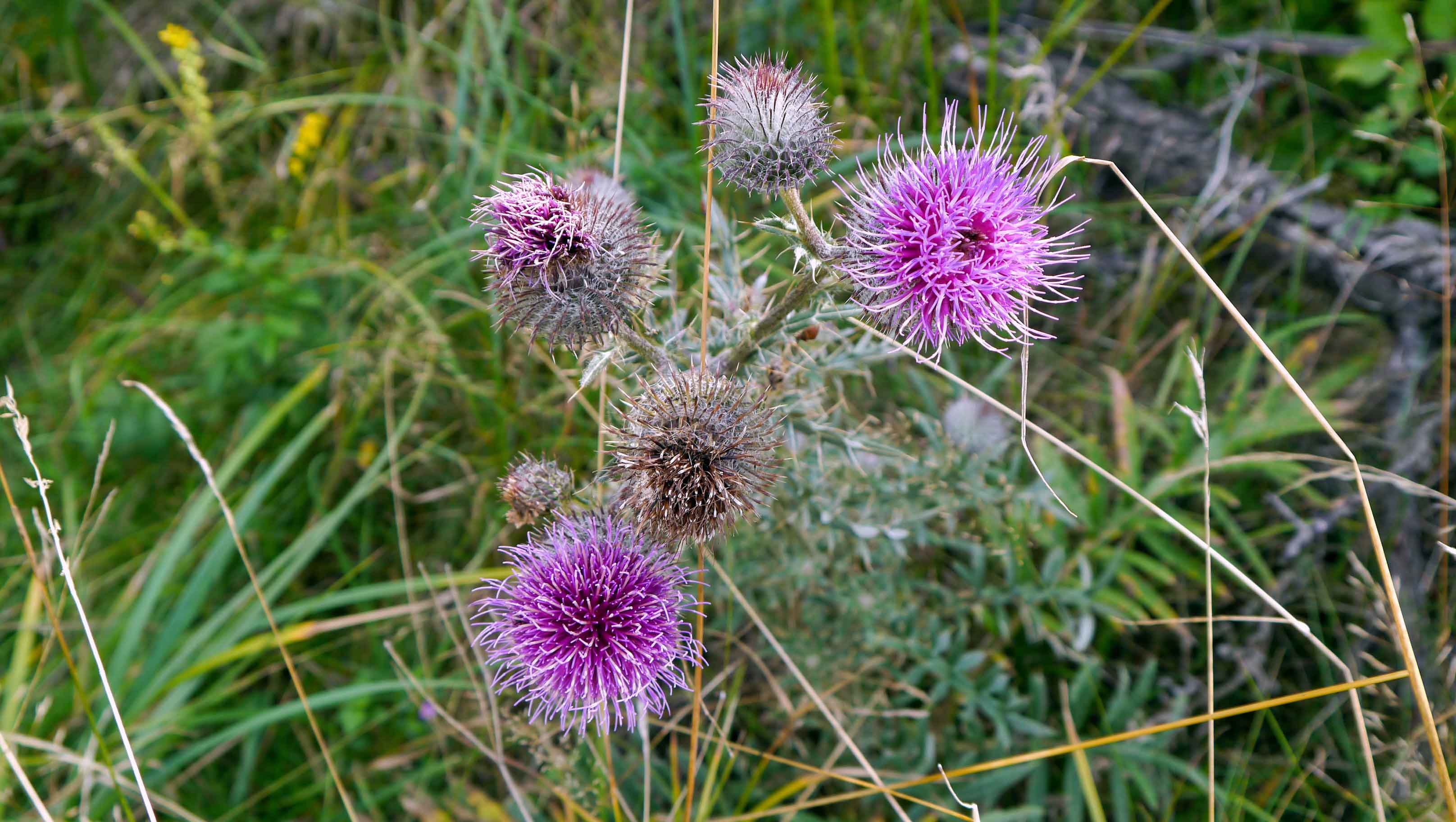
OKT-23 Szarvaskő – Putnok
This section of the trail explores the Bükk Mountains, Hungary’s highest landscape, passing through unspoiled forests, expansive meadows, and picturesque villages.
| Start | End | Distance (km) | Ascent (m) | Descent (m) | Duration |
|---|---|---|---|---|---|
| SZARVASKŐ | PUTNOK | 63 | 2255 | 2320 | 19:30 |
| Szarvaskő | Telekessy vendégház | 7.2 | 455 | 305 | 2:30 |
| Telekessy vendégház | Bélapátfalva | 4.0 | 65 | 120 | 1:10 |
| Bélapátfalva | Cserepes-kői-barlang | 9.9 | 660 | 200 | 3:30 |
| Cserepes-kői-barlang | Bánkút | 11.2 | 480 | 400 | 3.40 |
| Bánkút | Mályinka | 8.0 | 120 | 675 | 2:10 |
| Mályinka | Uppony | 9.7 | 170 | 270 | 2:40 |
| Uppony | Putnok | 13.0 | 355 | 355 | 3:50 |
Leaving Szarvaskő behind, the trail ascends to Veres-oldal, offering a great view of the village nestled among steep hillsides. Continuing its ascent towards Tardos-tető, the trail soon reaches the Chapel of St Ann [Szent Anna-kápolna]. According to tradition, this Baroque chapel is dedicated to Kilit II, bishop of Eger, who in 1232 founded the nearby Cistercian Abbey. After departing from the chapel, the trail follows the ridge and winds through the dense forest along the Paprakás Valley [Paprakás-völgy] before arriving at Telekessy Guesthouse [Telekessy vendégház].
Leaving the guesthouse, the village of Bélapátfalva is just a short hike away. The trail enters the outskirts of the village at the foot of the striking Bél-kő. The side of this mountain bears huge scars from previous mining activities. Bélapátfalva is renowned for the Cistercian Abbey Church [Ciszterci apátság temploma], which dates back to the 13th century. After navigating the streets of Bélapátfalva, the trail ascends through a dense forest, following the Lak Valley [Lak-völgy], and reaches the graves of soldiers who fought in the Second World War.
From this point onward, the trail offers a diverse landscape, meandering along hillsides and ridges, passing through shadowy forests and spacious meadows, and showcasing peculiar limestone rock formations and scenic mountain vistas, such as Pes-kő-kapu Lookout Point [Pes-kő-kapu kilátóhely]. Along the trail, the stamp point is located at the Cave of Cserepes-kő [Cserepes-kői-barlang]. Continuing through varied terrain, the trail passes the Vörös-kő-bérc Lookout Point [Vörös-kő-bérc kilátóhely], offering scenic views over the surrounding landscape, before entering the dense forest of Őserdő. It then leads to the Tar-kő Lookout Point [Tar-kő kilátóhely], another excellent vantage point, and continues across open clearings such as Zsidó Meadow [Zsidó-rét] and Faktor Meadow [Faktor-rét]. From here, the trail gradually makes its way to Bánkút, a popular rest stop for hikers.
After departing from Bánkút, the trail begins a steady descent through a dense beech forest, gradually losing elevation as it follows the slopes of Ördögoldal. Along the way, it reaches the ruins of Verebec Castle [Verebec vár], before continuing to the Vásárhely-kő Lookout Point [Vásárhely-kő kilátóhely], which offers sweeping views of the surrounding hills and valleys. The trail then continues past the ruins of Dédes Little Castle [Dédes Kisvár], tucked away among the trees, and descends into the tranquil Vár Valley [Vár-völgy]. Passing the striking rock formation of Pirító-kő, the trail follows the scenic Baróc Valley (Baróc-völgy), where the landscape becomes gentler and more open. Eventually, the trail leads out of the forest and arrives in the quiet village of Mályinka. At the outskirts of the village, a lookout tower offers magnificent views of the surrounding hills.
Upon leaving the village, the trail continues along the road and soon enters the village of Dédestapolcsány. Beyond the village, the trail follows the path that runs alongside the reservoir of Lázbérc, which serves as a water source for the neighboring villages and industrial facilities. Upon reaching the village of Uppony, the trail passes through the Uppony Gorge [Upponyi-szoros], the deepest gorge in Hungary. Leaving Uppony behind, the trail meanders through the forest and gradually climbs towards the black rocks of Három-kő. These rocks, made of dark andesite, have the unique ability to absorb sunlight, contributing to the distinctive microclimate of the region. The trail concludes with a final descent through the forest, leading to the final destination of Putnok.


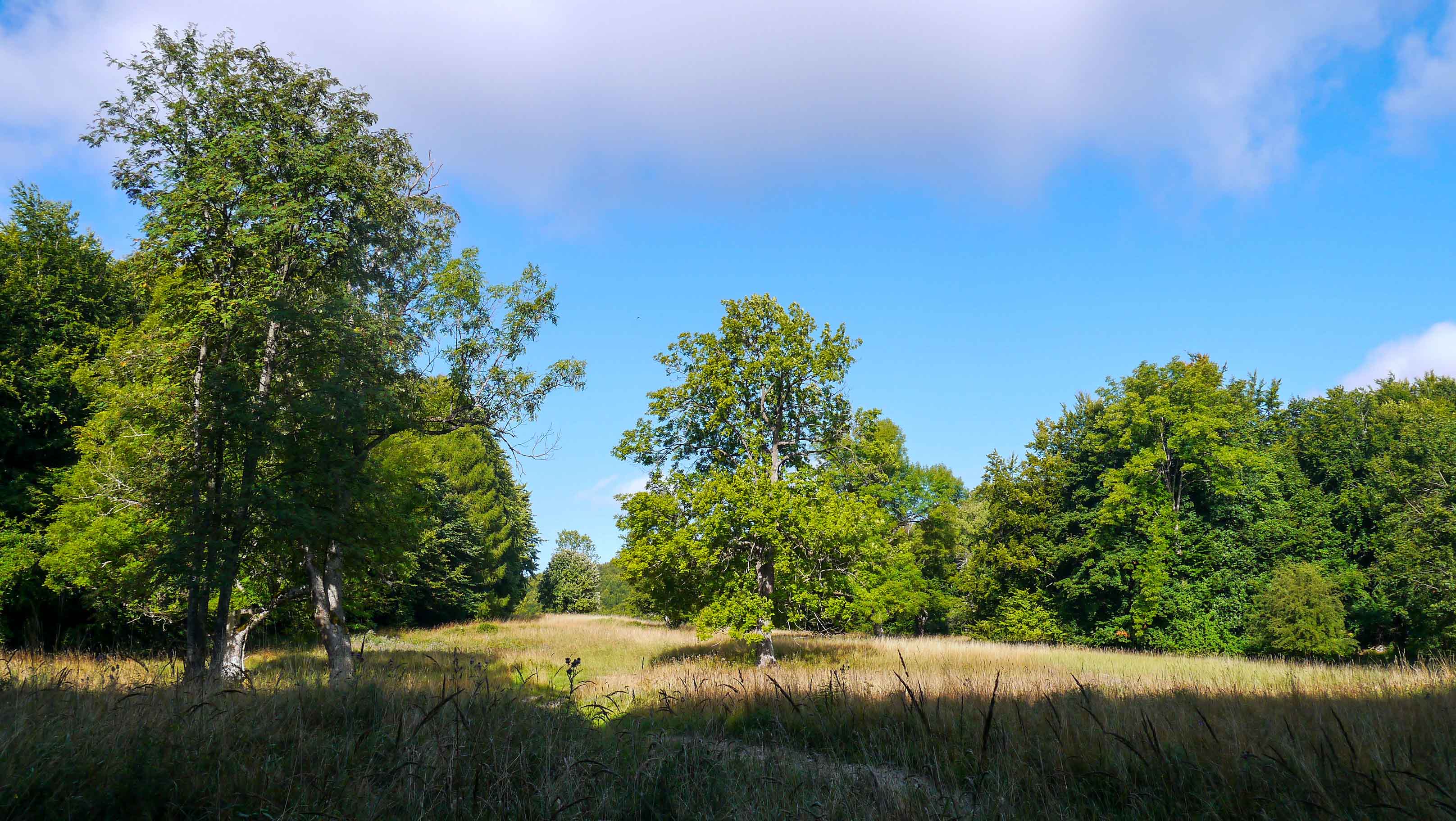

OKT-24 Putnok – Bódvaszilas
This section of the trail explores the Aggtelek Karst [Aggteleki-karszt], a unique region renowned for its captivating karst phenomena both above and below ground. A major highlight of this area is the Baradla Cave [Baradla-barlang], an extensive and awe-inspiring cave system that stretches over 25 kilometers, making it one of the largest and most impressive caves in Europe. As hikers venture through this subterranean wonderland, they encounter a stunning array of speleothems.
| Start | End | Distance (km) | Ascent (m) | Descent (m) | Duration |
|---|---|---|---|---|---|
| PUTNOK | BÓDVASZILAS | 63.9 | 1755 | 1735 | 18:50 |
| Putnok | Kelemér | 11.3 | 285 | 225 | 3:20 |
| Kelemér | Gömörszőlős | 2.3 | 35 | 15 | 0:40 |
| Gömörszőlős | Zádorfalva | 5.5 | 95 | 105 | 1:30 |
| Zádorfalva | Aggtelek | 13.1 | 320 | 215 | 3.50 |
| Aggtelek | Jósvafő | 6.2 | 225 | 340 | 1:50 |
| Jósvafő | Derenk | 13.9 | 470 | 340 | 4:20 |
| Derenk | Szabó-Pallag erdészház | 7.0 | 285 | 135 | 2:10 |
| Szabó-Pallag erdészház | Bódvaszilas | 4.6 | 40 | 360 | 1:10 |
Leaving Putnok behind, the trail traverses through the wooded hills of the Borsod Hills [Borsodi-dombság]. After a while, it reaches the Mohos Lakes [Mohos-tavak], a remarkable peat moss bog formation. These bogs were shaped by a landslide during the Ice Age and boast a unique climate that supports rare species of glacial plants. Upon arriving in the village of Kelemér, the trail passes by the Mohos House [Mohos-ház], which houses a permanent exhibition on the Mohos Lakes as well as the landscape and cultural history of the village. Continuing through the village center, the trail encounters the Memorial House of Mihály Tompa [Tompa Mihály emlékház], dedicated to the renowned Hungarian poet who was born in the village. The museum brings to poet’s persona to life and sheds light on the significant events that unfolded in his village.
Leaving the village, the trail follows an asphalt road that leads to the village of Gömörszőlős. In this village, there is an open-air exhibition showcasing traditional farming practices. Beyond the village, the trail continues along woodless, grassy slopes that offer great views, ultimately reaching the village of Zádorfalva. Upon leaving the village, the trail meanders through oak woods and clearings with scattered scrublands. Continuing along a ridgeline, the trail eventually reaches the state border, where hikers can stand with one foot in Hungary and the other in Slovakia.
As the trail runs parallel to the border line and approaches the village of Aggtelek, a massive limestone rock comes into view. The village is renowned for its cave called Baradla, which is actually a vast cave system consisting of one main branch and several shorter and longer side branches, spanning a total length of 25.5 kilometers. Baradla Cave features stunning caverns and an impressive variety of the six most common speleothems: stalactites, stalagmites, stalagnates, draperies, straws and flowstones. In 1995, Baradla, along with other caves in the Aggtelek Karst and the Slovak Karst, was designated as a UNESCO World Heritage Site. Continuing from there, the trail leads through Aggtelek National Park [Aggtelek Nemzeti Park] to the village of Jósvafő. This charming village also has an entrance to the Baradla Cave, although it is a different section of the extensive cave system. The houses of the village are scattered along the winding banks of the Jósva karst spring, creating a picturesque setting. Jósvafő is also known for its Hucul herd [Hucul ménes] a breed of horses that is genetically closely related to the ancient wild horses and the horses of the Hungarian Conquerors in the Carpathian Basin.
The trail proceeds along the Tohonya Gorge [Tohonya-szurdok] and, after a steep ascent, reaches the plateau of Jósvafő. From there, it crosses a meadow and enters the forest. After climbing the Szőlő Mountain [Szőlőhegy], the trail meanders through Szelce Valley [Szelce-völgy] before finally arriving at Szelcepuszta. From this point, the trail descends into the Patkós Valley [Patkós-völgy], then continues along Ménes Valley [Ménes-völgy], and eventually ascends to the abandoned village of Derenk. This village was formerly inhabited by Hungarians, Gorals, and Slovaks. In 1938, Miklós Horthy, the regent of the Kingdom of Hungary, aimed to establish a hunting ground in the area. Residents were offered relocation to the surrounding villages, and all but one accepted the offer. By 1943, the settlement had become completely deserted.
Leaving Derenk behind, the trail traverses a vast, marshy meadow before entering the forest. Shortly thereafter, the trail arrives at a junction where taking the side trail offers the opportunity for a small detour to visit the ruins of Szád Castle [Szádvár]. Returning to the main trail, a steep ascent awaits, eventually leading to the Szabó-Pallag Hunters’ Lodge [Szabó-Pallag-vadászház]. Continuing beyond the lodge, the trail embarks on a lengthy descent through the forest, ultimately concluding with the arrival at the village of Bódvaszilas.
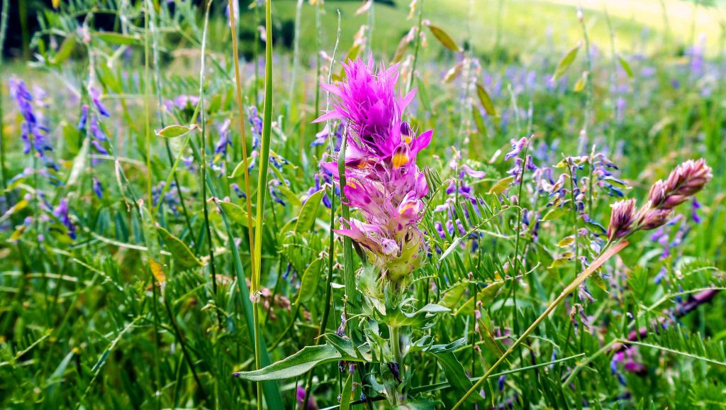

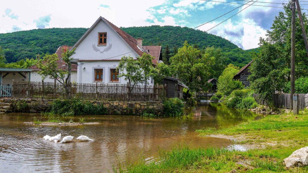
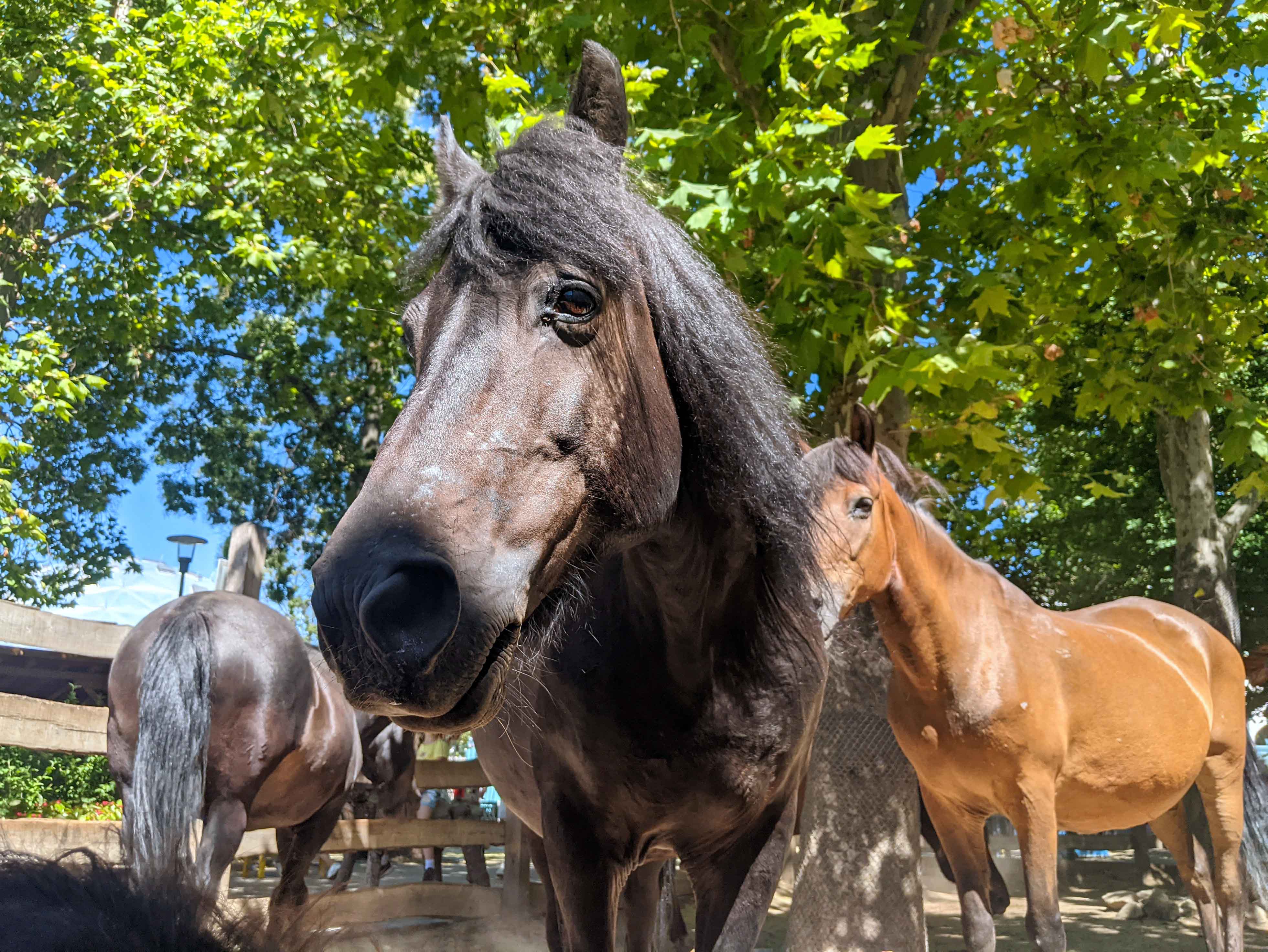
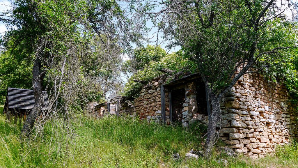
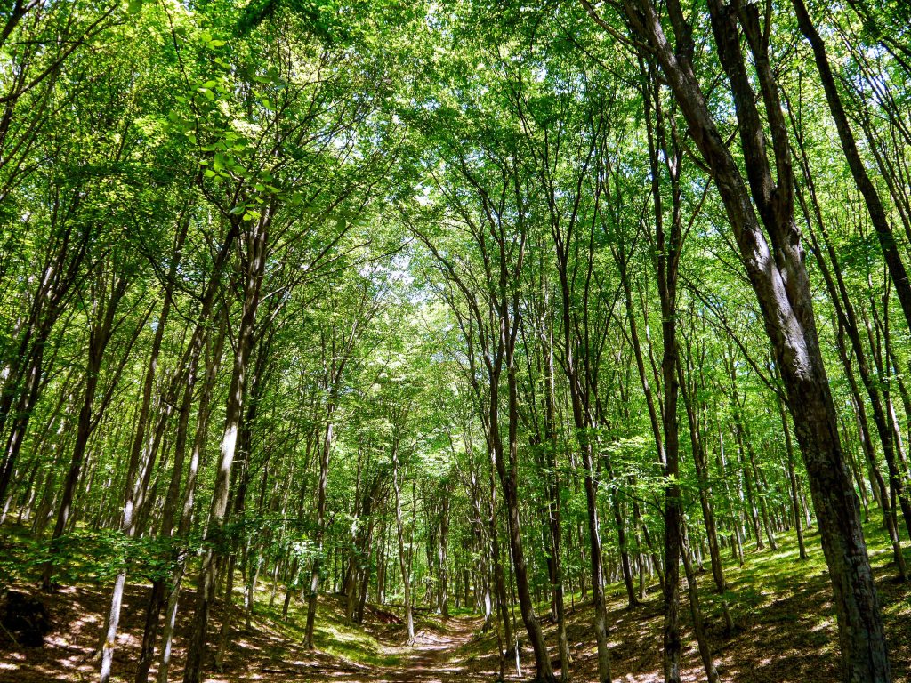
OKT-25 Bódvaszilas – Boldogkőváralja
This section of the trail explores the rolling hills of the Cserehát Mountains, stretching from the Bódva Valley to the Hernád Valley. Hikers meander through a landscape of gently undulating terrain, vibrant meadows, and dense woodlands, while passing through a series of charming villages that offer a glimpse into traditional rural life. At the end of this section, they are rewarded with a visit to the Boldogkő Castle [Boldogkői vár], an impressive medieval fortress perched atop a rocky outcrop, known for its distinctive architectural features.
| Start | End | Distance (km) | Ascent (m) | Descent (m) | Duration |
|---|---|---|---|---|---|
| BÓDVASZILAS | BOLDOGKŐVÁRALJA | 71.0 | 1530 | 1525 | 20:20 |
| Bódvaszilas | Bódvarákó | 4.6 | 30 | 35 | 1:10 |
| Bódvarákó | Martonyi kolostorrom | 4.1 | 315 | 75 | 1:30 |
| Martonyi kolostorrom | Tornabarakony | 9.7 | 195 | 400 | 2:50 |
| Tornabarakony | Rakacaszend | 3.9 | 80 | 95 | 1:10 |
| Rakacaszend | Irota | 9.0 | 185 | 180 | 2:30 |
| Irota | Felsővadász | 6.7 | 125 | 145 | 1:50 |
| Felsővadász | Abaújszolnok | 5.7 | 185 | 170 | 1:40 |
| Abaújszolnok | Baktakék | 5.1 | 115 | 130 | 1:30 |
| Baktakék | Fancsal | 3.2 | 110 | 75 | 1:00 |
| Fancsal | Encs | 6.5 | 55 | 115 | 1:40 |
| Encs | Gibárt | 3.4 | 0 | 5 | 0:50 |
| Gibárt | Hernádcéce | 5.2 | 75 | 45 | 1:30 |
| Hernádcéce | Boldogkőváralja | 4.0 | 55 | 50 | 1:10 |
Leaving Bódvaszilas, the trail follows the route of the former industrial railway and meanders through the valley of the Bódva Creek [Bódva-patak], providing commanding views of the truncated Esztramos Hill [Esztramos-hegy]. Continuing along the foot of the Esztramos Hill, the trail passes by a former quarry and arrives at the village of Bódvarákó after a leisurely stroll. Beyond the village, a steep ascent awaits, leading to the hilltop. From there, the trail leads to the Martonyi Monastery Ruins [Martonyi kolostorrom], the remains of a monastery founded by the Pauline Order [Pálos rend] in 1341. After leaving the ruins, the trail traverses Mile Hill [Mile-hegy] and, after passing through the pine forest of Szent János Valley [Szent János-völgy], joins the paved road leading to the village of Tornabarakony.
Leaving the village behind, the trail ascends to the ridge of the Barakony Hill [Barakonyi-hegy], meanders through a grassy meadow at the summit, and then descends into the valley of the Rakaca Creek [Rakaca-patak]. Ultimately, the trail reaches the village of Rakacaszend. The 12th-century Reformed church of the village has its original wooden ceiling and remains of some old frescoes.
Beyond the village, the trail leads uphill along the exposed slope of Kopasz Hill [Kopasz-hegy] and continues through wooded hills, gradually making its way towards the ridge of Kecske-pad. Upon reaching the ridge, the trail meanders through a grassy meadow before descending into the valley of Vadász Creek [Vadász-patak]. Eventually, it reaches the village of Irota, renowned for its traditional rural architecture. Following a similar pattern as the previous sections, the trail proceeds through the next hill of Cserhát and eventually arrives at the village of Felsővadász. Here, the 16th century Rákóczi Castle [Rákóczi-kastély] currently serves as the local primary school.
The trail departs from the paved roads of the village and meanders through fields and woods until it reaches the village of Nyésta. After passing the village, the trail re-enters the forest and crosses a meadow before reaching the village of Abaújszolnok. Continuing through the forest, the trail passes by the Katalin Lookout Tower [Katalin-kilátó], and shortly after, it traverses along farmlands, eventually arriving at the village of Baktakék. In this village resides Gyula Szádváry, one of the legendary figures of the Blue Trail, who possesses unique stamps and has a story or two to share with hikers passing by.
Beyond the village, the trail predominantly follows paved roads leading to the village of Fancsal, and then continues through farmlands until reaching the town of Encs. Prior to entering the town, hikers can enjoy splendid vistas of the rolling hills of Zemplén Mountains and may even spot the Füzér Castle [Füzér vára], which will be visited later along the way.
The trail continues along a paved road to the village of Gibart, which is notable for being home to the first Hungarian hydroelectric power plant built on the Hernád River. Beyond the village, the trail traverses through farmlands, and shortly after passing through the village of Hernádcéce, it reaches the village of Boldogkőváralja. Prior to entering the village, hikers can once again enjoy splendid views of the rolling hills of Zemplén and spot another castle, the Boldogkő Castle [Boldogkői vár]. This medieval castle, situated on the andesite tufa hill of Bodó-kő, dominates the skyline of the village. The lookout tower that is jutted from the main building complex gives the castle a unique look.
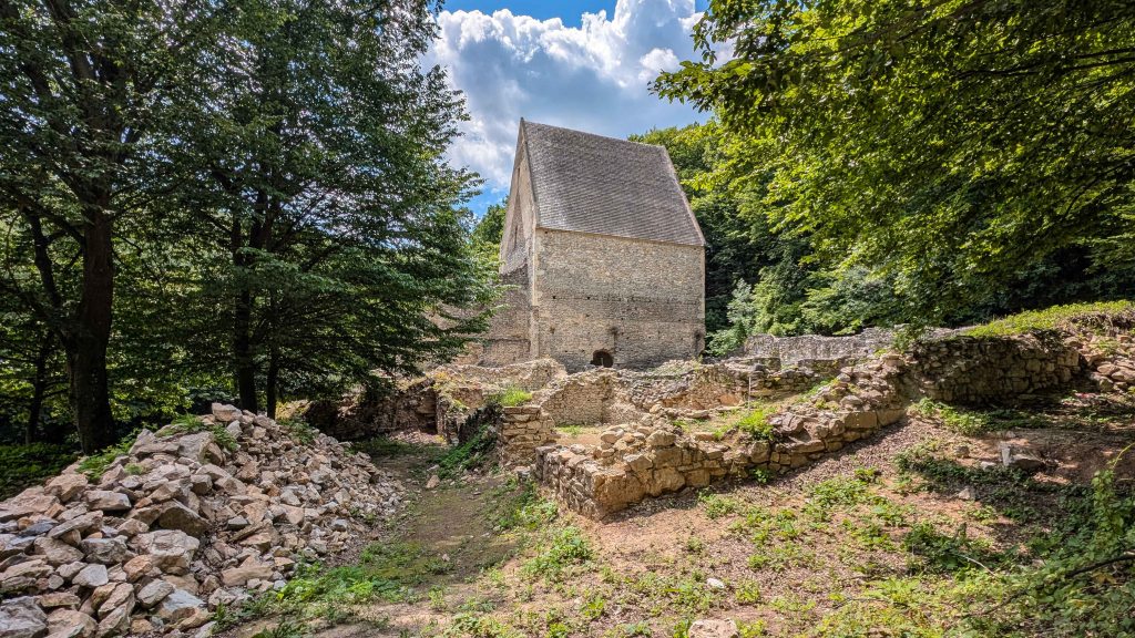
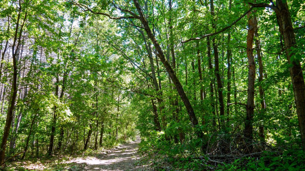
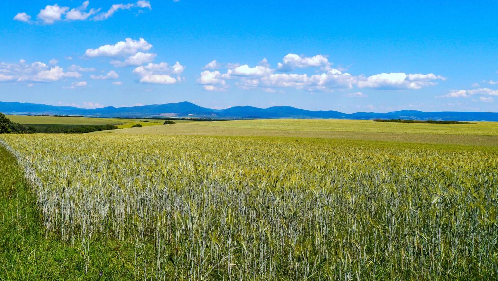
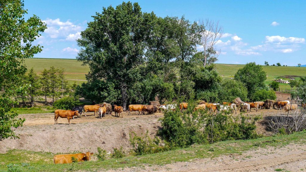
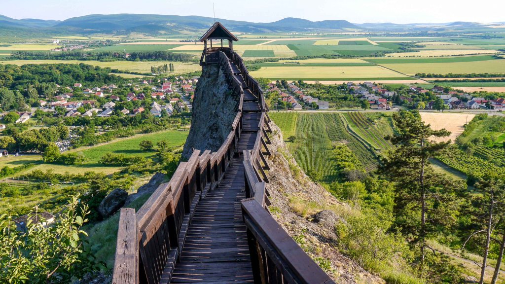
OKT-26 Boldogkőváralja – Nagy-nyugodó
This section of the trail explores the Zemplén Mountains, renowned for their distinctive Carpathian characteristics. The journey through this area reveals the region’s rugged beauty and rich history. Among the highlights is the medieval Regéc Castle [Regéci vár], which majestically overlooks the landscape from its elevated position.
| Start | End | Distance (km) | Ascent (m) | Descent (m) | Duration |
|---|---|---|---|---|---|
| BOLDOGKŐVÁRALJA | NAGY-NYUGODÓ | 51.8 | 1640 | 1445 | 15:40 |
| Boldogkőváralja | Regéc | 14.9 | 485 | 245 | 4:30 |
| Regéc | Istvánkúti vadászház | 8.3 | 330 | 230 | 2:40 |
| Istvánkúti vadászház | Eszkála erdészház | 7.4 | 180 | 210 | 2:10 |
| Eszkála erdészház | Makkoshotyka | 9.8 | 145 | 465 | 2.40 |
| Makkoshotyka | Cirkáló-tanya | 2.8 | 100 | 60 | 0:50 |
| Cirkáló-tanya | Nagy-nyugodó | 8.6 | 400 | 235 | 2:50 |
Leaving Boldogkőváralja behind, the trail enters the Zemplén mountain range and follows the course of the Arka Creek [Arka-patak], leading to a small village bearing the same name. Upon passing through the village, the trail continues through a thicket at the edge of a former orchard. After a lengthy hike along the Arka Creek, the trail eventually reaches the village of Mogyoróska. From there, an uphill climb leads to the Regéc Castle [Regéci vár]. Built in the 13th century, the castle played a significant role in Hungary’s history until the late 17th century when it was ordered to be demolished by an Austrian field marshal. Today, many parts of the castle have been restored, offering splendid panoramic views of the central regions of Zemplén. Beyond the castle, the trail descends towards the village of Regéc.
After departing from the village, the trail leads to the heart of Zemplén, the remotest section of the entire route. After ascending along the valley of the Boldogkőváralja Creek [Boldogkőváraljai-patak], moss-covered boulders come into view, with the Pengő-kő being the most renowned among them. Continuing on a delightful yet lengthy hike through pine forests, the landscape undergoes a dramatic transformation as the trail enters the dense birch woods interspersed with clearings near the Istvánkúti Hunters’ Lodge [Istvánkúti vadászház]. The trail carries on through the forest, beneath the shady canopy of birch and pine trees, ultimately leading to the Eszkála Forester’s Lodge [Eszkála erdészház]. Departing from the lodge, the trail gradually descends along the ridge that encloses the valley of Háromhuta. After circumnavigating the head of the valley, the trail descends further until reaching the village of Makkoshotyka.
As the trail departs from the village, it passes through the garden of the Castle of Tibor Meczner [Meczner Tibor-kastély], constructed at the beginning of the 20th century. Continuing through a dense grove, the trail emerges into an open field that provides great views of the pyramidal Sátoros Hill [Sátoros-hegy]. Further into the forest, the trail leads to the Cirkáló Farm [Cirkáló-tanya], which is nestled in the heart of the forest. This tranquil farm is home to a friendly dog, who has become the subject of many hikers’ photographs. The following section of Zemplén is abundant with springs, and their gentle streams form an extensive network of creeks. Along the way to Nagy-nyugodó Hill, the trail crosses several of these deep erosion valleys. From the Nagy-nyugodó stamping point, the town of Sátoraljaújhely can be reached via a lengthy detour.
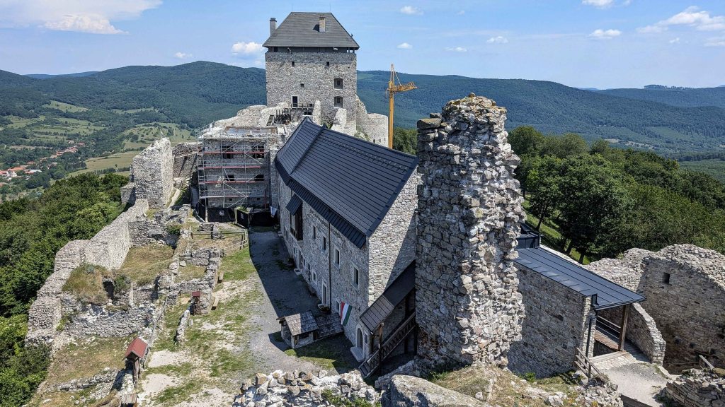
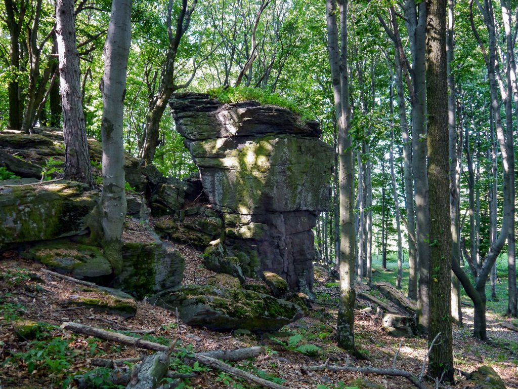
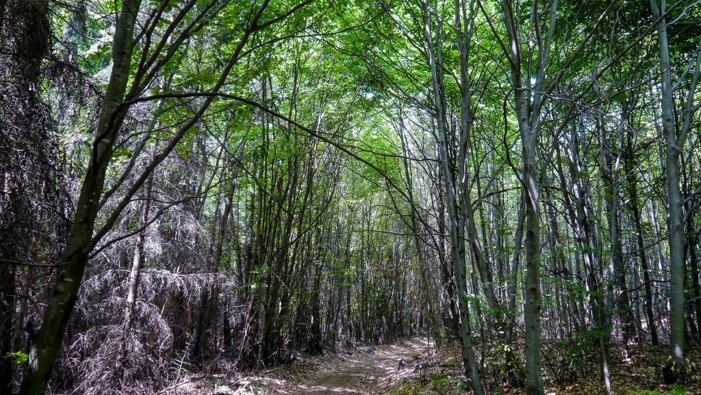
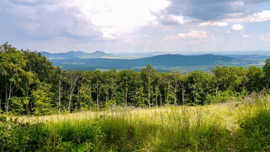
OKT-27 Nagy-nyugodó – Hollóháza
The final section of the trail delves into the northern reaches of the Zemplén Mountains, offering a captivating journey through pristine forest valleys and quaint mountain villages. As hiker traverse this scenic area, they encounter a remarkably picturesque Füzér Castle [Füzér vára], perched on a hill. The last stamp of the trail is located at the porcelain factory in Hollóháza. Here, hikers can also visit the Porcelain Museum [Porcelánmúzeum], which showcases an exquisite collection of porcelain art.
| Start | End | Distance (km) | Ascent (m) | Descent (m) | Duration |
|---|---|---|---|---|---|
| NAGY-NYUGODÓ | HOLLÓHÁZA | 52.4 | 1850 | 1890 | 16:00 |
| Nagy-nyugodó | Vágáshuta | 10.7 | 395 | 555 | 3:20 |
| Vágáshuta | Nagyhuta | 5.5 | 160 | 120 | 1:40 |
| Nagyhuta | Füzérradvány | 8.3 | 90 | 135 | 2:10 |
| Füzérradvány | Füzér | 14.4 | 575 | 400 | 4:30 |
| Füzér | Nagy-Milic | 5.1 | 580 | 60 | 2:10 |
| Nagy-Milic | Bodó-rét | 4.0 | 20 | 280 | 1:00 |
| Bodó-rét | Hollóháza | 4.4 | 30 | 340 | 1:10 |
From the Nagy-Nyugodó stamping point, the trail begins with an ascent along the slopes of Kecske Ridge [Kecske-hát]. It then descends toward a clearing at Körtefa Col [Körtefa-nyereg] before climbing again to a low ridge that borders the side valleys of the Tarda. After crossing several washes, the trail eventually reaches the village of Vágáshuta. A clearing on the edge of the village offers magnificent views of Füzér Castle [Füzér vára], with Nagy-Milic Mountain towering in the background, a destination later along the trail. Heading towards the next village, the trail meanders along the enchanting Hollós Valley [Hollós-völgy] and eventually arrives at the village of Nagyhuta.
The trail then follows a paved road leading to the surprisingly elongated village of Kishuta. Here, it intersects with the tracks of the forest train that runs between the villages of Pálháza and Rostalló. Leaving the village, the trail meanders along the scenic Szuha Valley [Szuha-völgy], eventually reaching the village of Bózsva. After departing from the village, the trail follows the tracks of the former logging railway and arrives at the village of Füzérkomlós. Continuing towards the next village, Füzér, the trail provides breathtaking views of the Füzér Castle and its surroundings. This medieval castle, dominating the skyline of the village, once safeguarded the Holy Crown [Szent Korona] of Hungary for a few months following the defeat in the battle against the Ottoman Empire in 1526. Now, the castle has been fully restored and offers splendid views of the surrounding area.
Since my completion, the section between Kishuta and Füzér – previously running through the Szuha Valley, Bózsva, and Füzérkomlós – has been rerouted and now passes through Pálháza, Füzérradvány, Füzérkajata, and Pusztafalu.
Leaving Füzér behind, the trail embarks on the most demanding ascent of the entire route toward the summit of Kis-Milic Mountain. If hikers still have the energy after reaching the top, they can climb the Károlyi Lookout Tower [Károlyi kilátó] to enjoy the stunning scenery. Leaving the summit, the trail continues along the cleared area that marks the state border between Hungary and Slovakia, leading to Nagy-Milic Mountain. Beyond this summit, the trail descends to the Bodó Meadow [Bodó-rét].
Leaving the meadow, the final section of the trail descends towards the village of Hollóháza. This village is renowned for its porcelain, which is included in the list of Hungary’s Treasures known as Hungarikums. The Porcelain Museum [Porcelánmúzeum] houses a great collection of artefacts spanning many years. Particularly interesting are the vases created for the winners of the Hungarian Grand Prix in Formula 1. In the village, there are several stamping places, including one located at the entrance of the porcelain factory. There is a good chance that hikers will receive a small Blue Trail-cup from the porter, serving as a nice memento of the adventure.
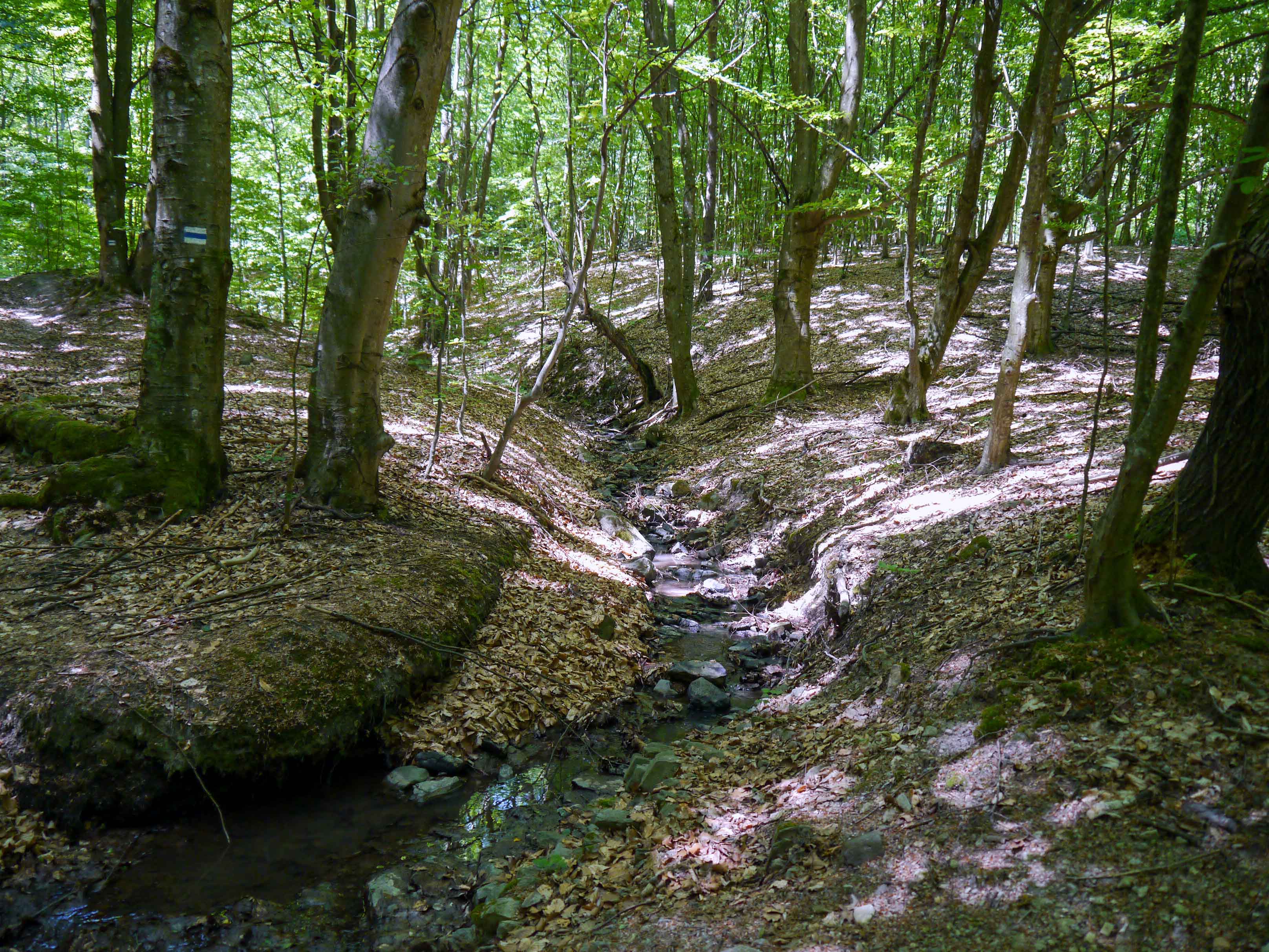
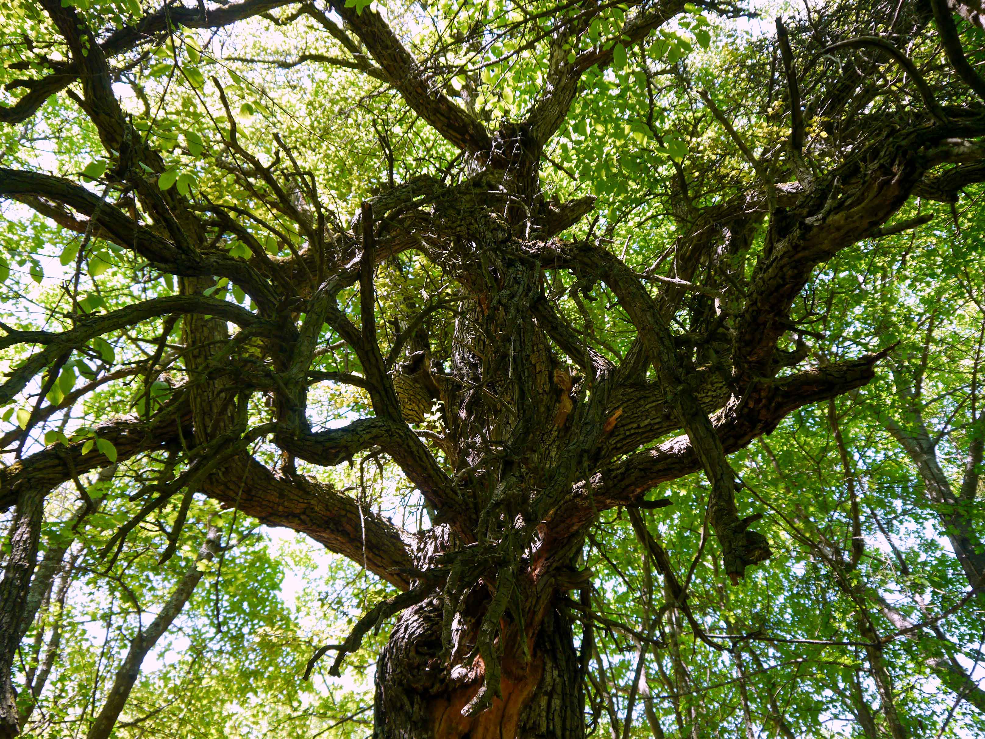


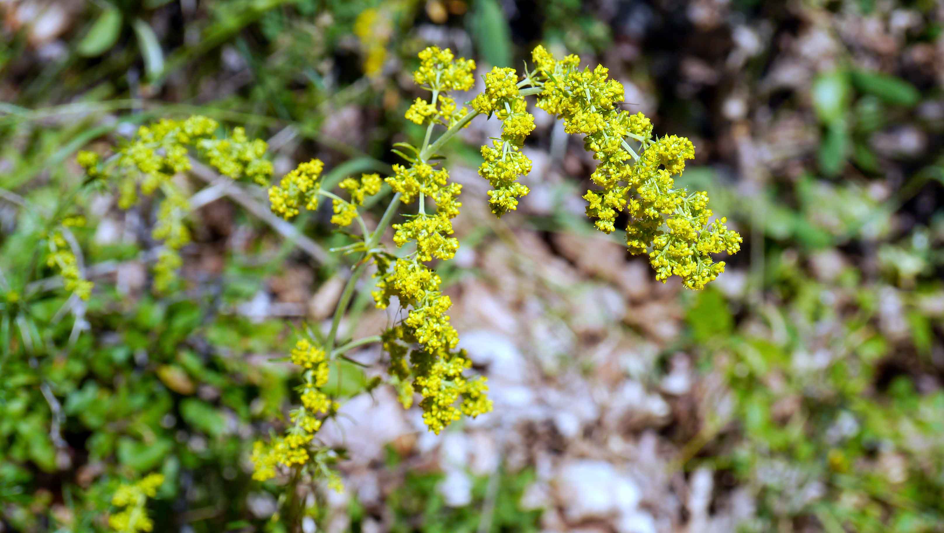
Sources
http://www.kektura.hu
https://www.termeszetjaro.hu/hu/tour/gyalogtura/orszagos-kektura/23265051//
